Breaking my arm at the end of August (and truthfully, it was the most tiniest of breaks) really threw my hiking trips for a loop. In fact, I resisted hiking and I really resisted taking photos with a “real” camera. I didn’t see it when I was in the middle of it, but it’s quite obvious looking back. My body and/or psyche just wanted none of it.
I went two weeks without hiking and I gave myself a pass on this, deciding to do two make-up hikes as soon as possible. To me, I still reached my goal.
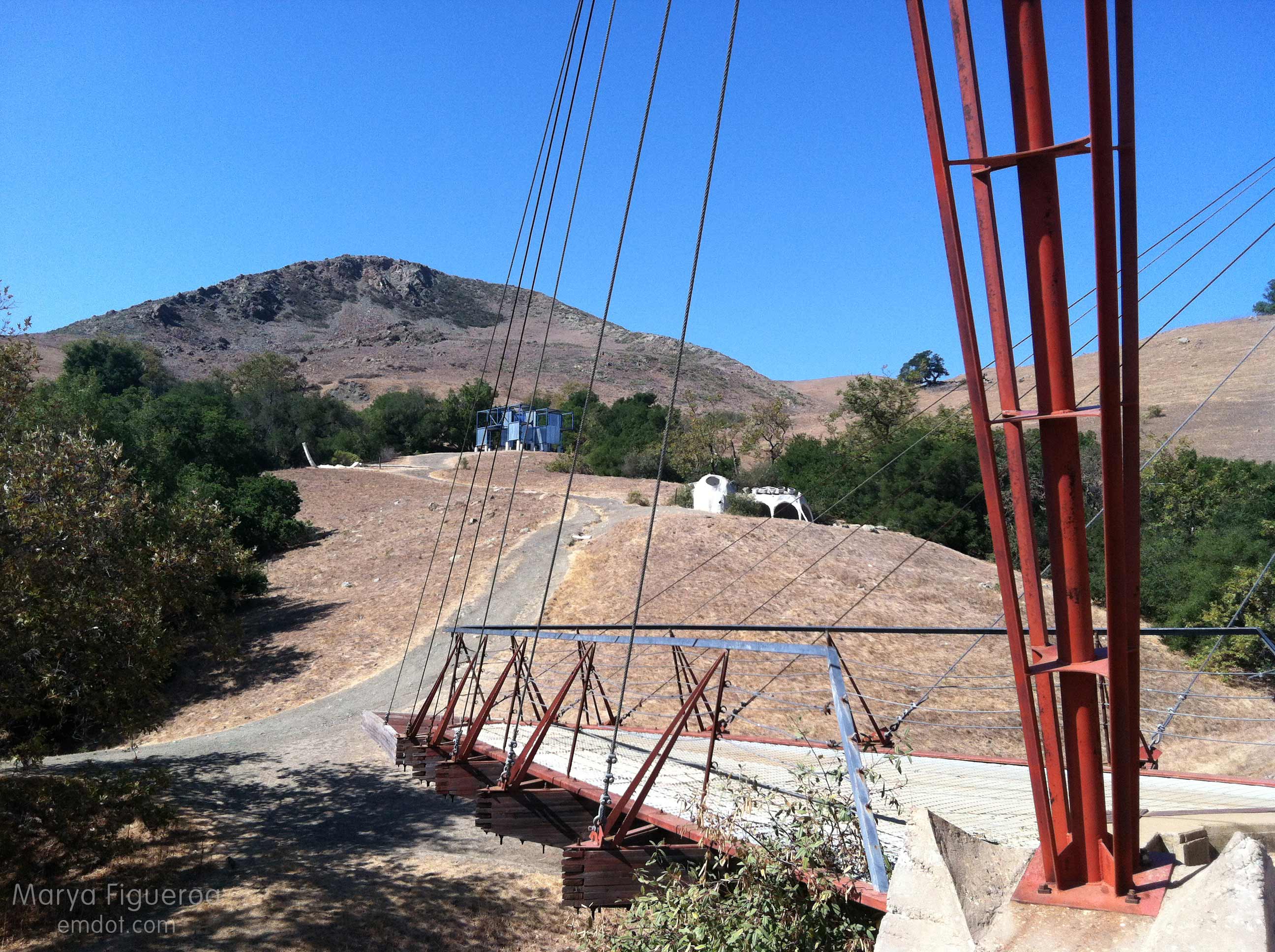
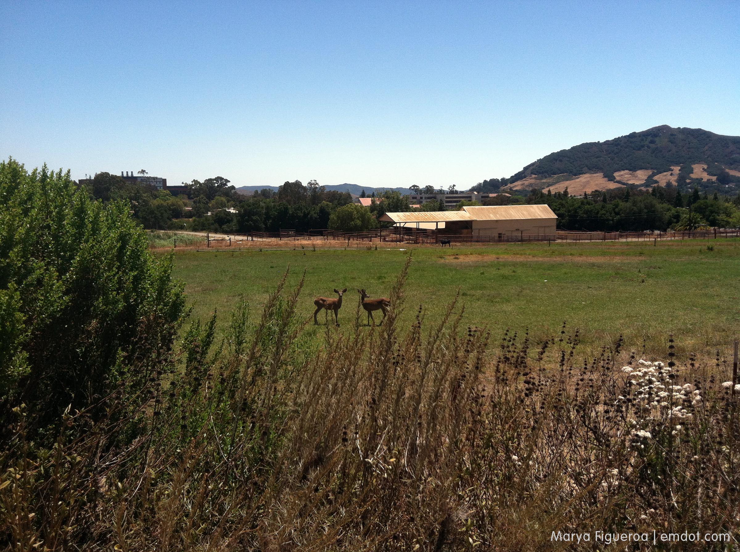
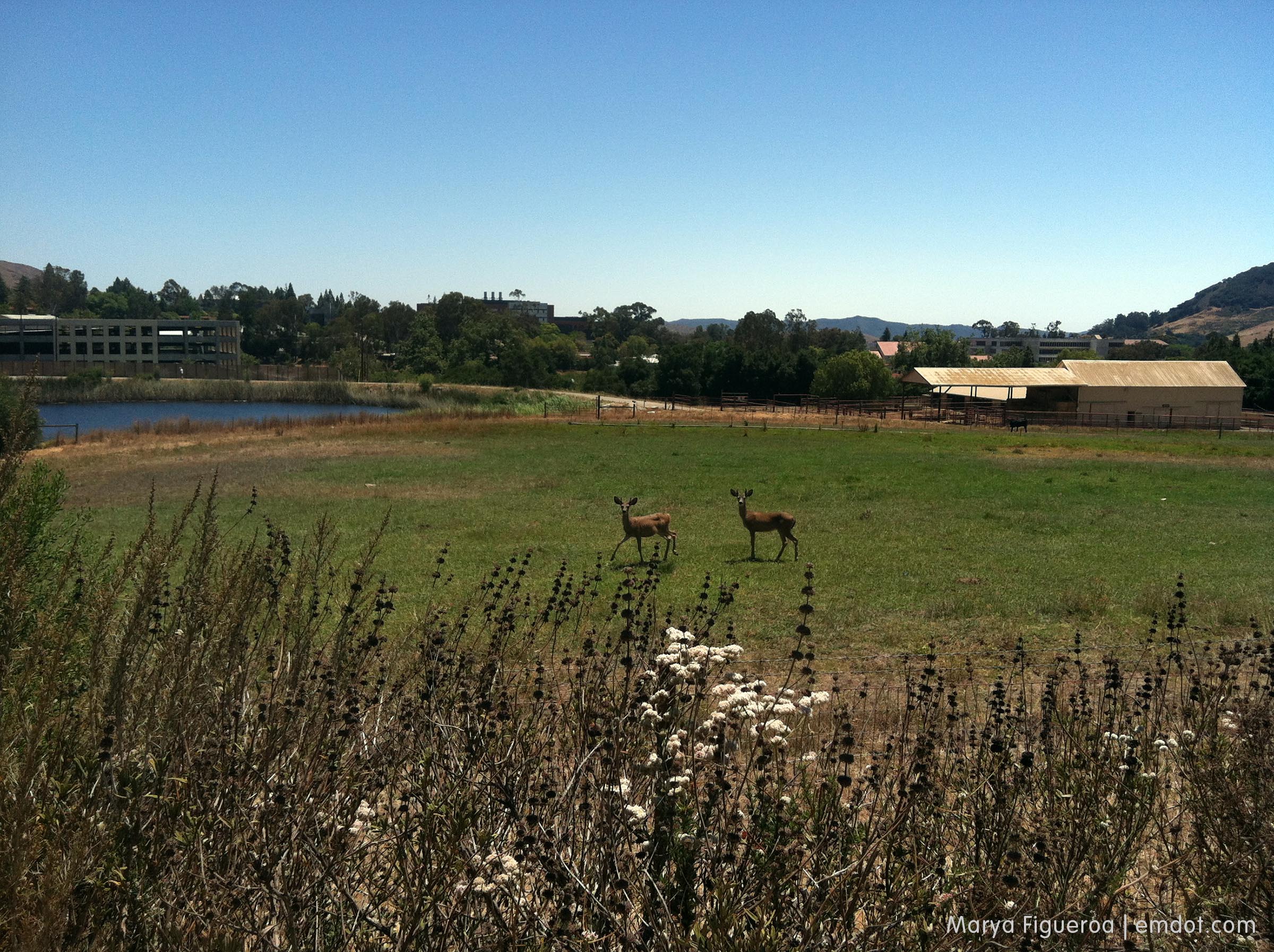
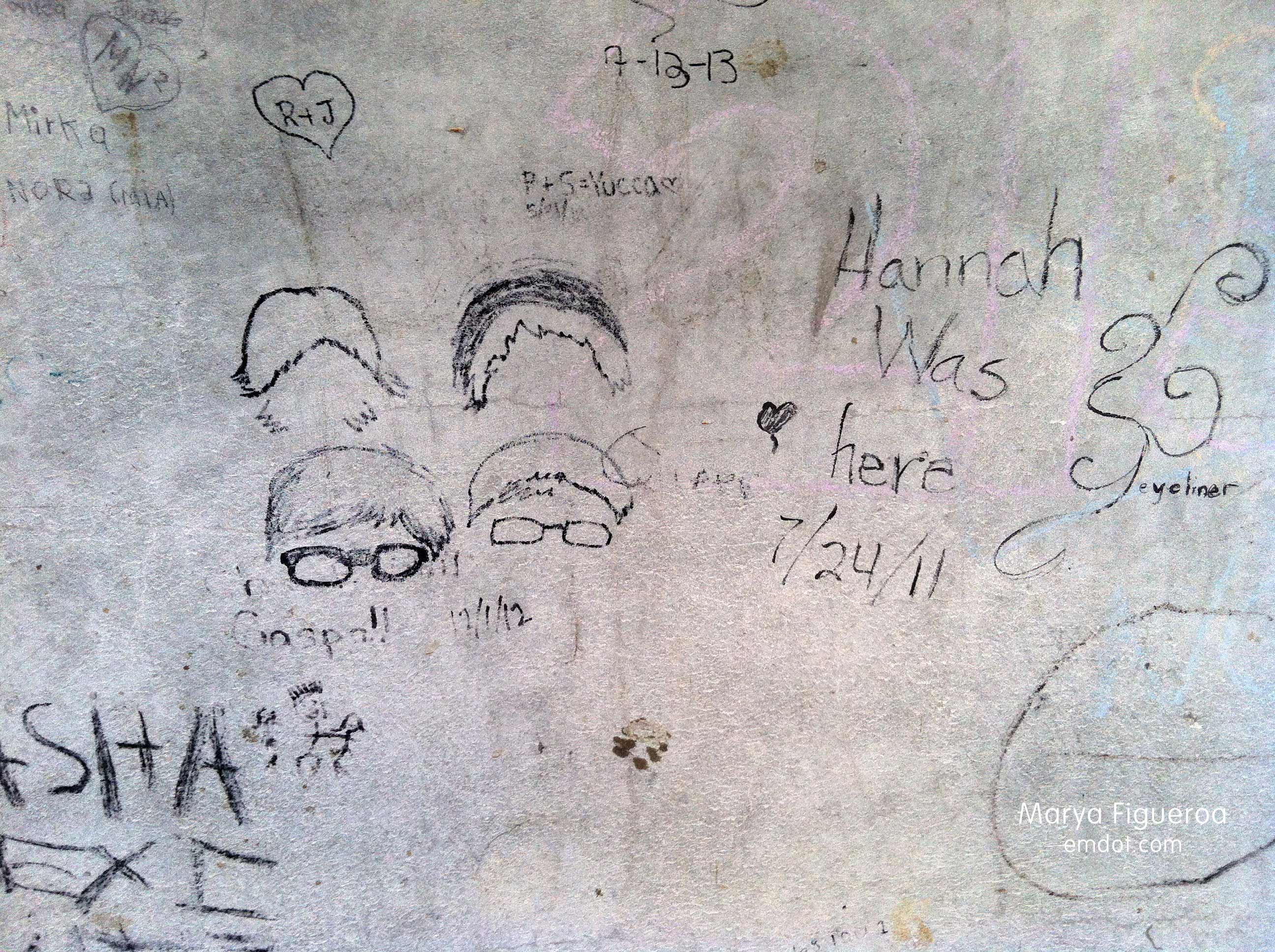
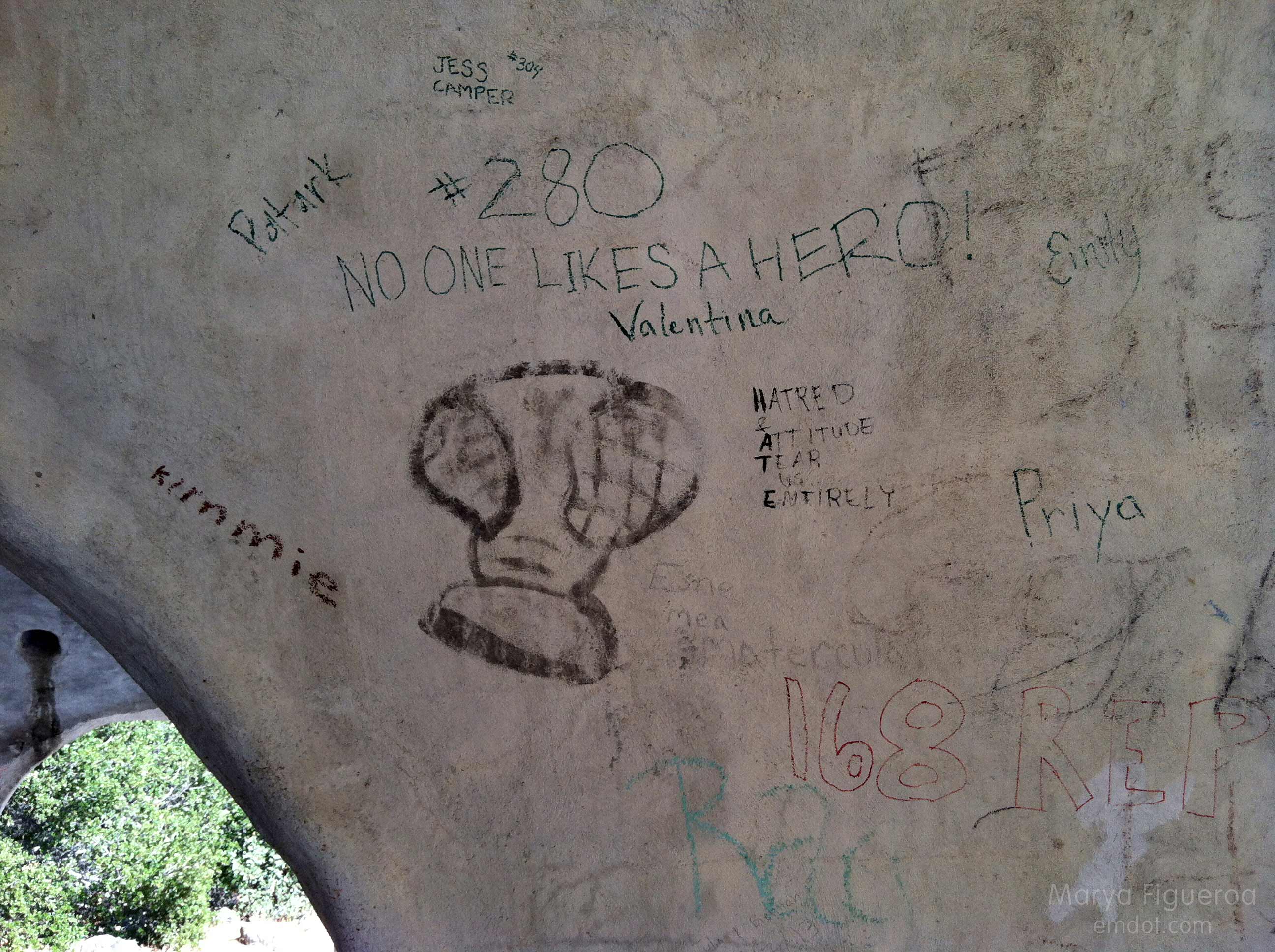
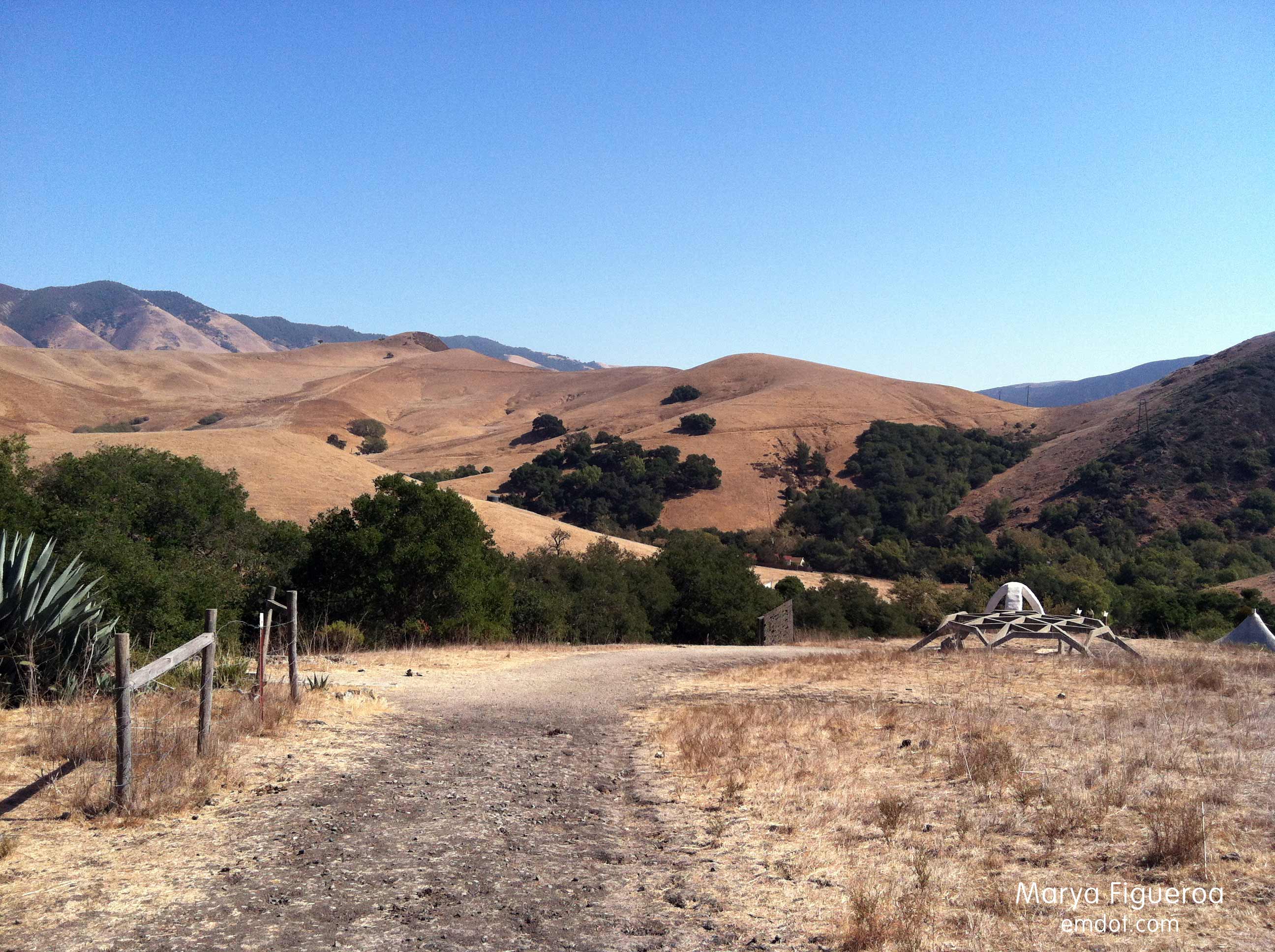
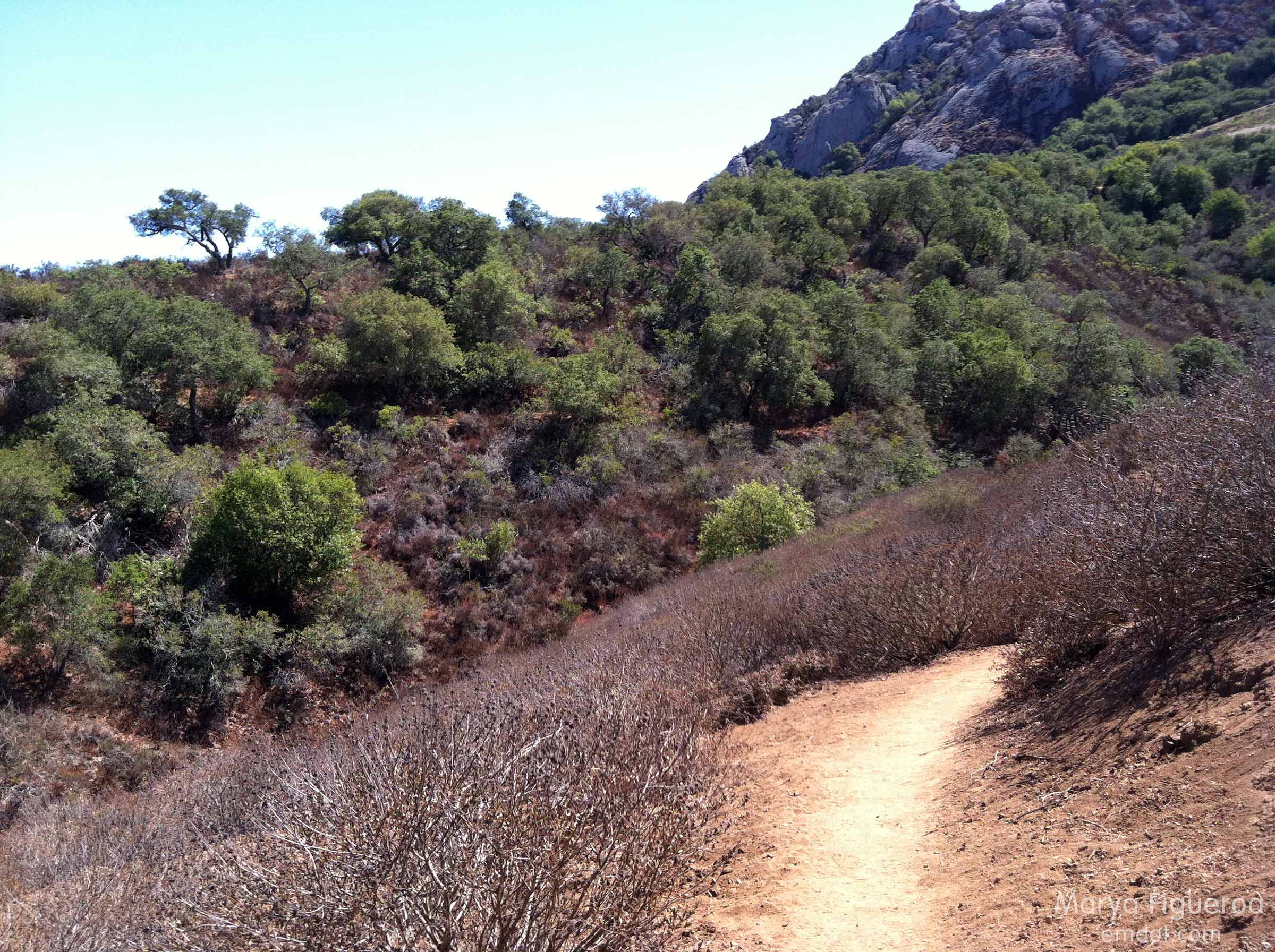
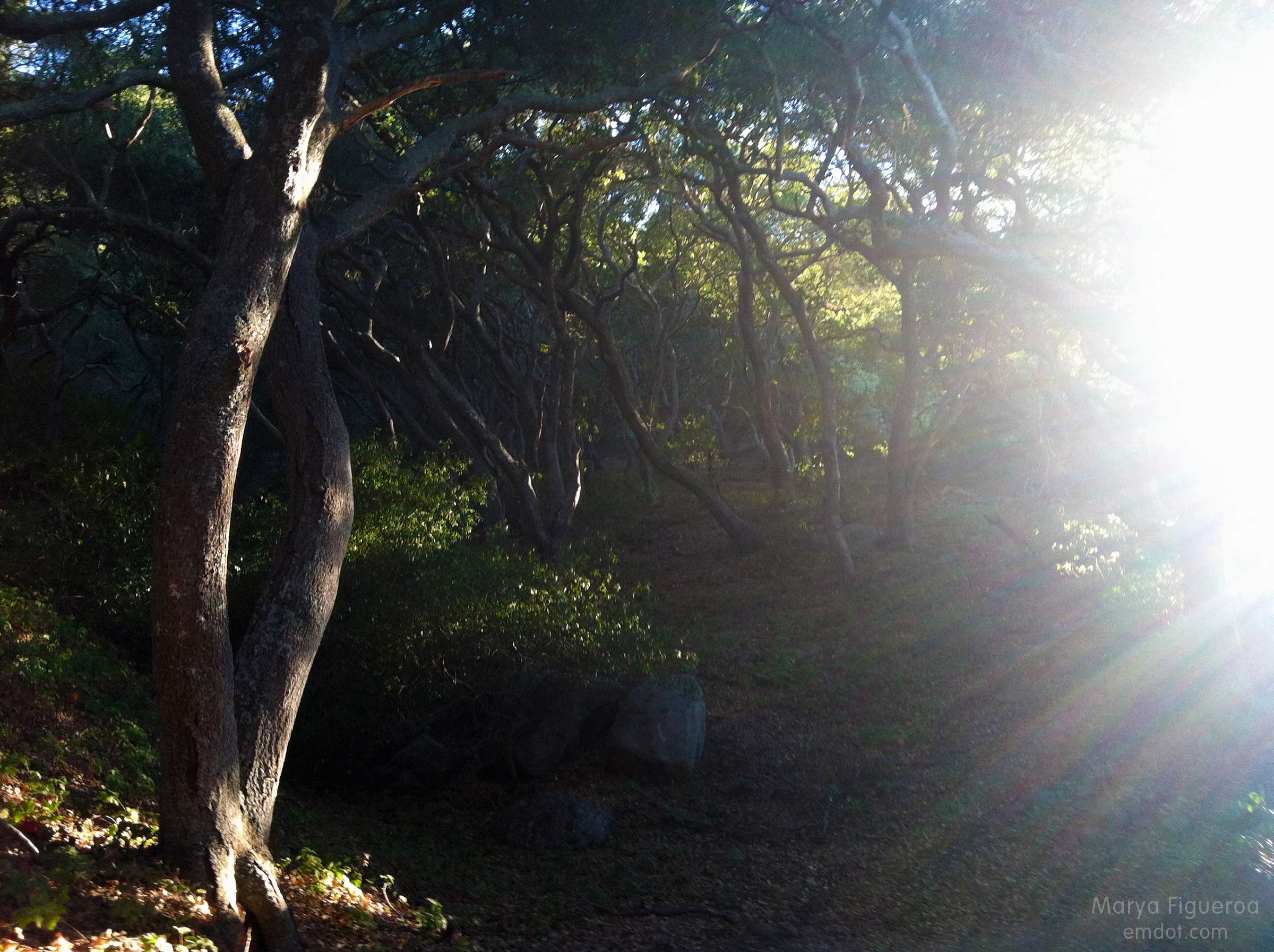
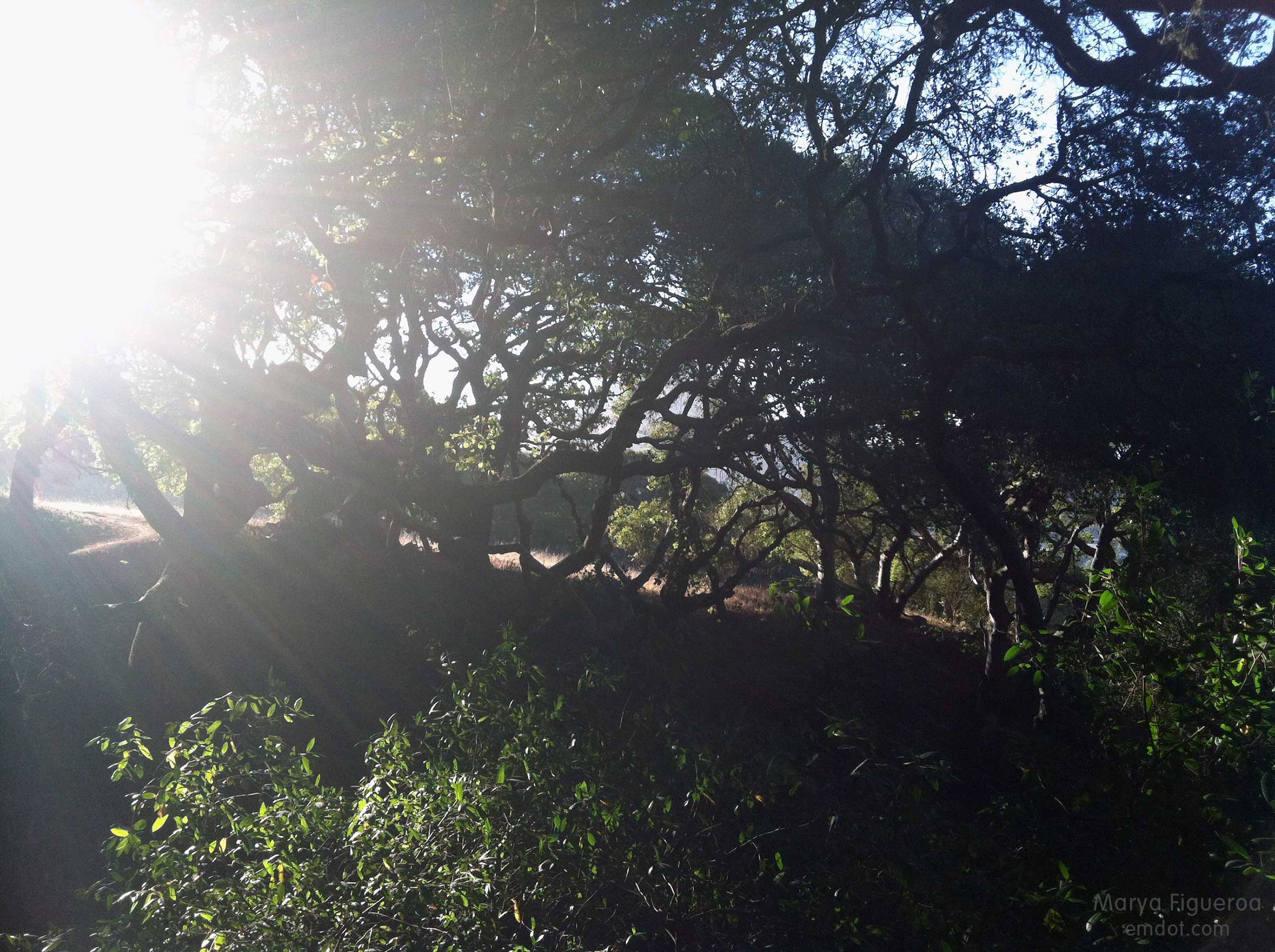
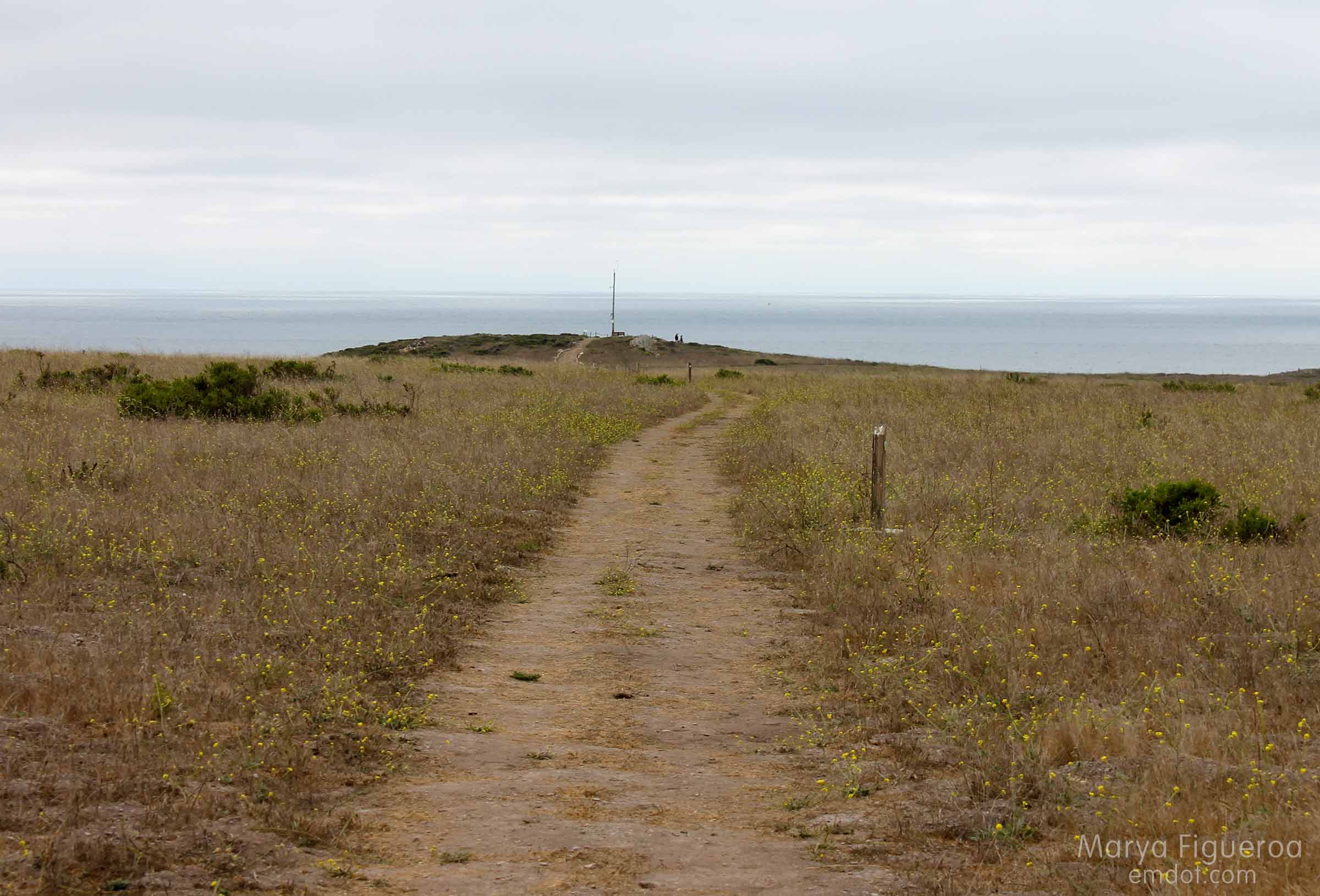
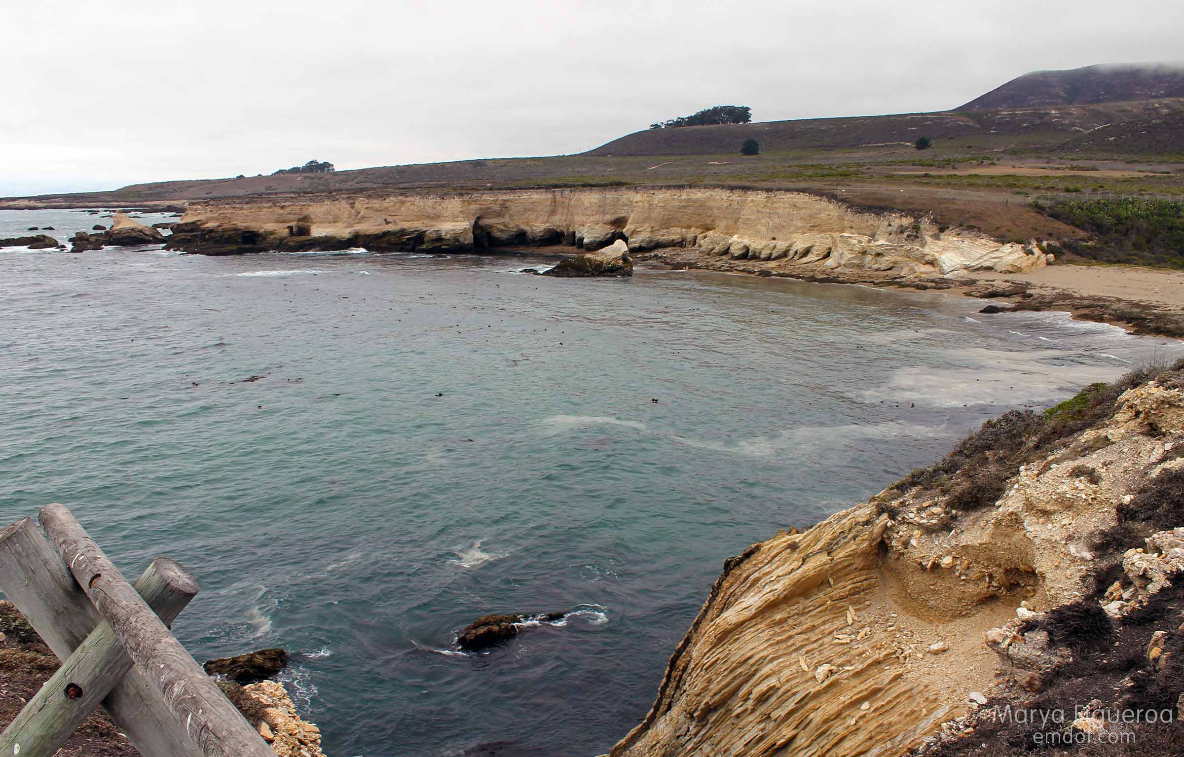
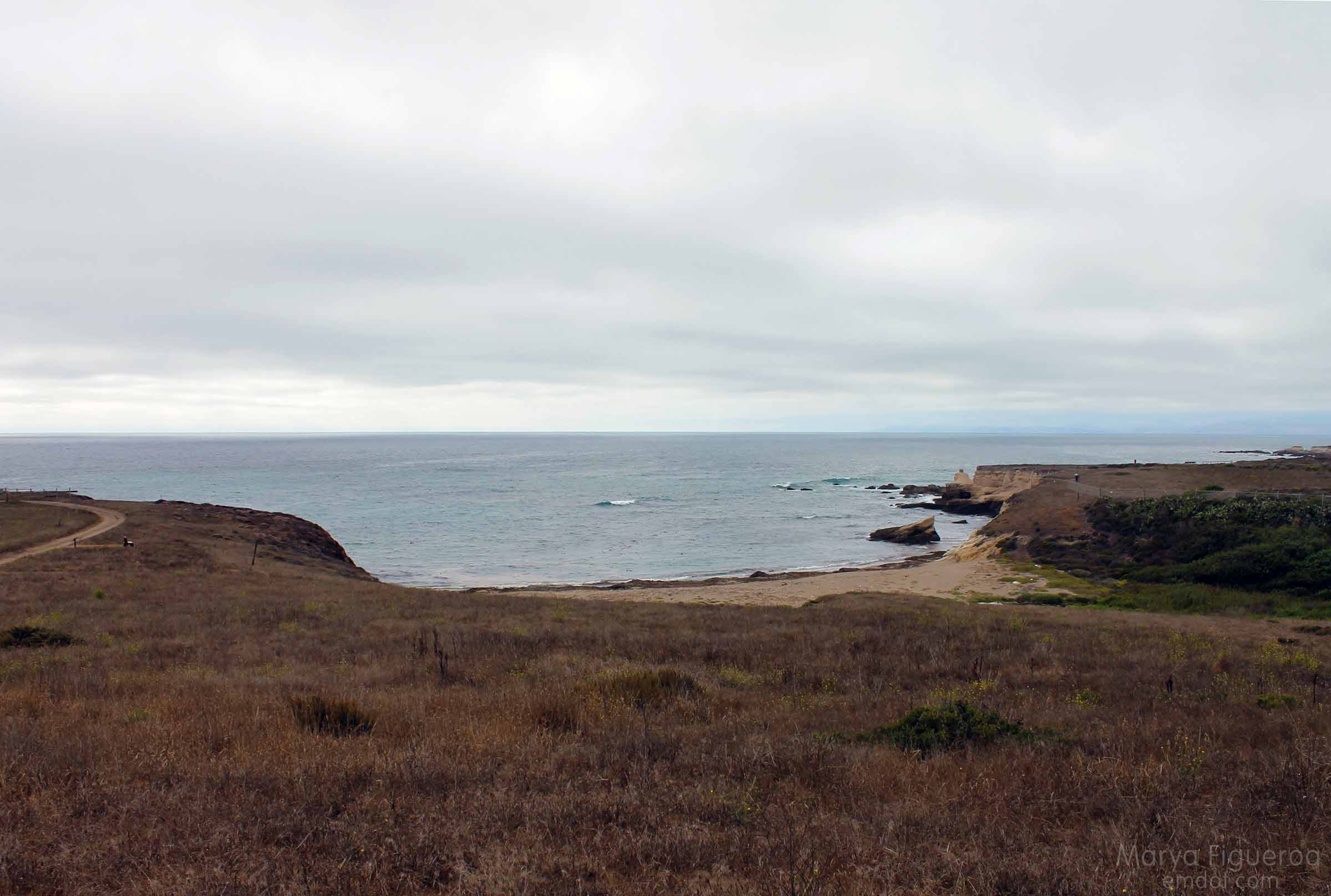
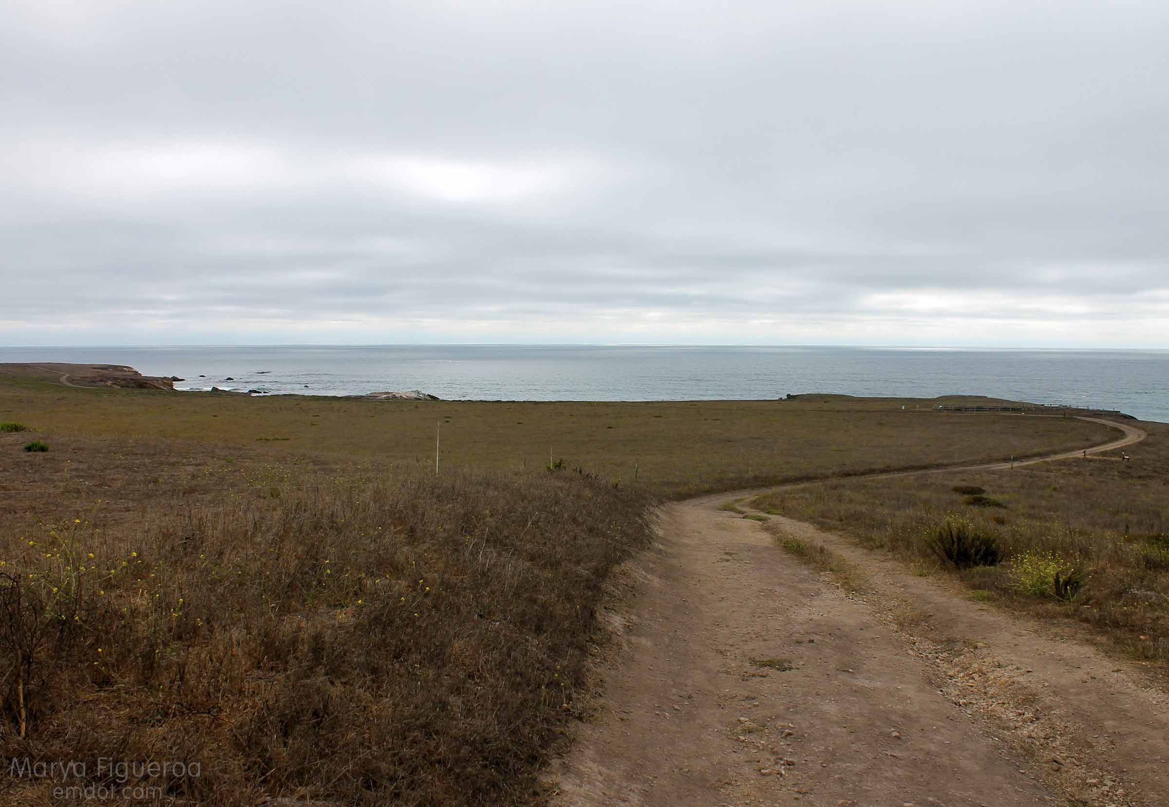
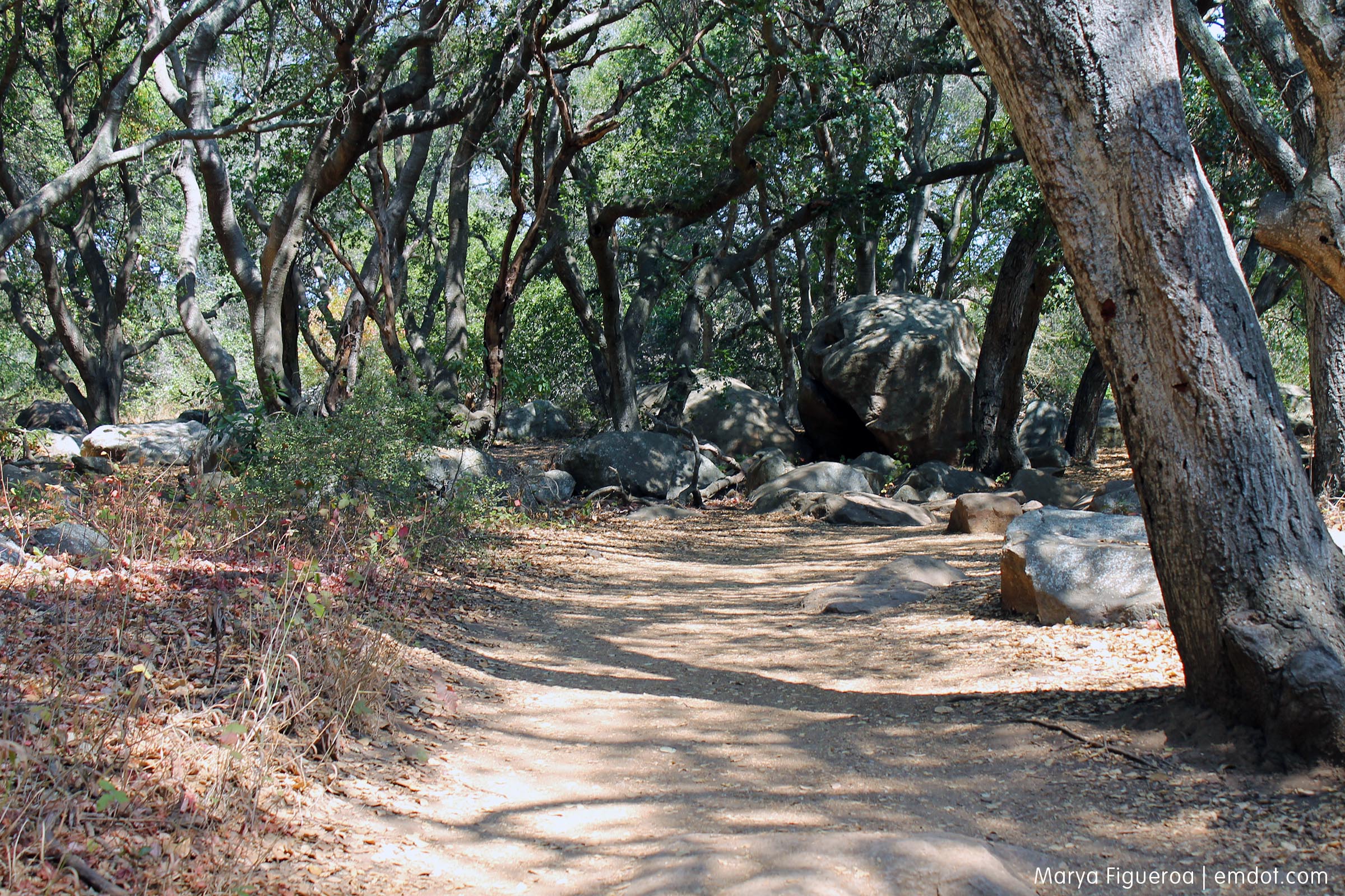
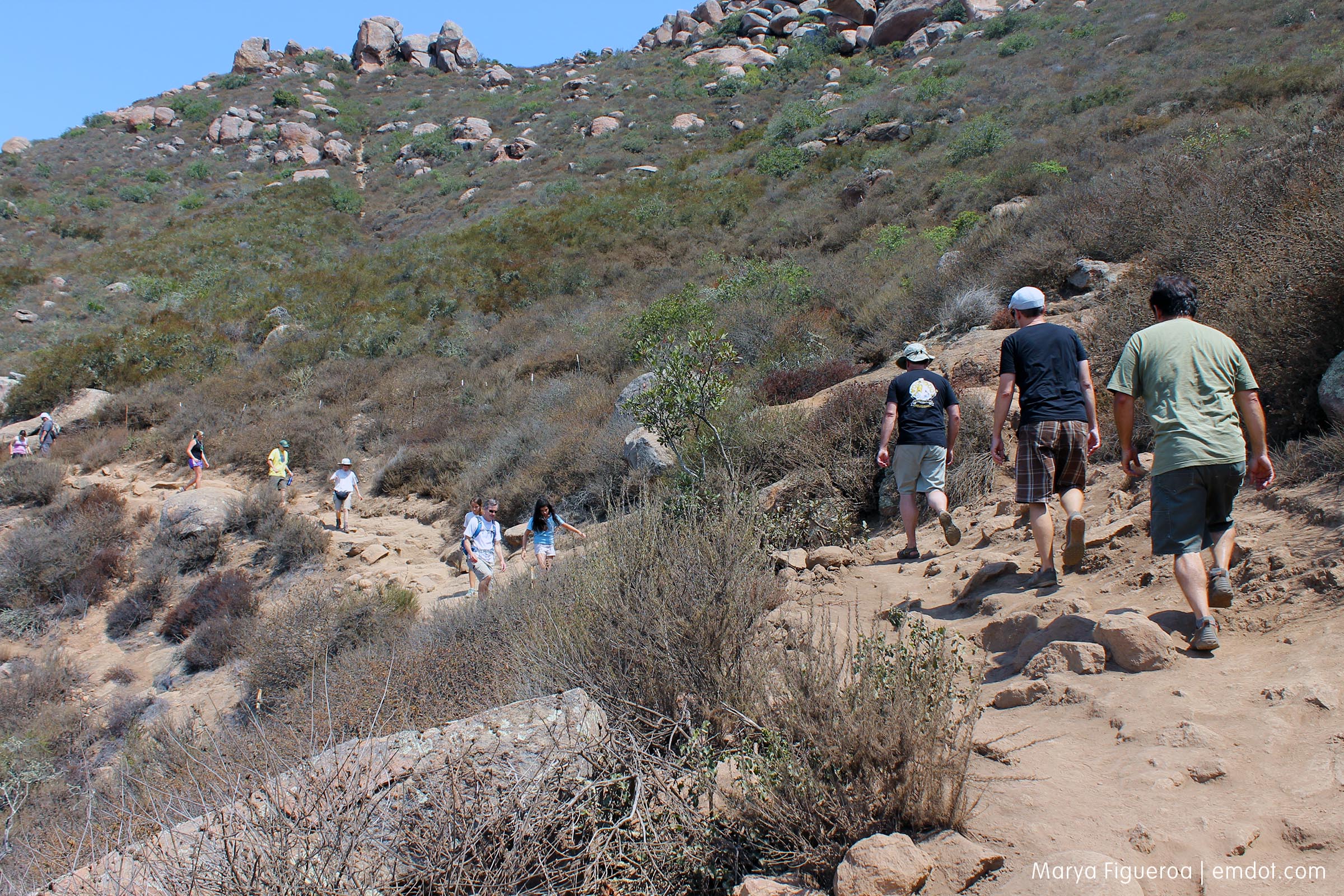
The last hike was Cal Poly’s Poly Canyon/Design Village. And, again with the “resisting” theme—I didn’t take one (not one!) photo on the very last hike of the goal. Talk about anti-climatic. I went back a week later, did the whole hike all over again and took photos.
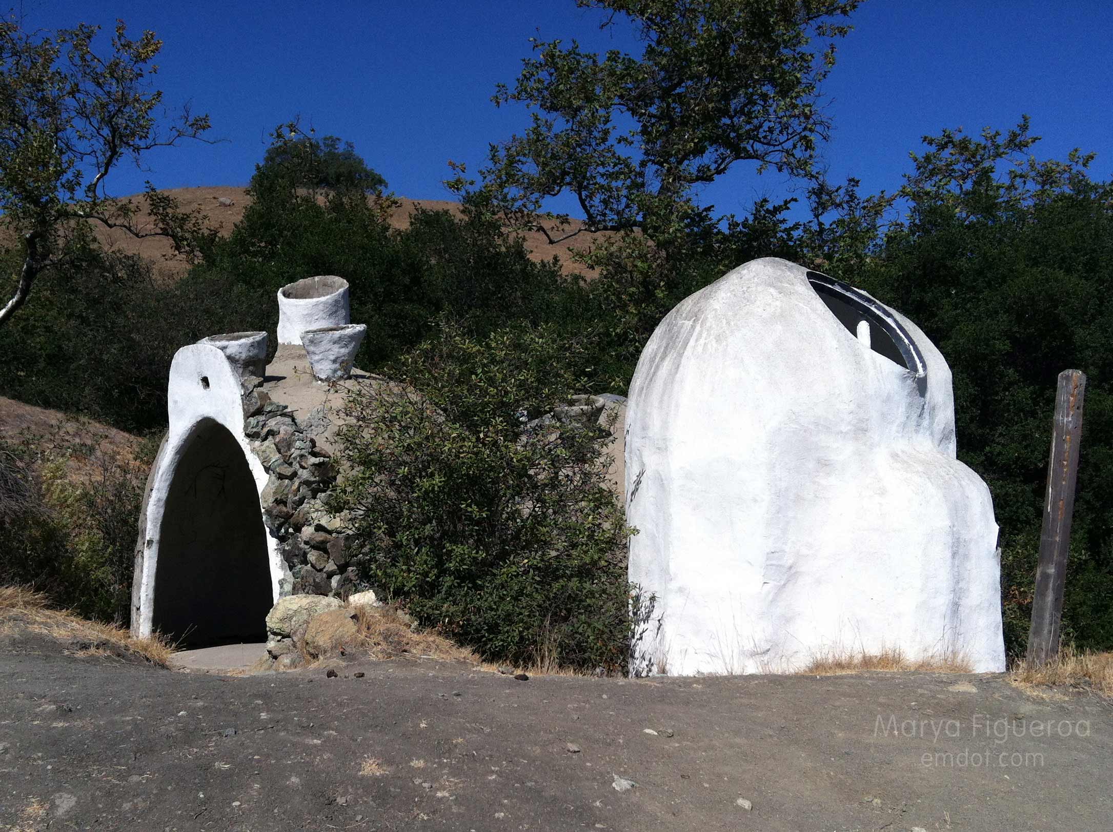
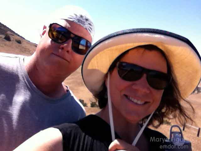
The good part of this hike was that I did it with two new friends, Matt and Robin. They both recently moved to California (Matt from Pennsylvania, Robin from Utah) and began working at Cal Poly. It was really fun to go on this hike with two new transplants and point out things and share information.
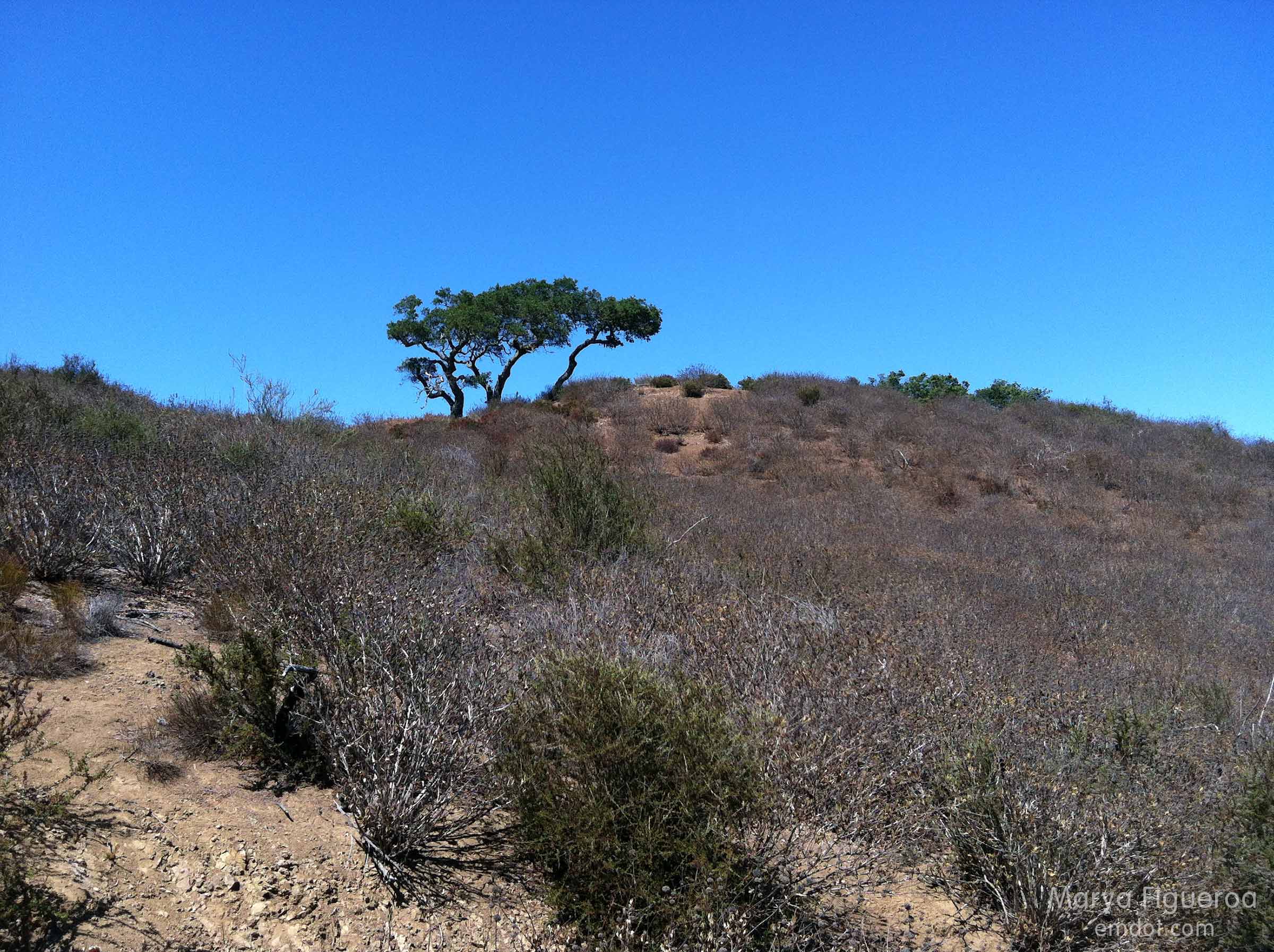
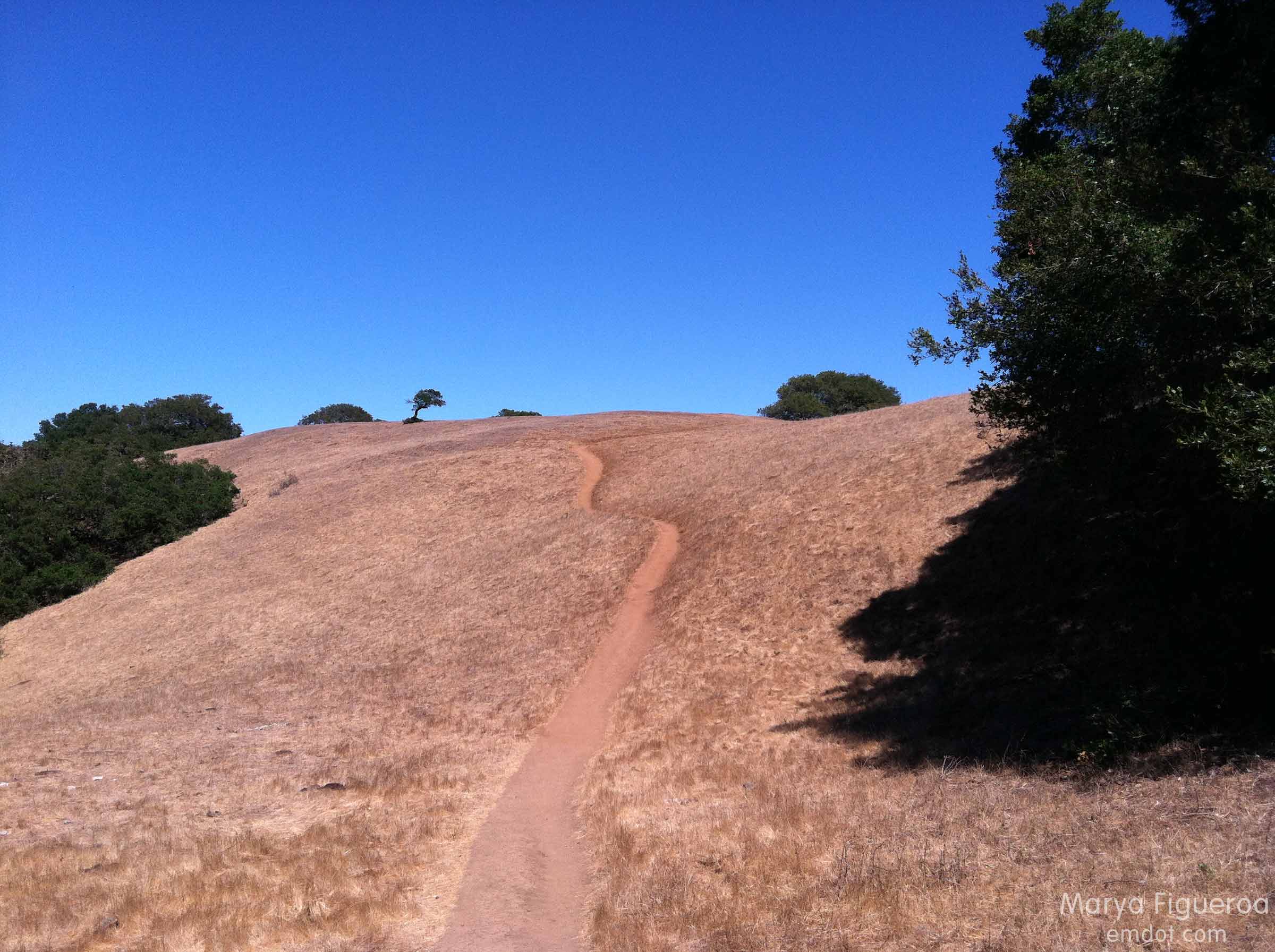
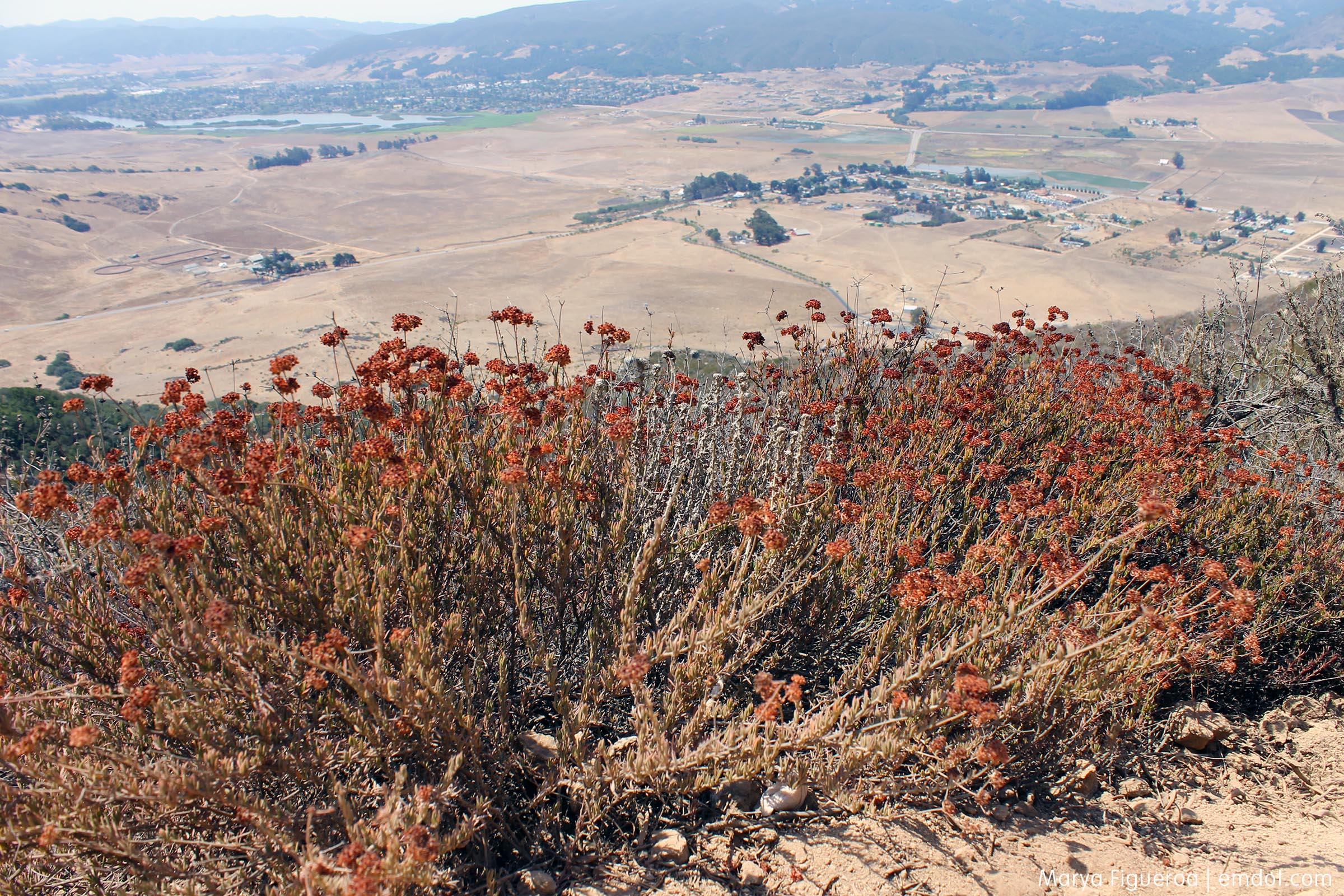
The bad part of the hike was all the brown. We are so dry here on the Central Coast. Rumor has it that Phoenix (PHOENIX!) got more rain than we did last year. We are so dry that even the air feels brittle. Everything is a shade of faded yellow, faded tan, faded beige. Washed out. Sun parched.
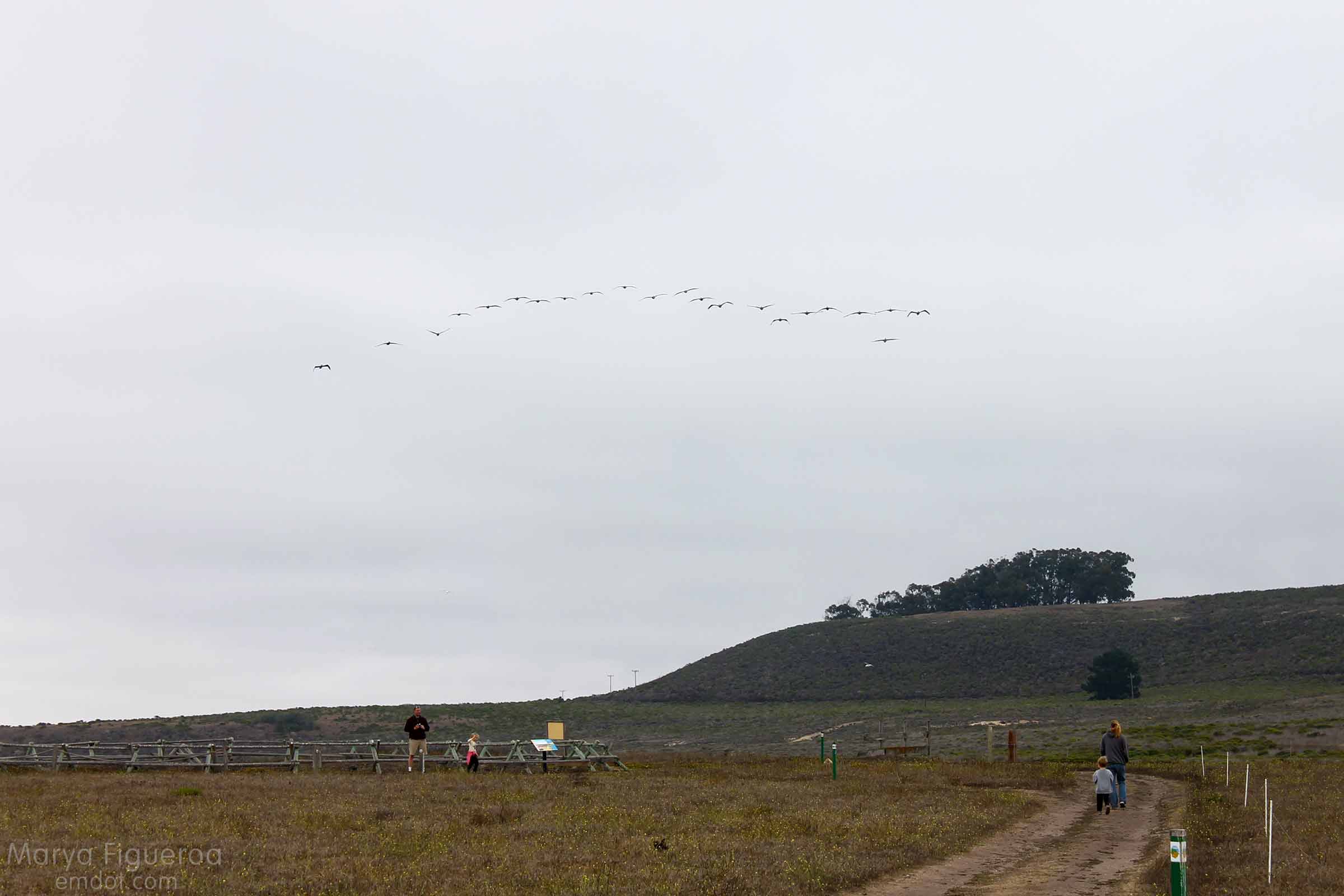
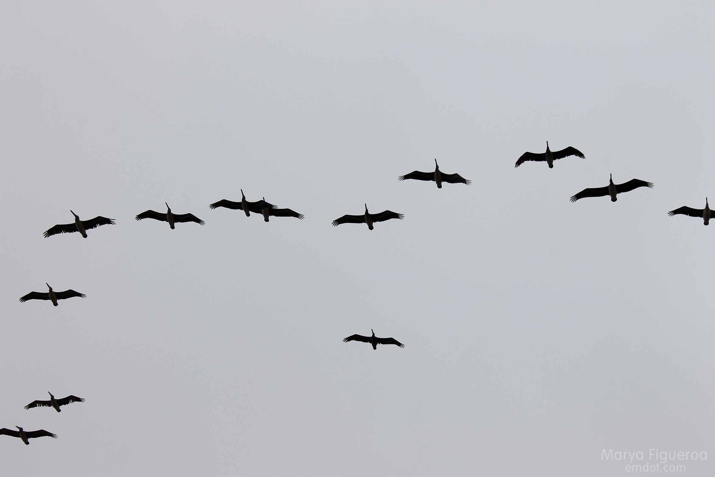
The lucky part: having a hike like this just minutes from my desk at work. Seeing hawks and horses. An easy hike to squeeze in to any busy day.
See all the photos from this hike in a slide show (or on Flickr).
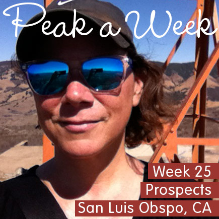
Peak a Week
Prospects
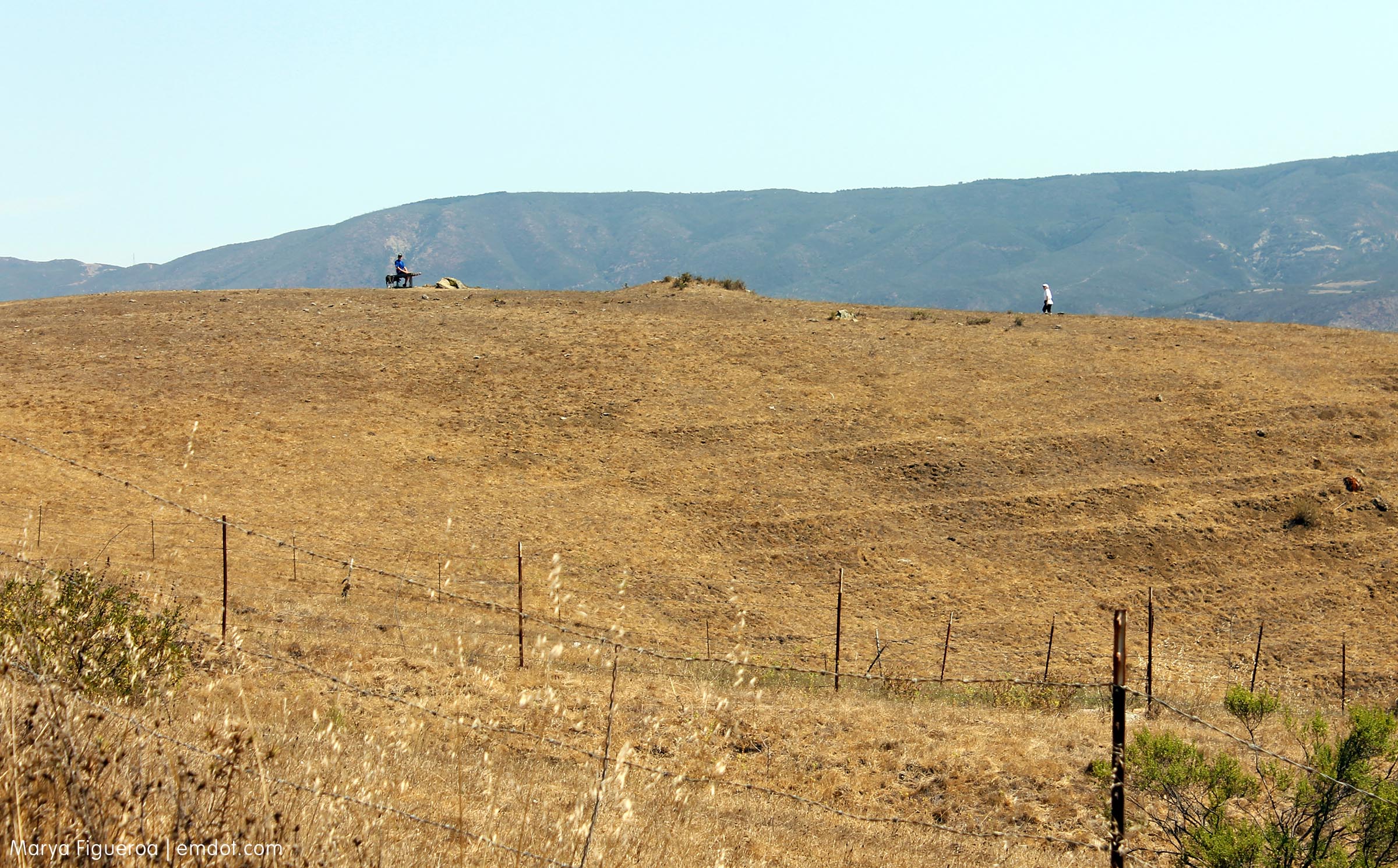
Week 25. September 22. I took two weeks off from hiking because of my broken arm. Yes, I know — one does not need their arm to hike. However… my body was tired. It needed to rest and so I did let it rest. I decided to take a couple weeks off and add a couple weeks at the end as make ups.
This is make up number one.
Prospects has different names depending on who you are, who your friends are, where you live, and perhaps when you first started hiking this hill. My first hike was in October 1989. I remember the day because it was also the same day as the La Prieta earthquake that shook SF and Santa Cruz.
My friends call it Prospects, though I do have a couple other friends who moved here later than the first group of friends and they call it High School Hill. I cannot abide by that. (Okay, cannot end that sentence with out a smile. Love you high-school-hillers.)
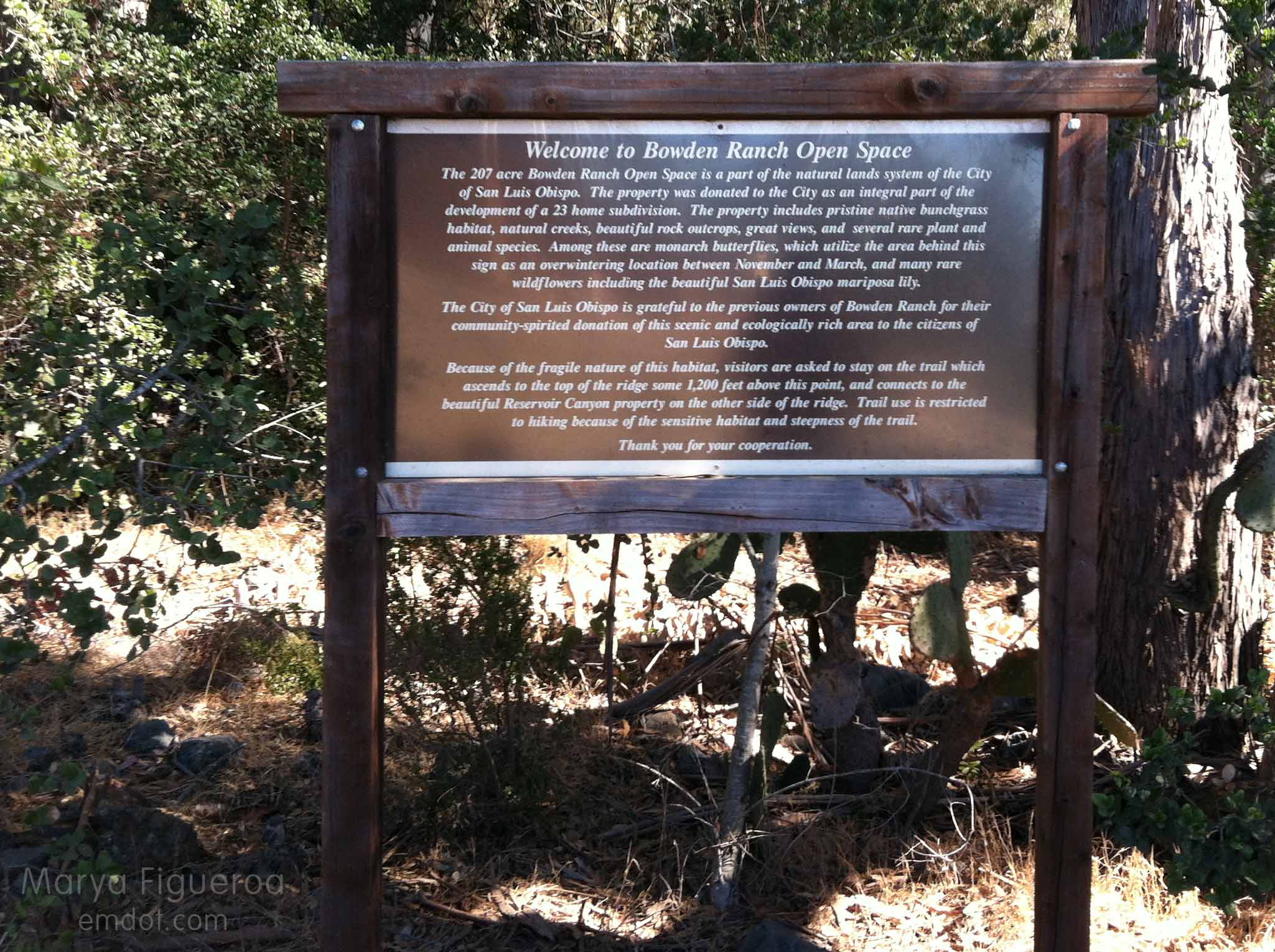
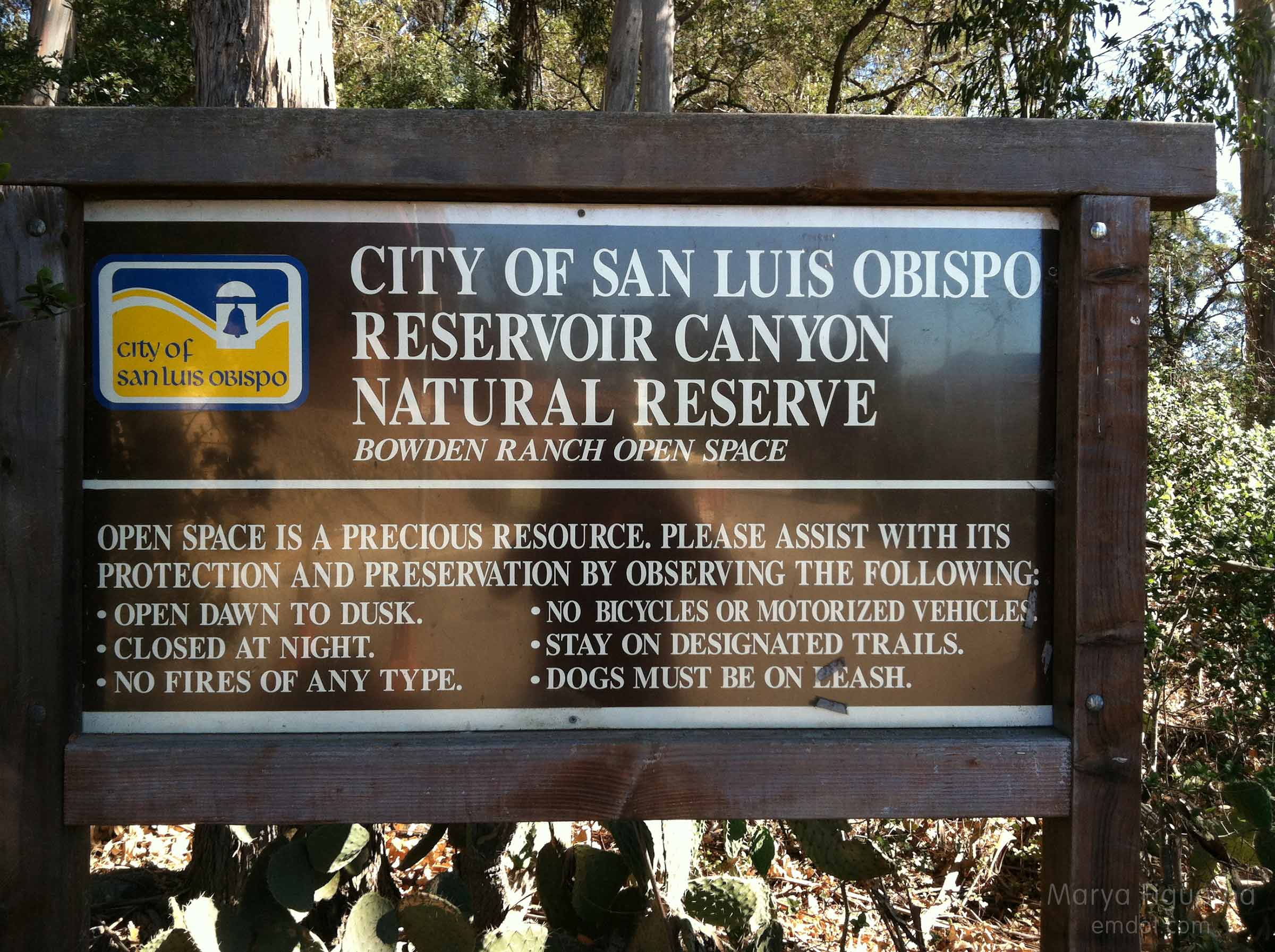
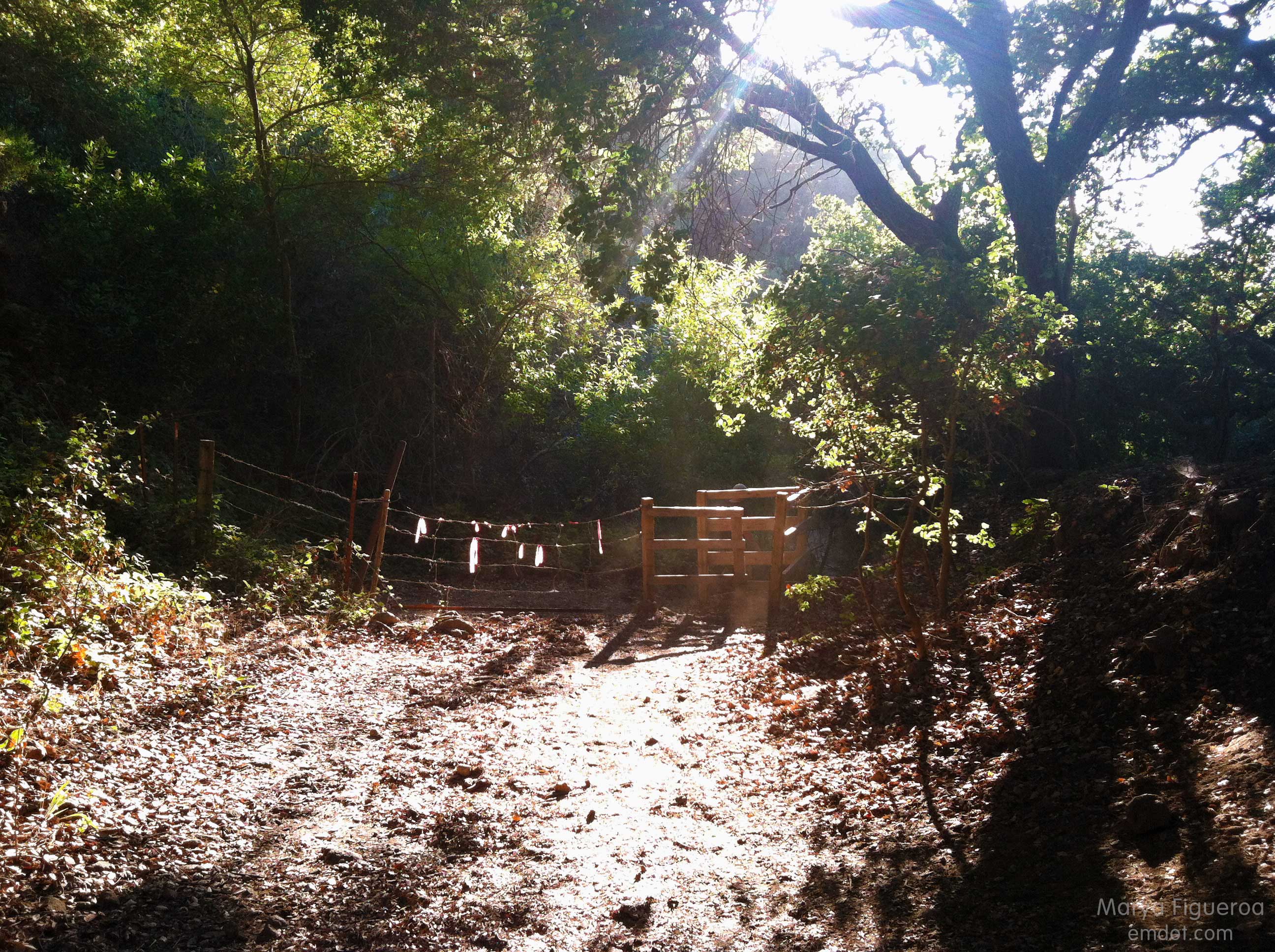
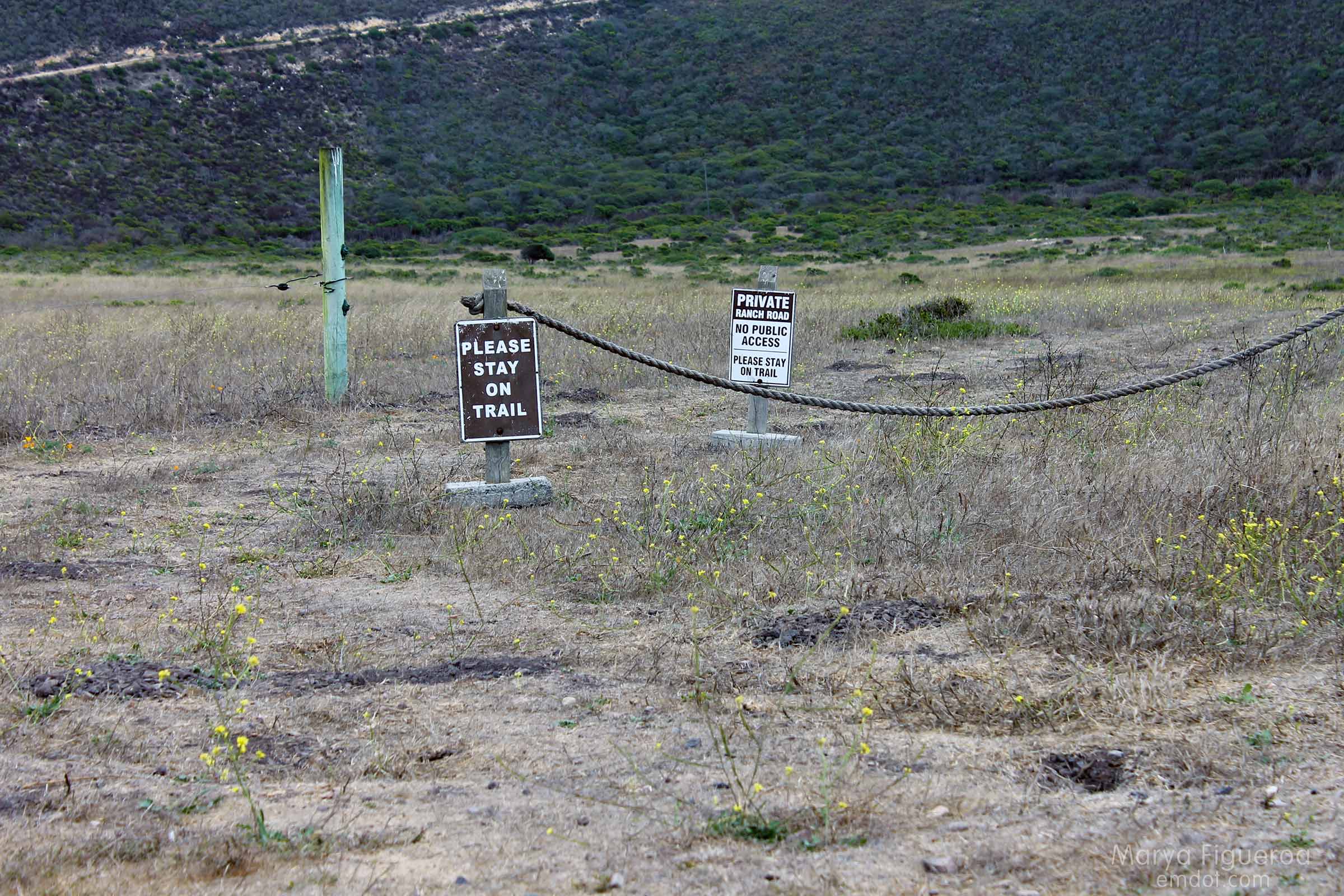
At the base of the hike nowadays is a sign that says Bowden Ranch and also mentions Resevoir Canyon. One steep hike, so many names.
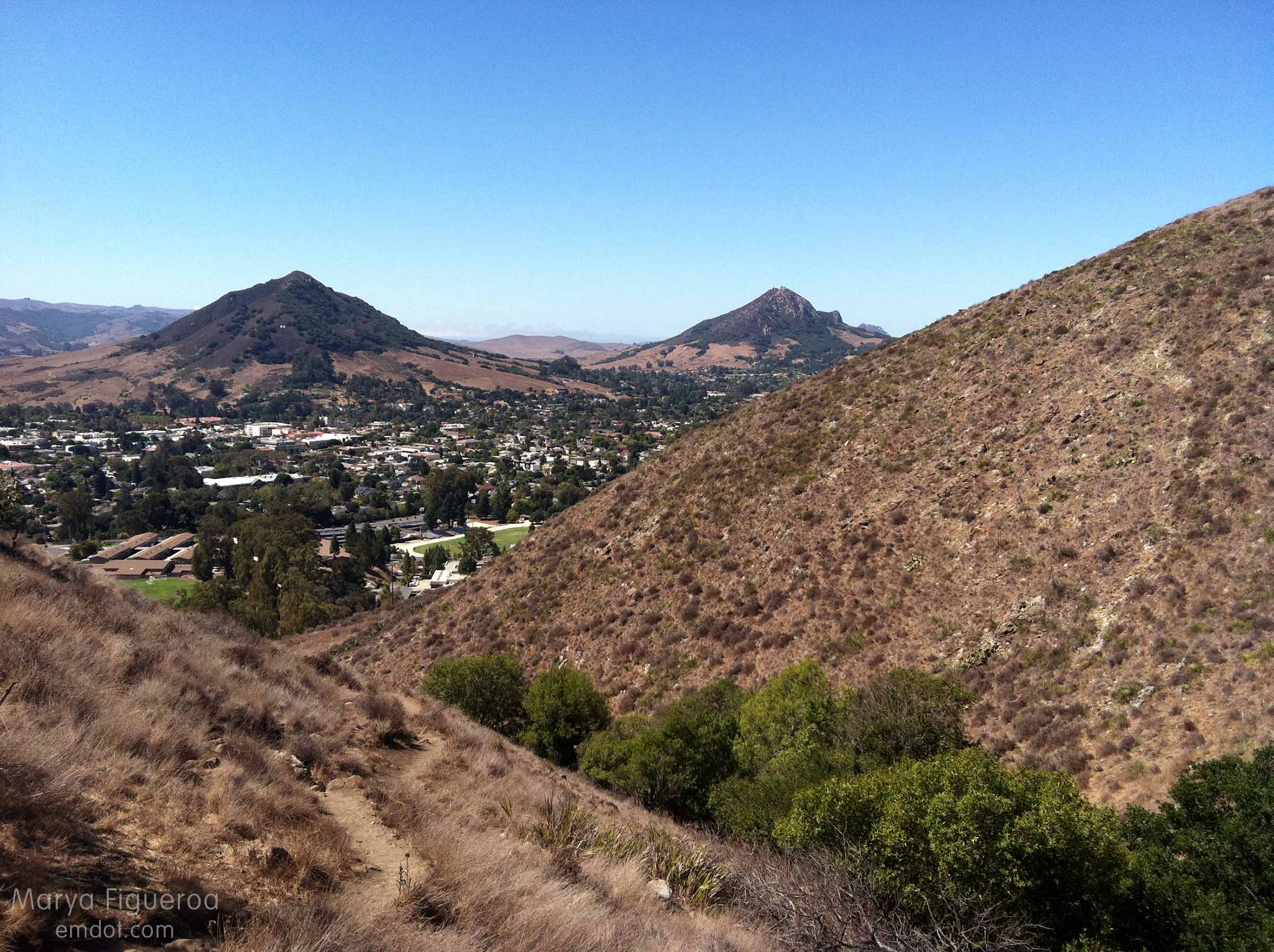
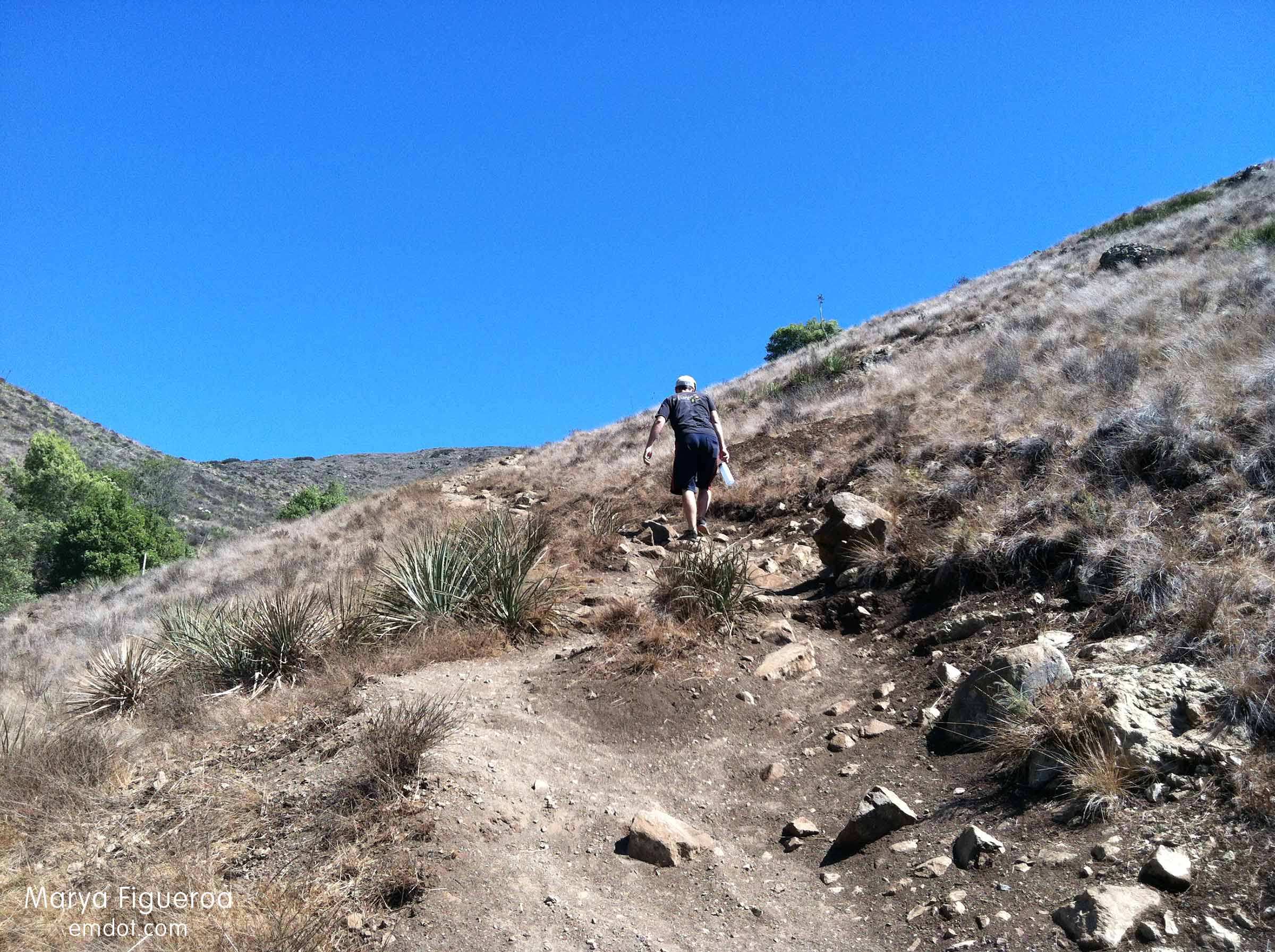
I haven’t done this hike very often and I think that’s because the former trail was straight up through dry grass. A very steep grade with the possibility of ticks? No fun!
The new trail, however, is hugely improved. It has switch backs and old spaghetti-western type fencing. It has (some) shade. The grade is still very steep, so get ready for a whole lot of elevation in a short period of time (I know you can do it.).
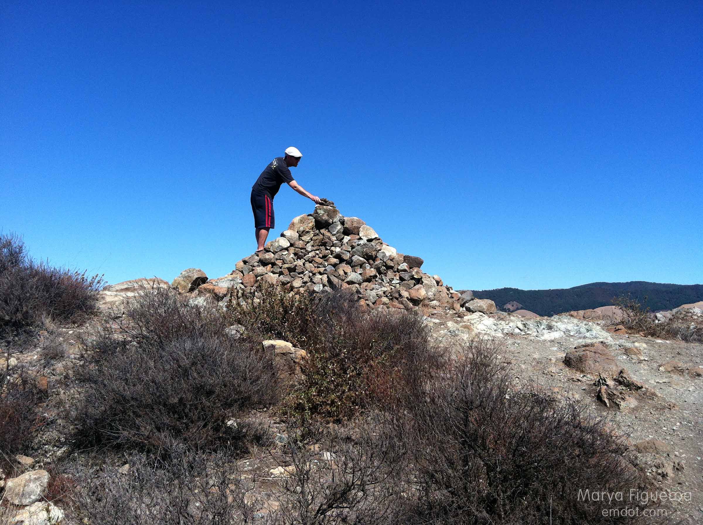
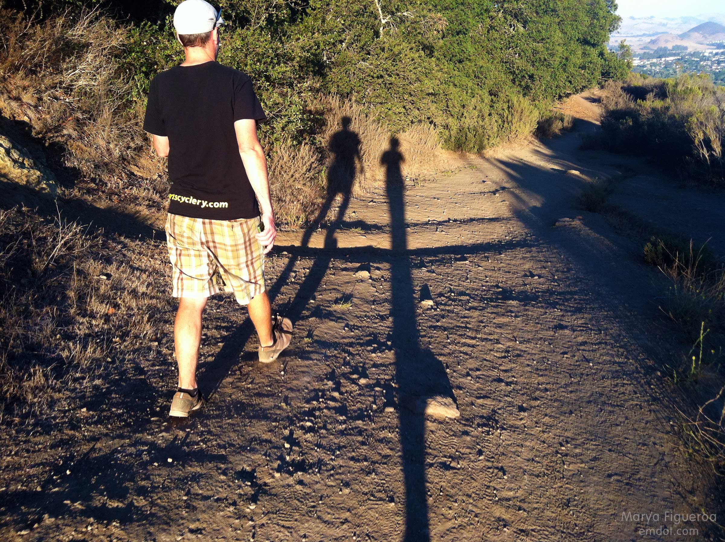
Steve and I both added a rock to this cairn.
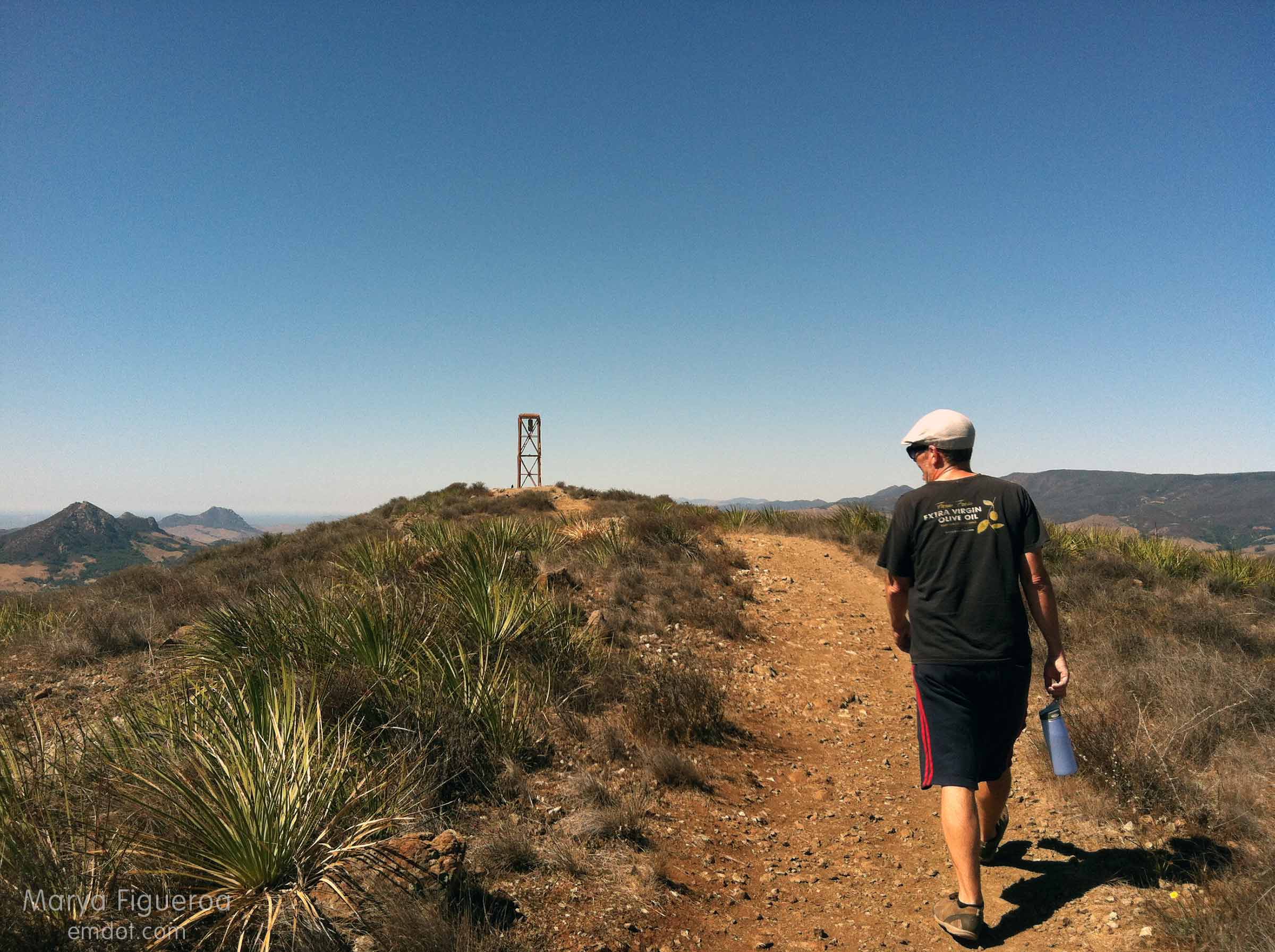
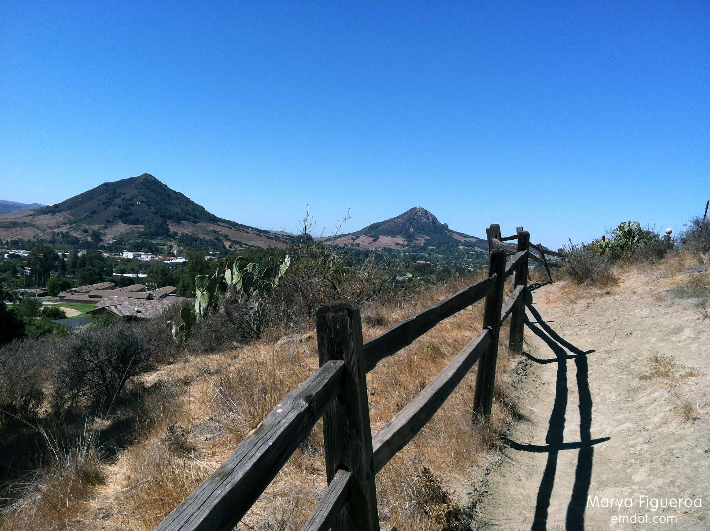
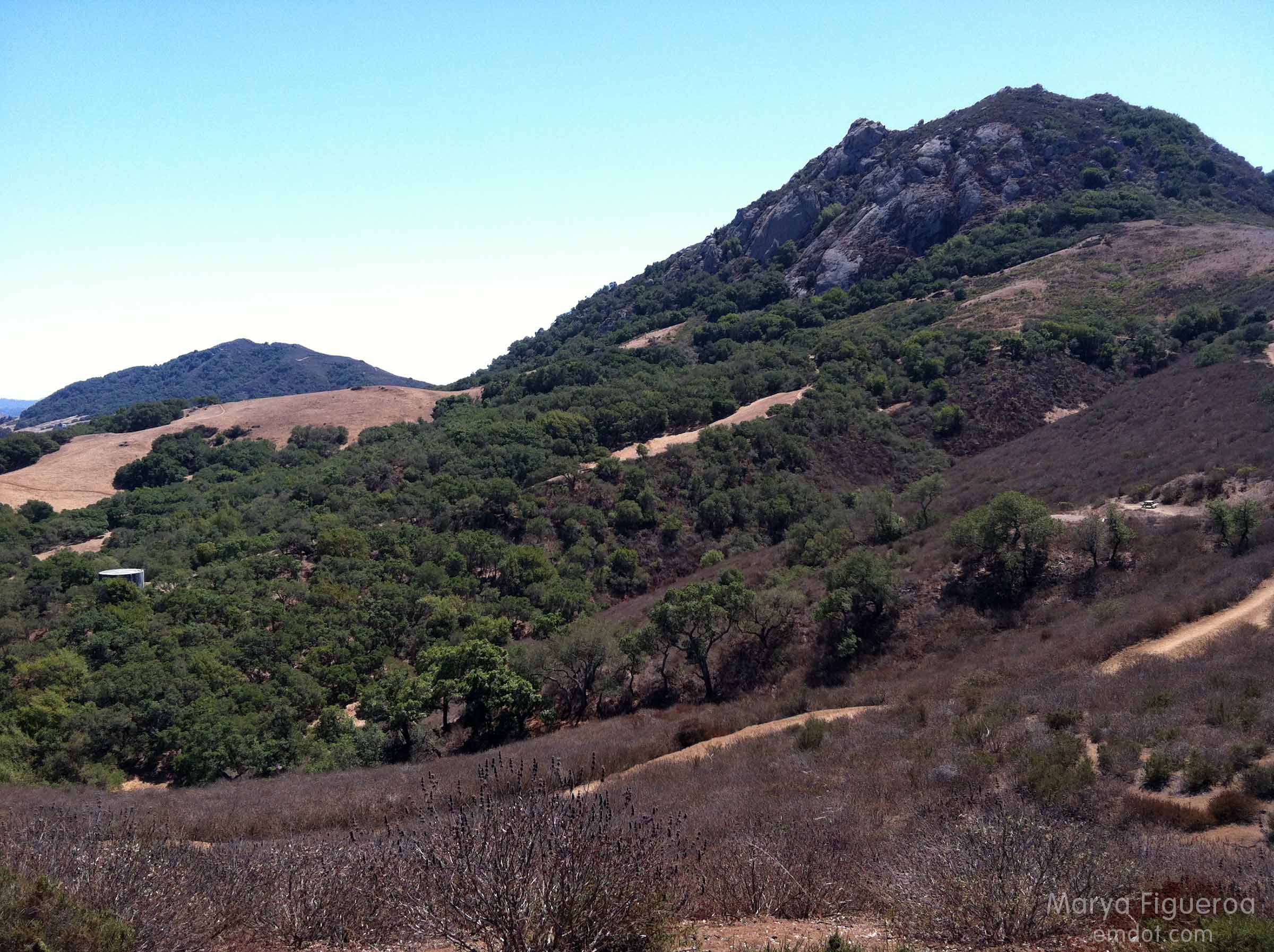
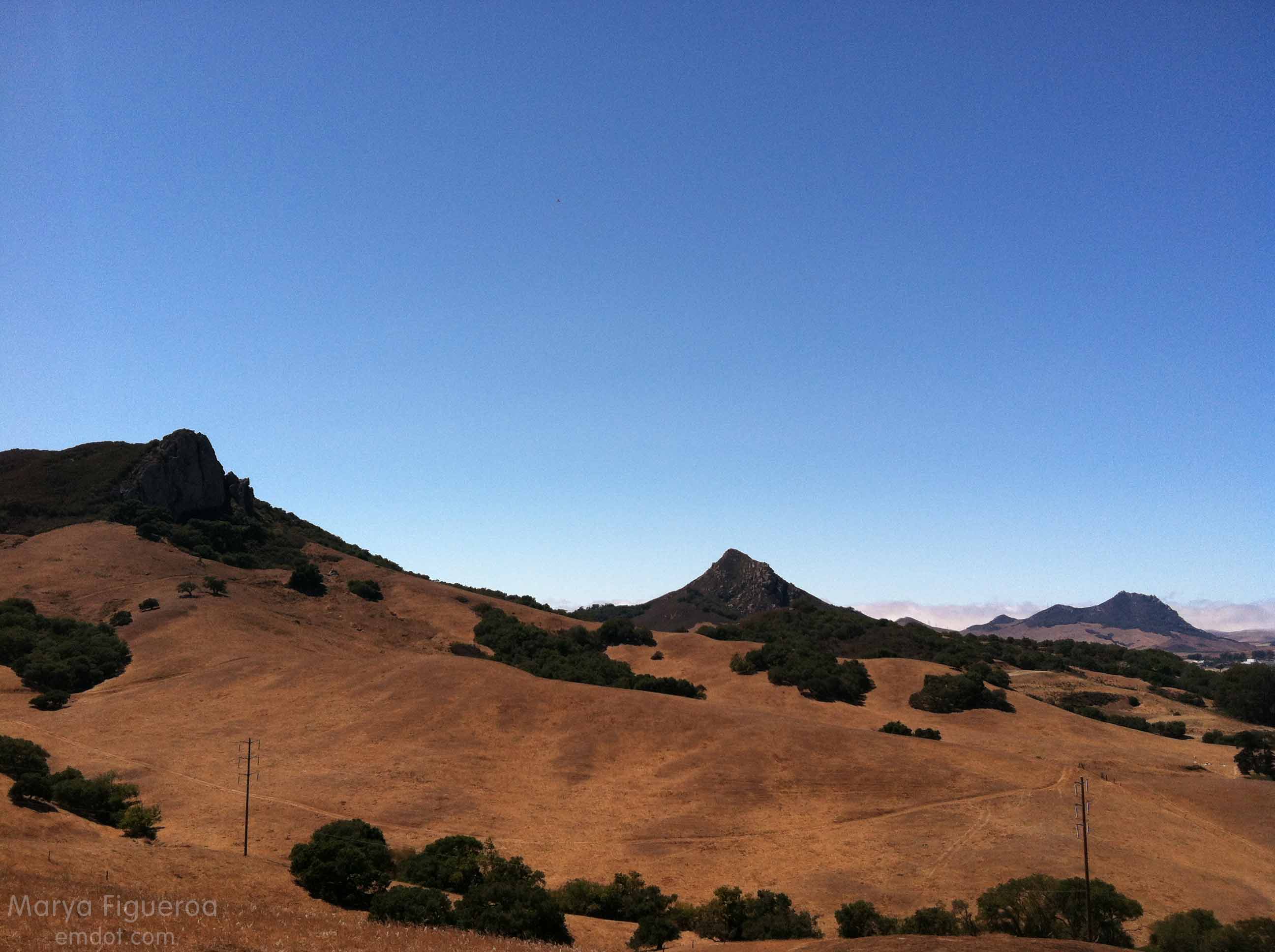
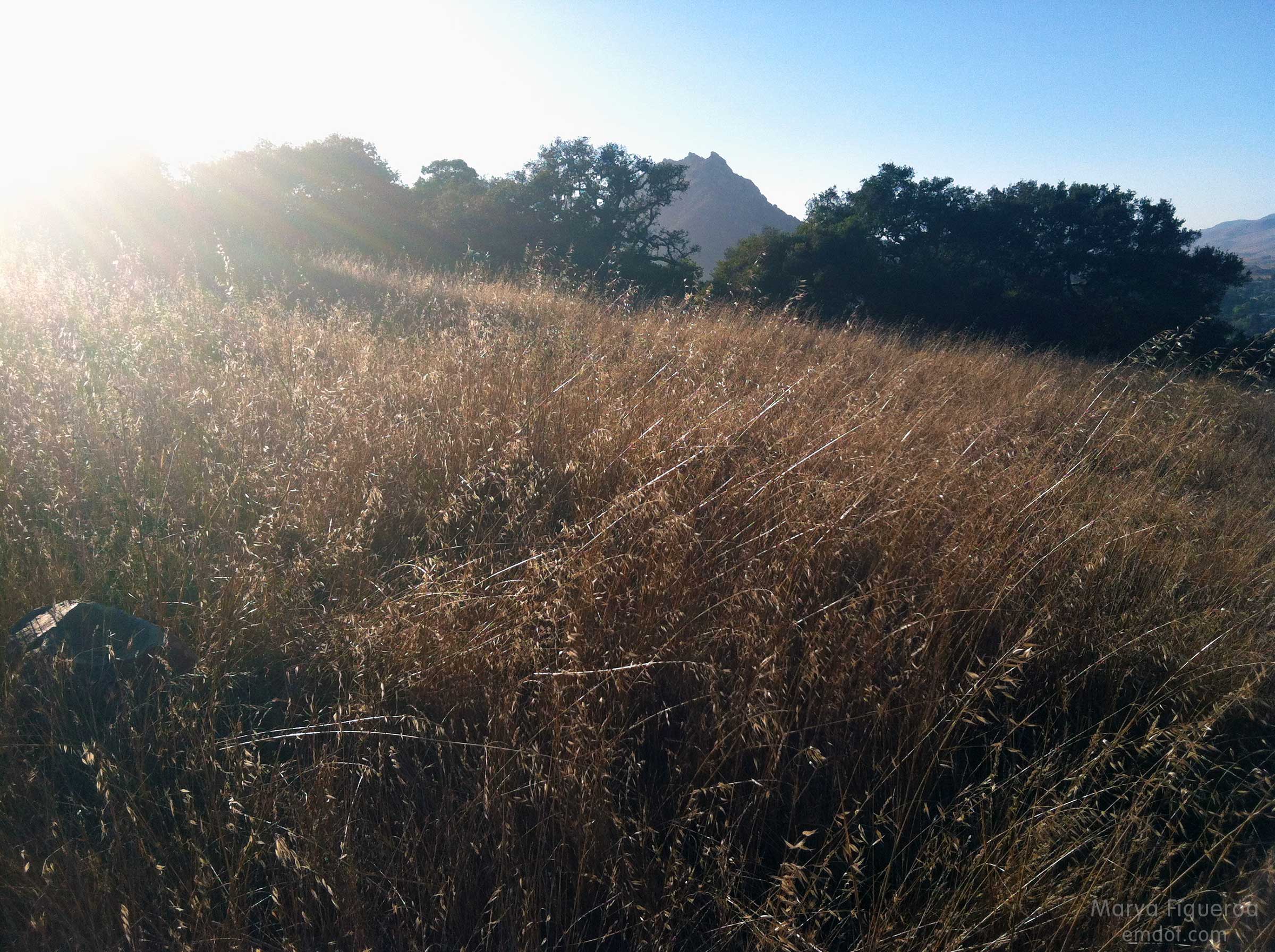
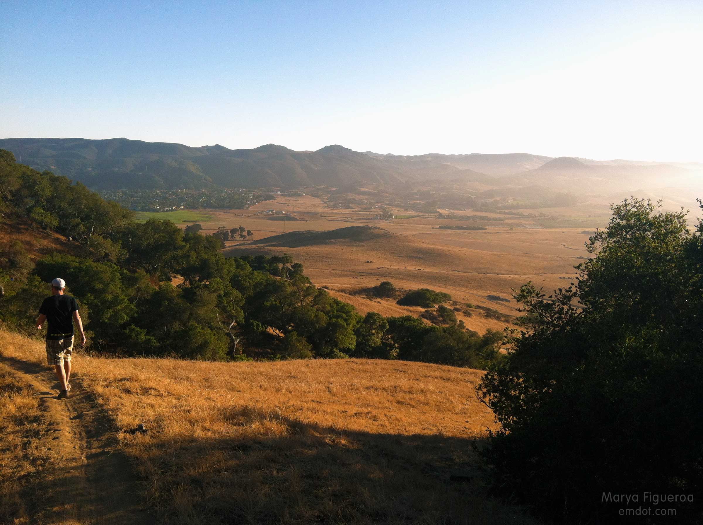
You can see the tower above (ahead of Steve in the photo) from all parts of town. It’s a directional marker for me (as are the cerros on the other side). Always easy to know what direction you are headed in SLO by your proximity to cerros and hillsides.
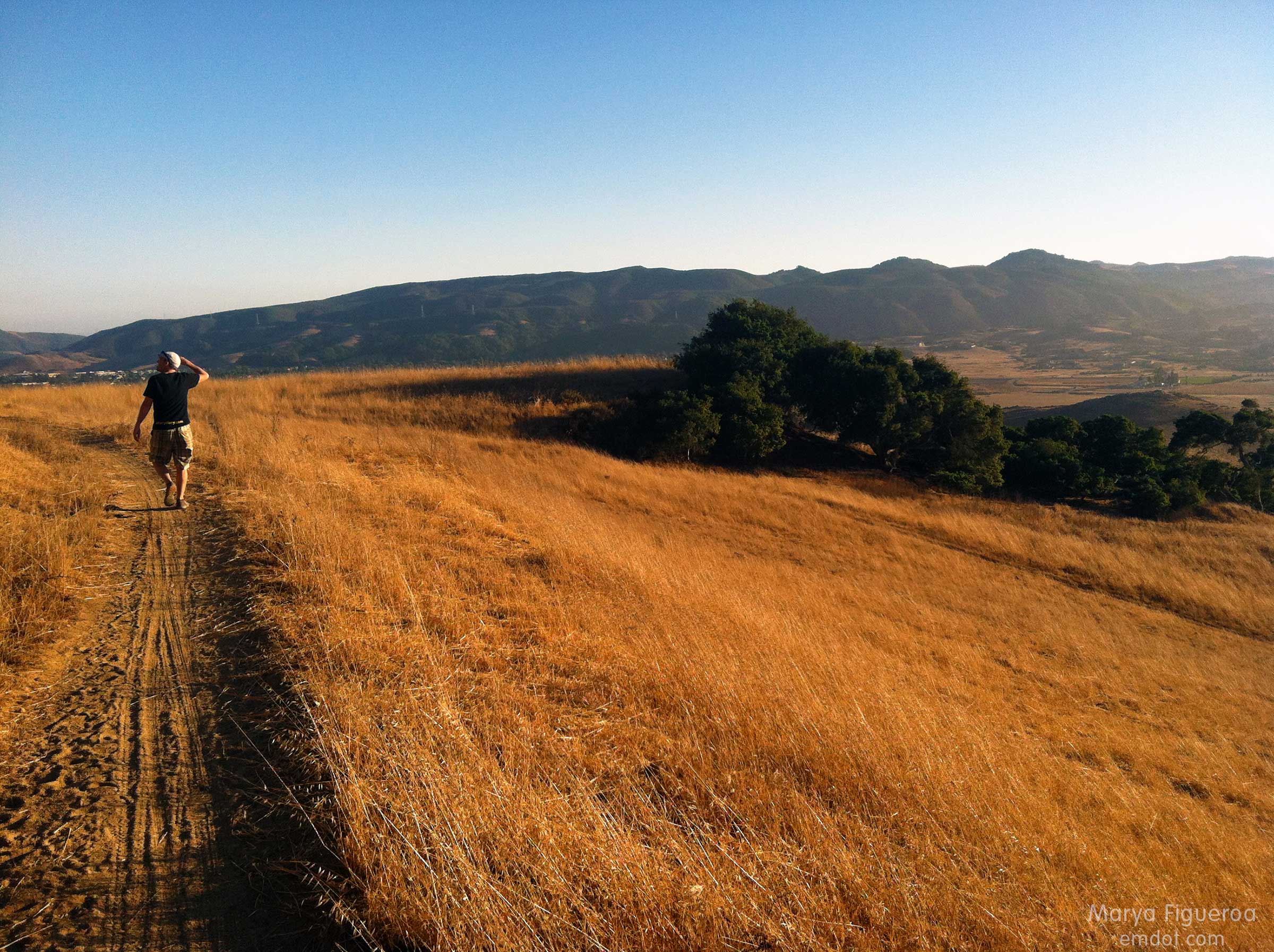
It is so brown and dry right now that it is hard to believe it was ever green or that it will ever be green again. The brown is part of the breath of the landscape. Breathe in dry. Breathe out dry. Feel the wind. Watch dust kick up from your shoes. See the brittle grasses around you. It is the season of parch, surely to never end.
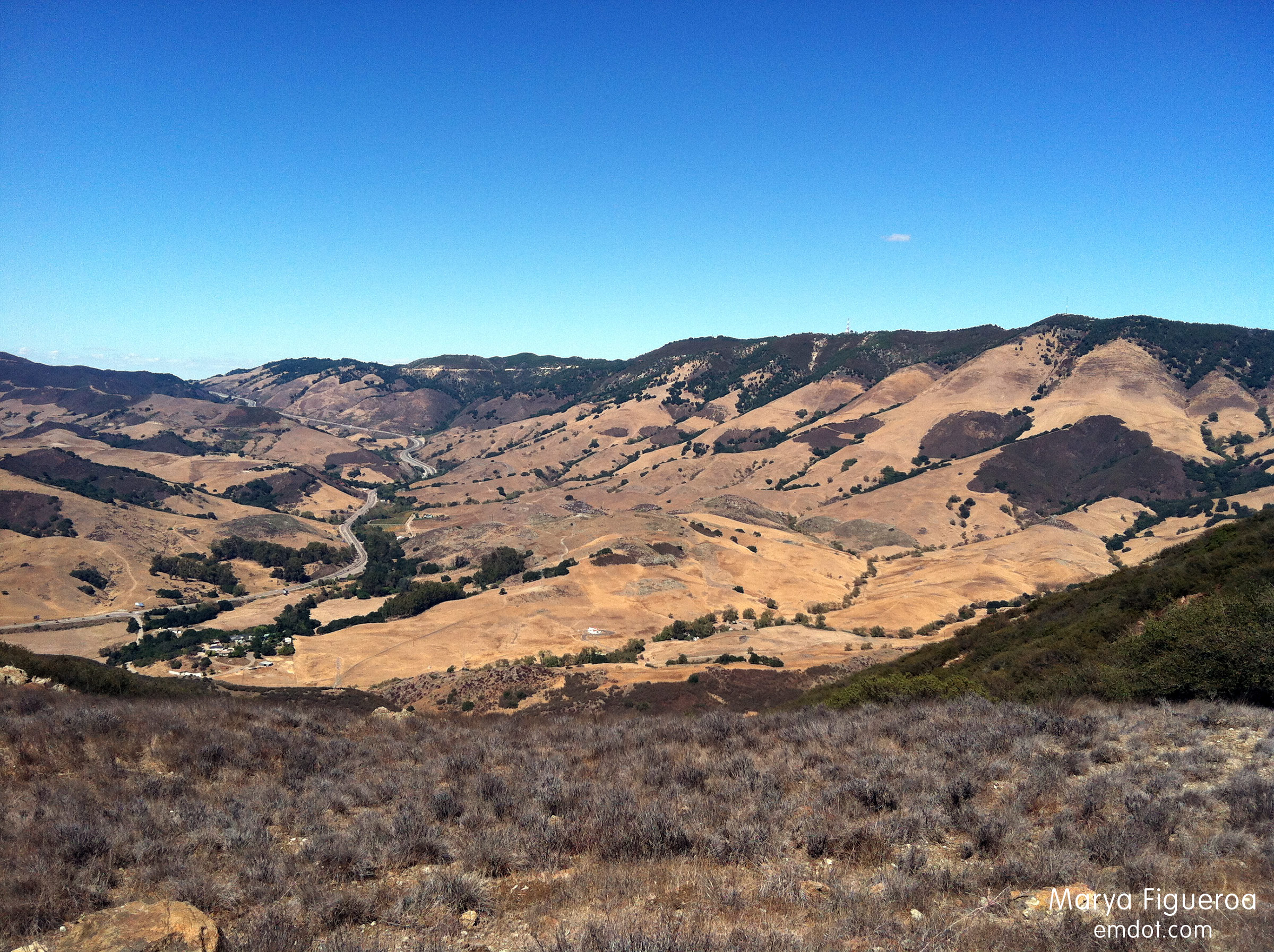
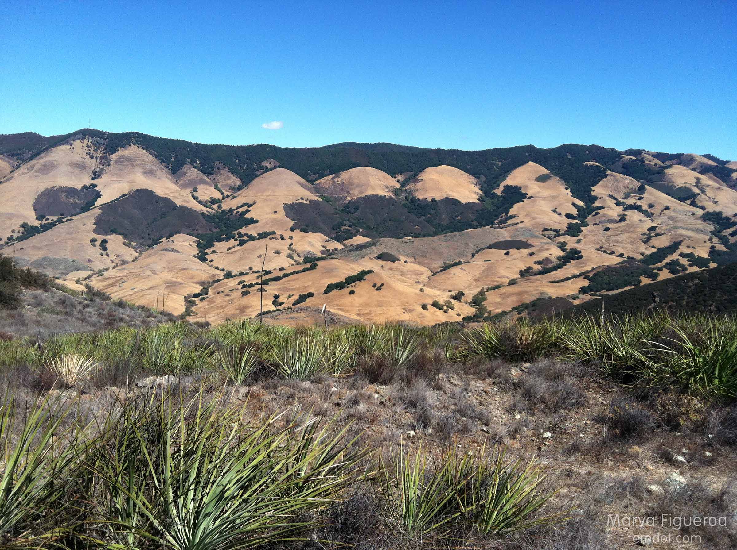
The meandering line in the middle left of the photo above is highway 101, snaking up the Cuesta Grade. Leaving San Luis and heading to North County. Or descending from North County, heading for a cooler clime, depending on your perspective.
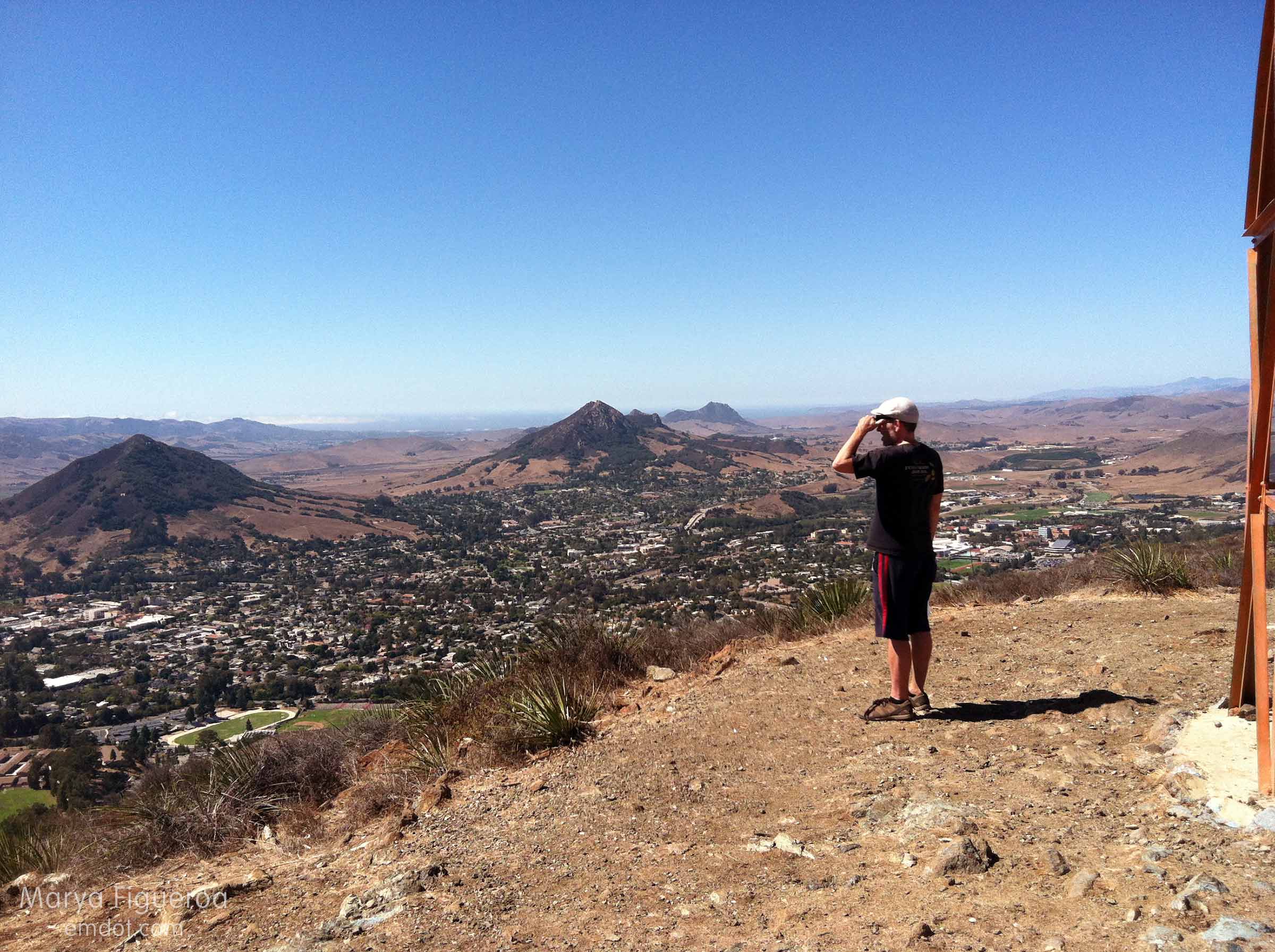
From the top of Prospects you can see to the top of the grade when looking east, or you can see to the oceans if looking west. Both Pismo Beach and Morro Bay are visible. The cerros above march to Morro Rock (and you can see a line of white fog covering Los Osos as it is legally required to do.).
The hike itself is not long, just steep. I enjoyed it so much more than previous experiences (new trail, you paid off.). Bring some water and maybe some binoculars to take in the ocean views or to find your house down in the valley or to appreciate the wayward buck or bird.
Tanbark Trail
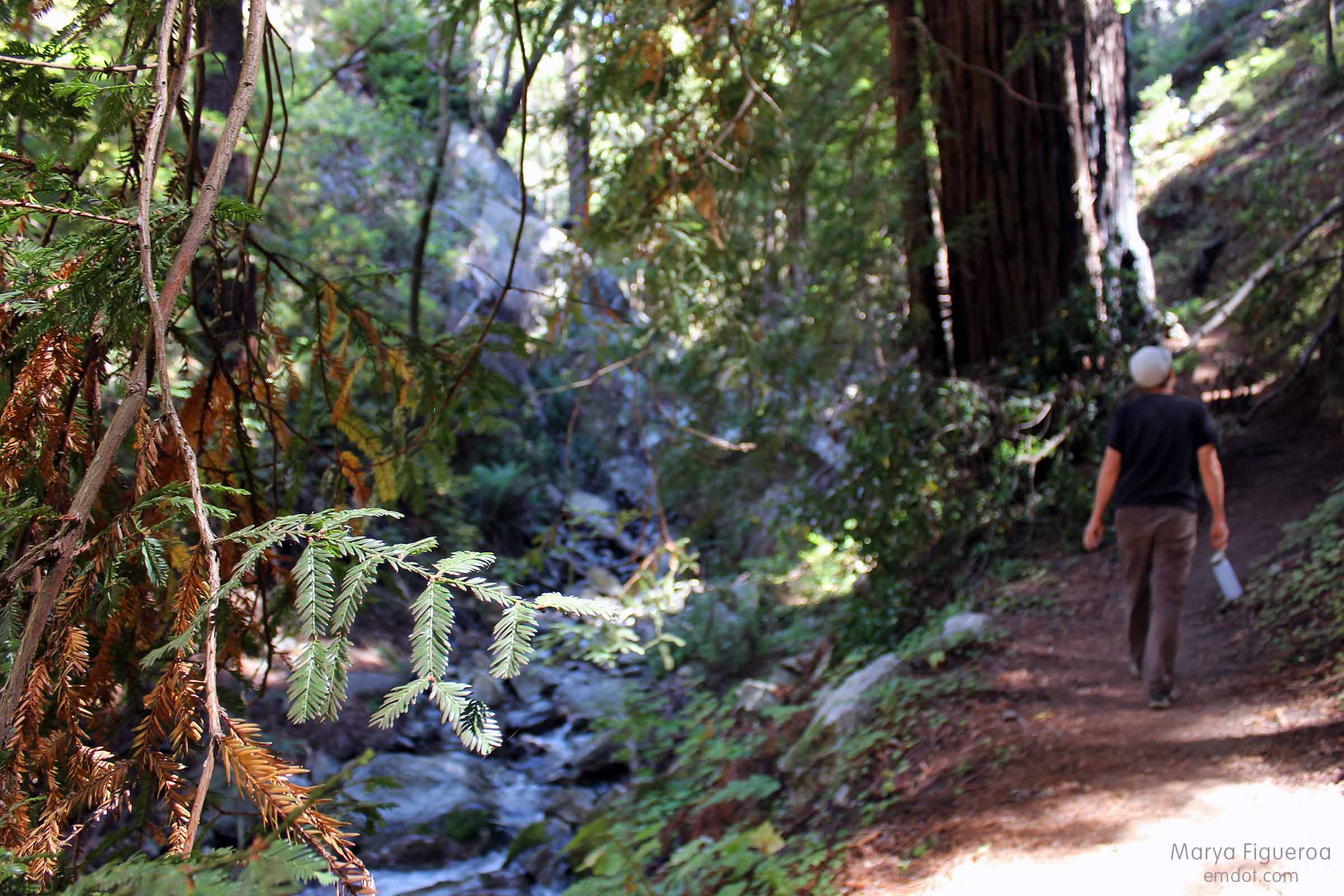
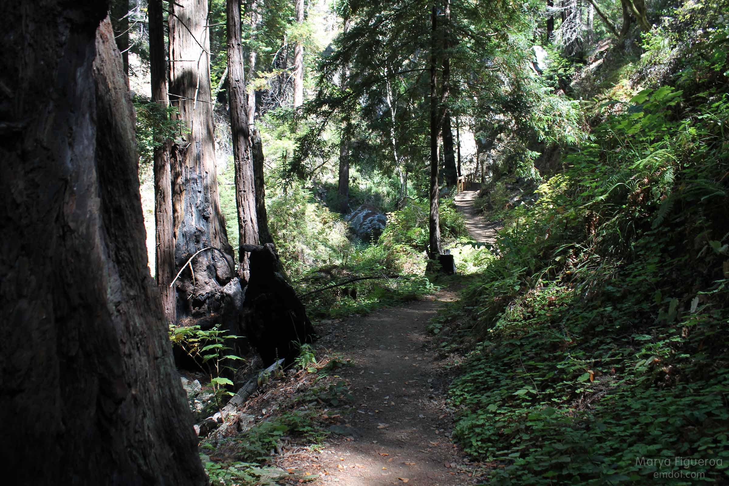
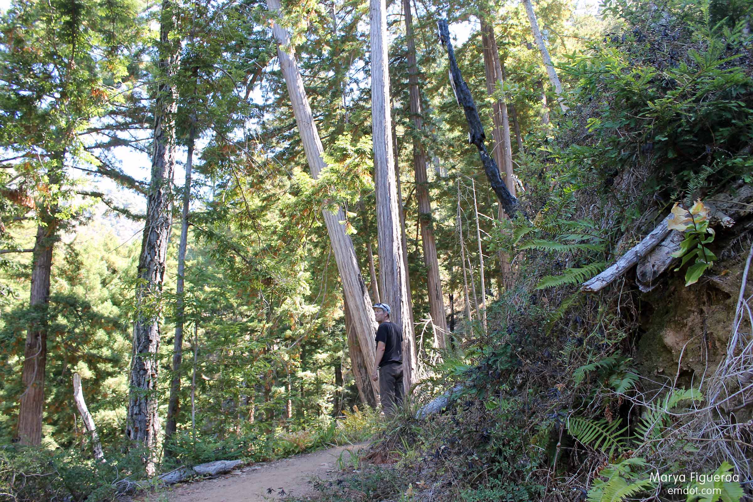
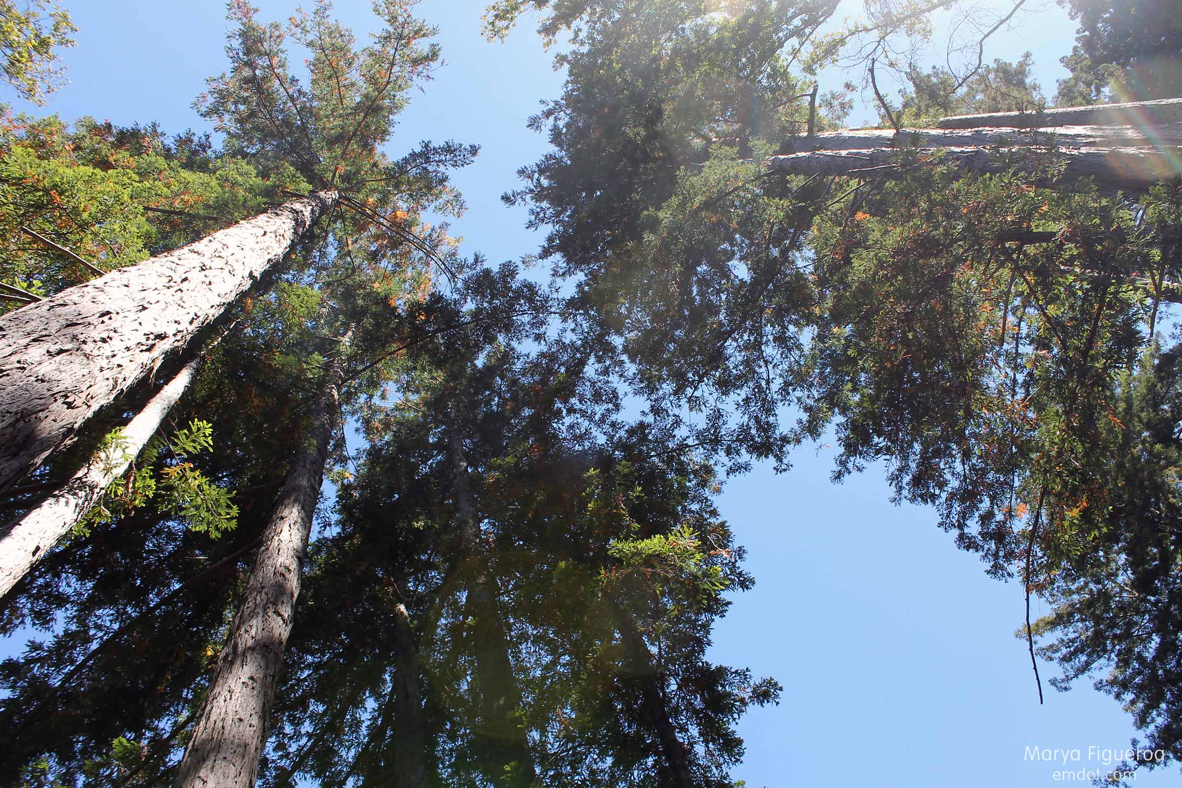
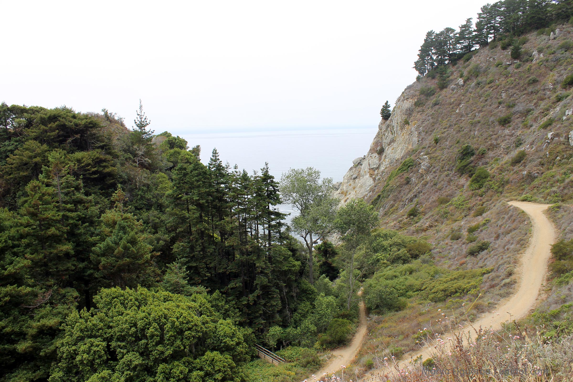
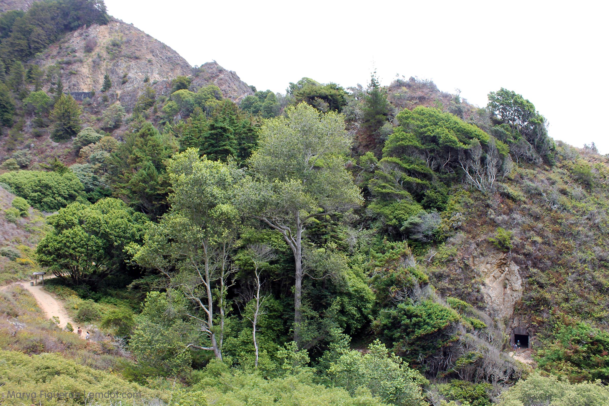
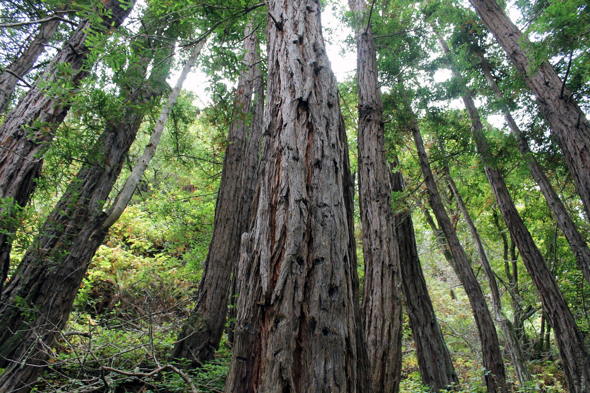
Week 24. Wednesday, August 28, 2013. The Tanbark Trail is a canyon hike, starting squarely in a redwood forest. It begins along a river (creek, really) and coaxes you up a hillside via redwood bordered switchbacks.
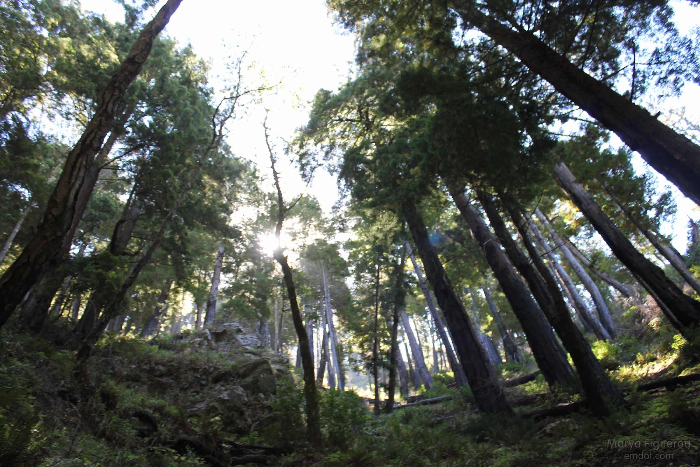
The forest is thick and the trees are tall here, keeping it cool. Also, everything smells delicious — fresh and clean.
While we know Big Sur is populated with many different animals and birds, this may have been Woodpecker Wednesday. They were everywhere: in the trees, in the sky, making calls, and hammering on tree trunks. A woodpecker’s paradise.
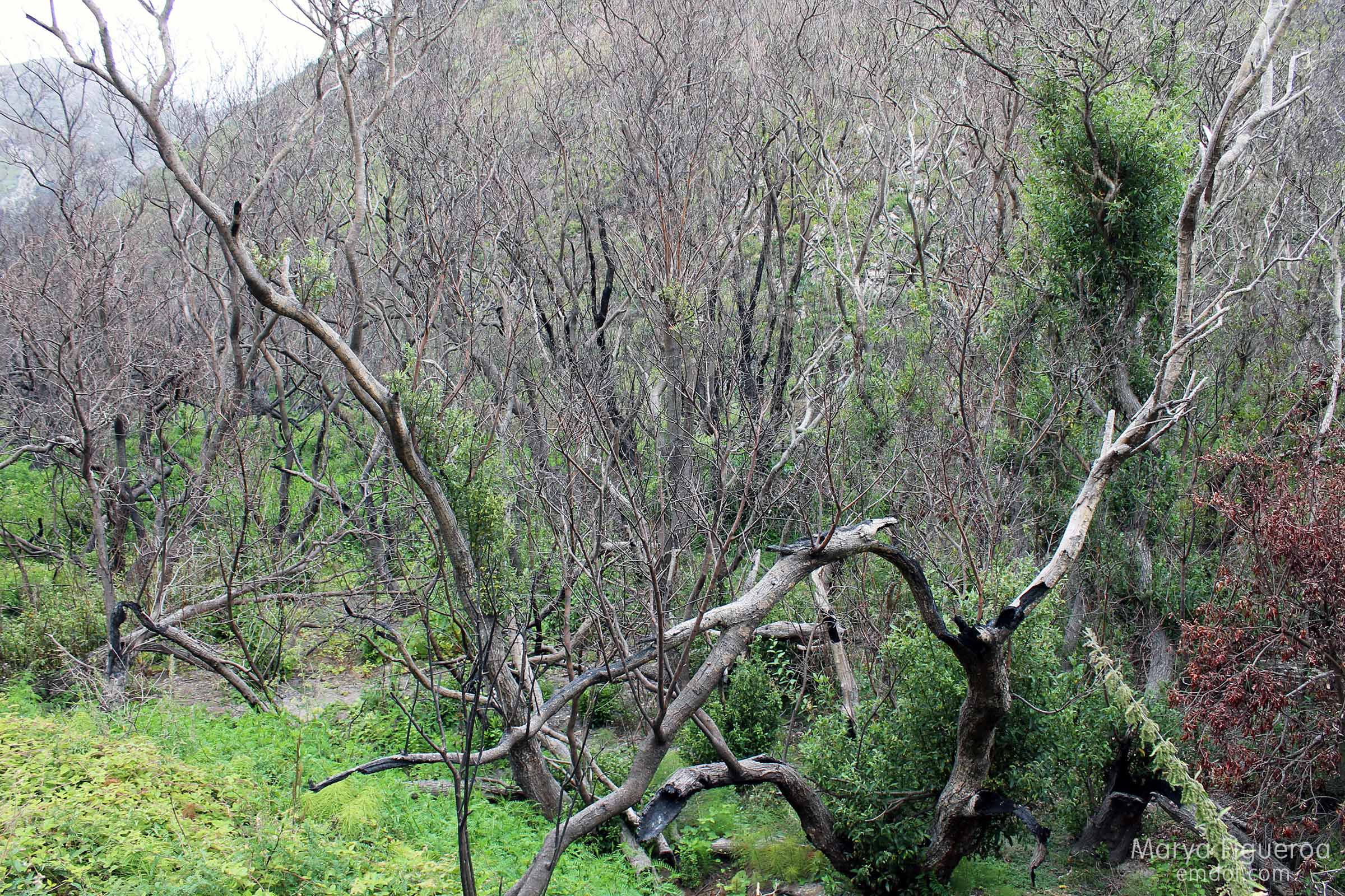
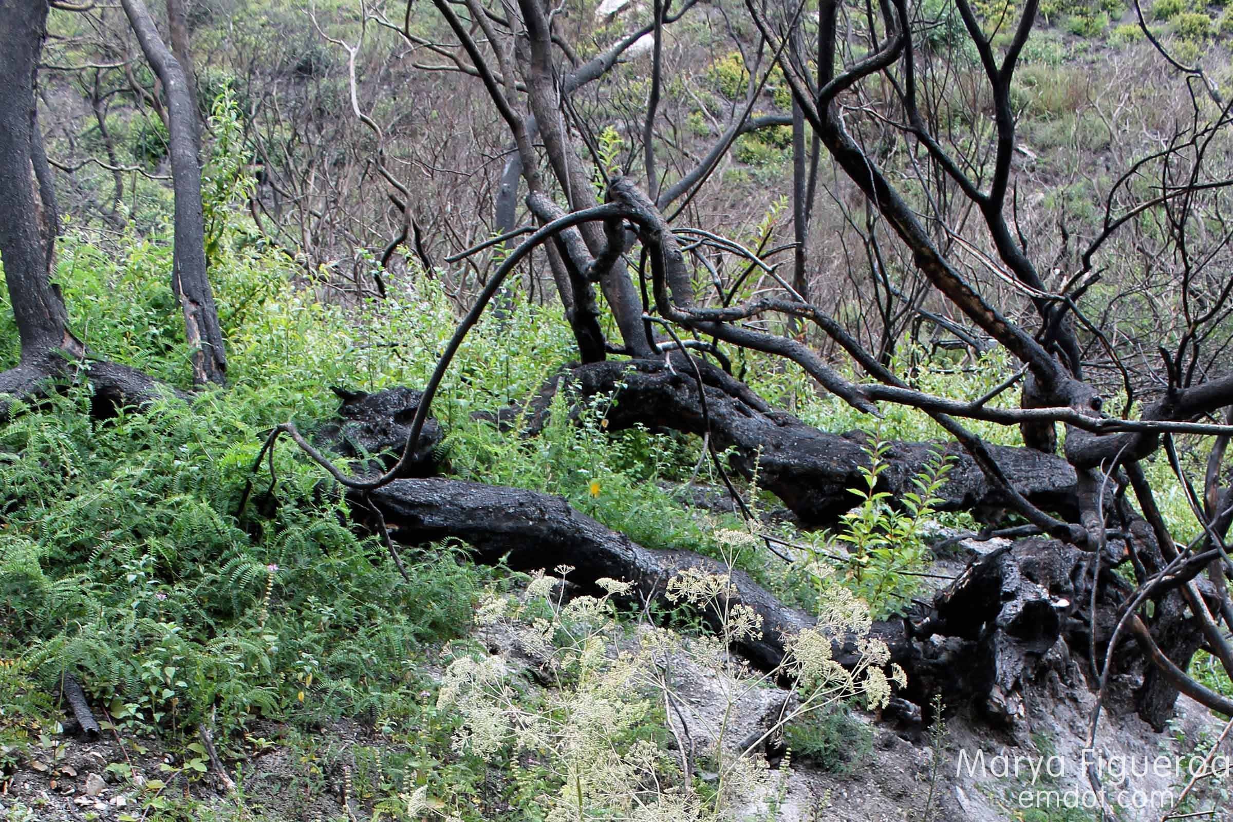
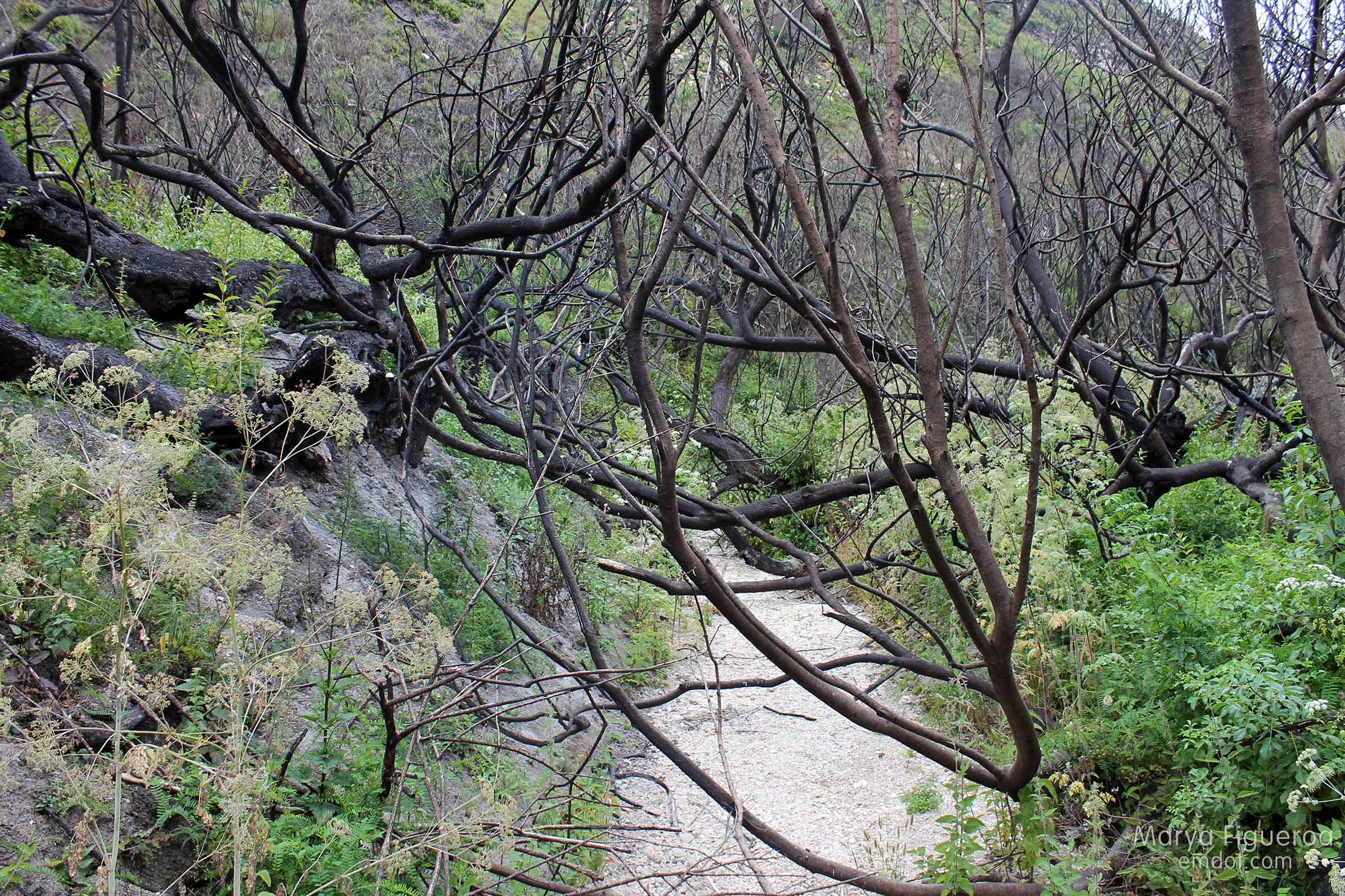
The first half of the hike is dominated by the redwoods, but the trail itself is named after the tanbark oak tree. Not “really” an oak, at the turn of the 19th century the bark was used to tan animal hides and this canyon was harvested for it.
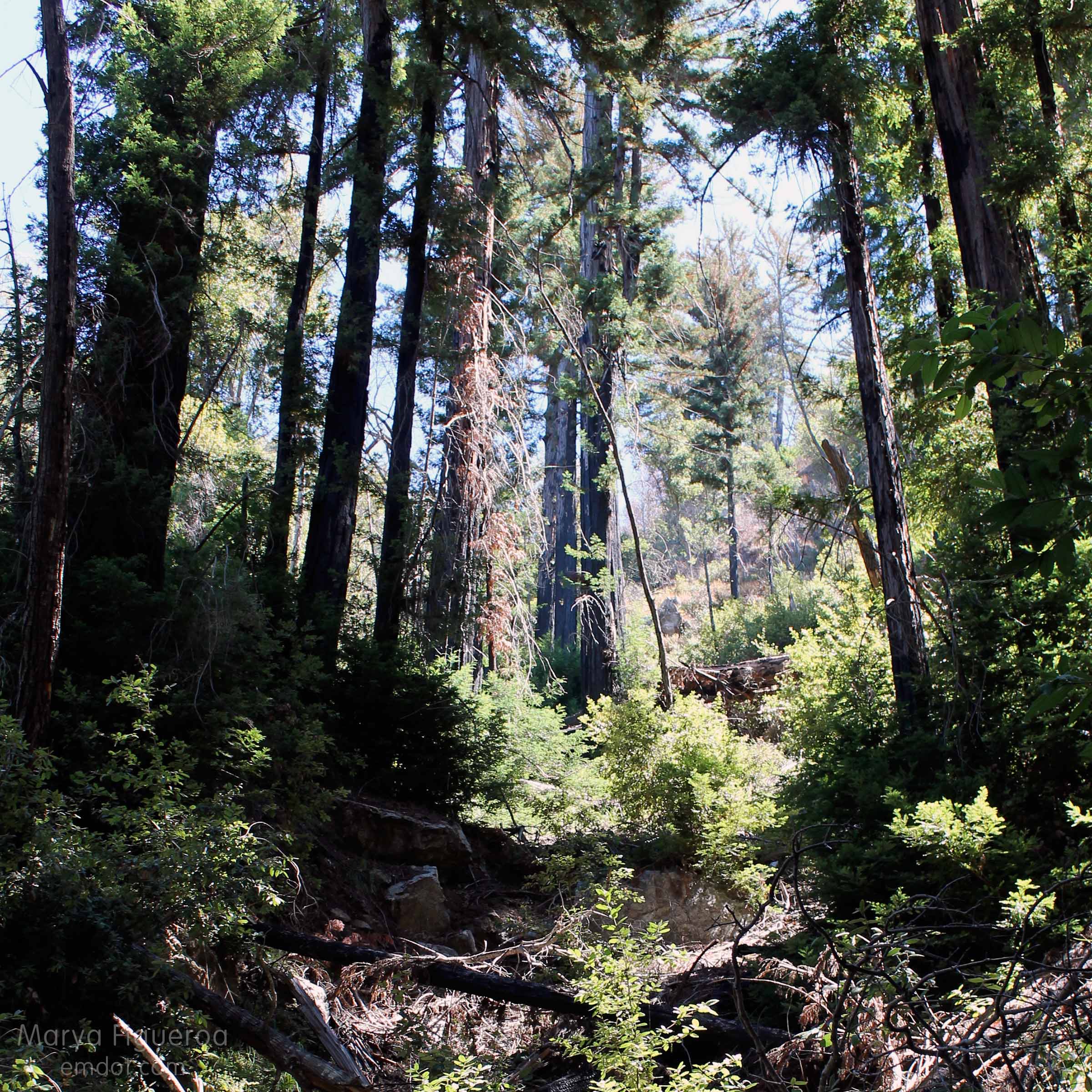
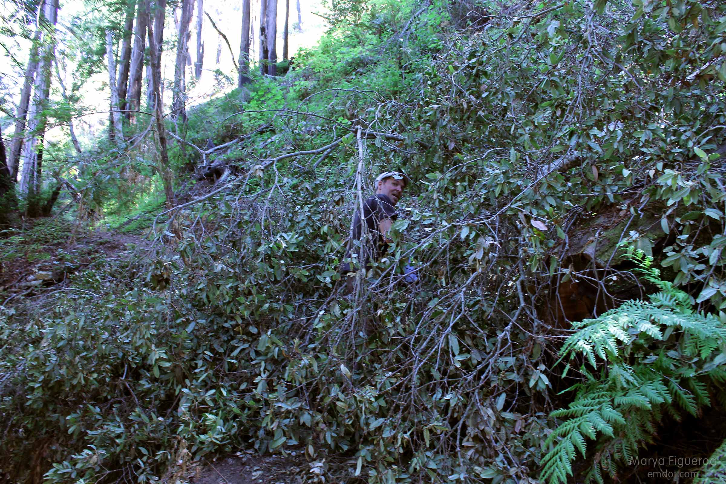
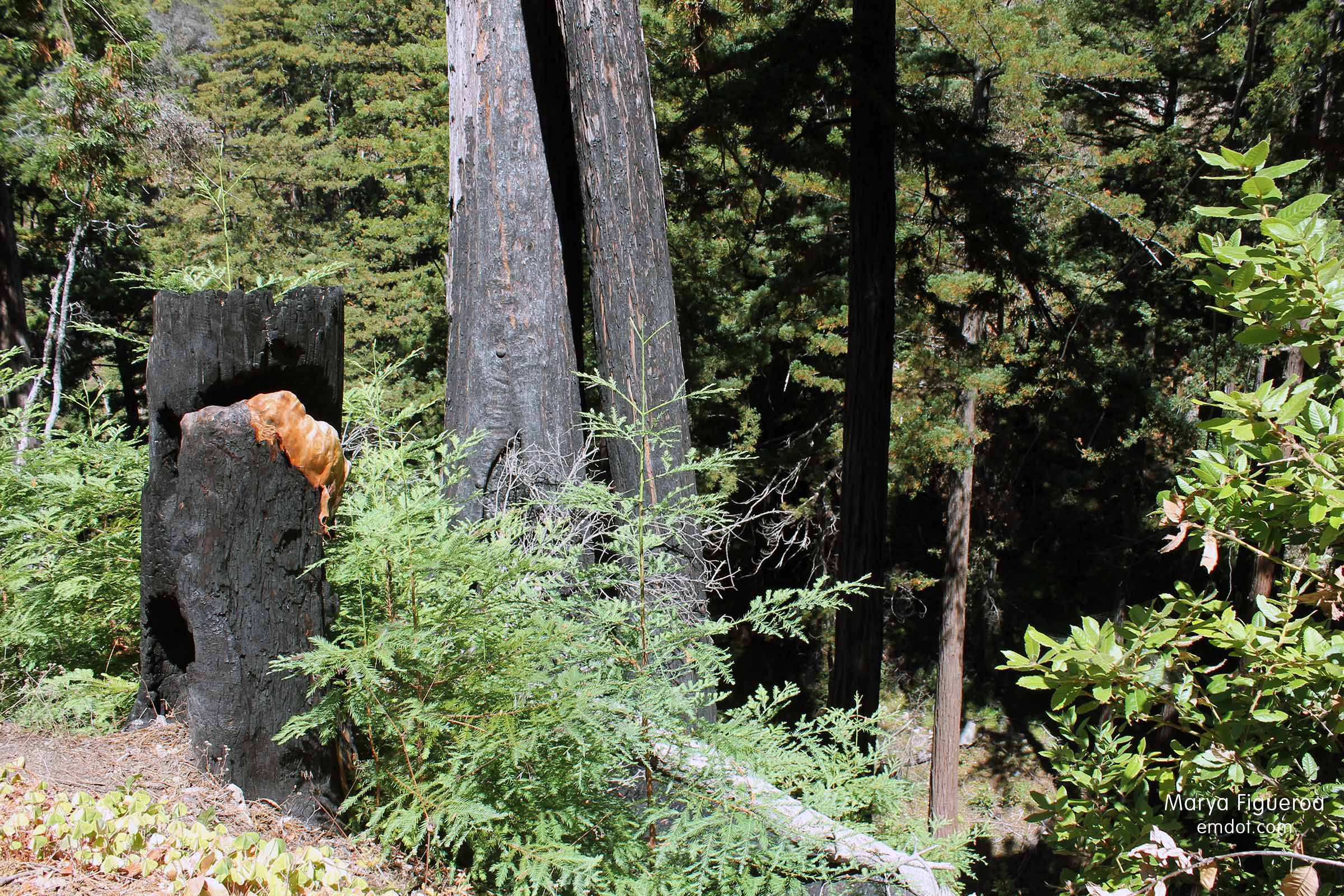
These days the tanbark oaks are ailing. A disease called Sudden Oak Death has ravaged this canyon (and long stretches of California). While the trail is (mostly) well maintained, downed oak after downed oak create an obstacle course of sorts.
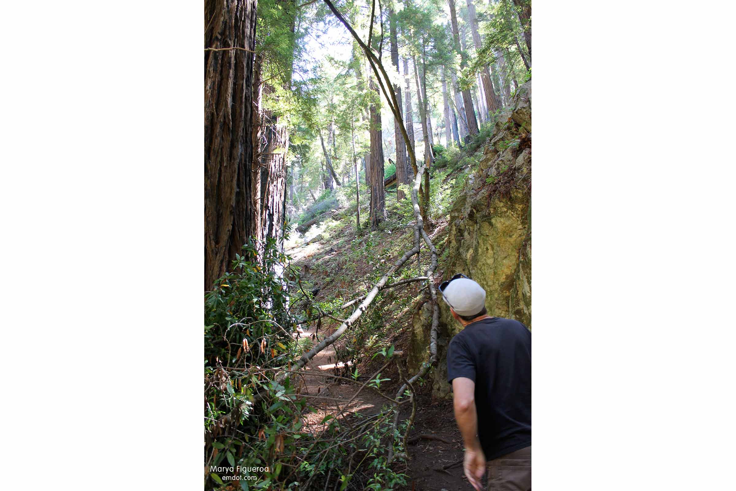
We went under fallen oaks and we went over them. Most of the time I tried to not think of the very real problem facing the trees and forest. Here’s hoping the scientists find a cure soon.
We stopped many times along the trail, both to catch our breath and take in the environment, which requires looking up as much as looking out.
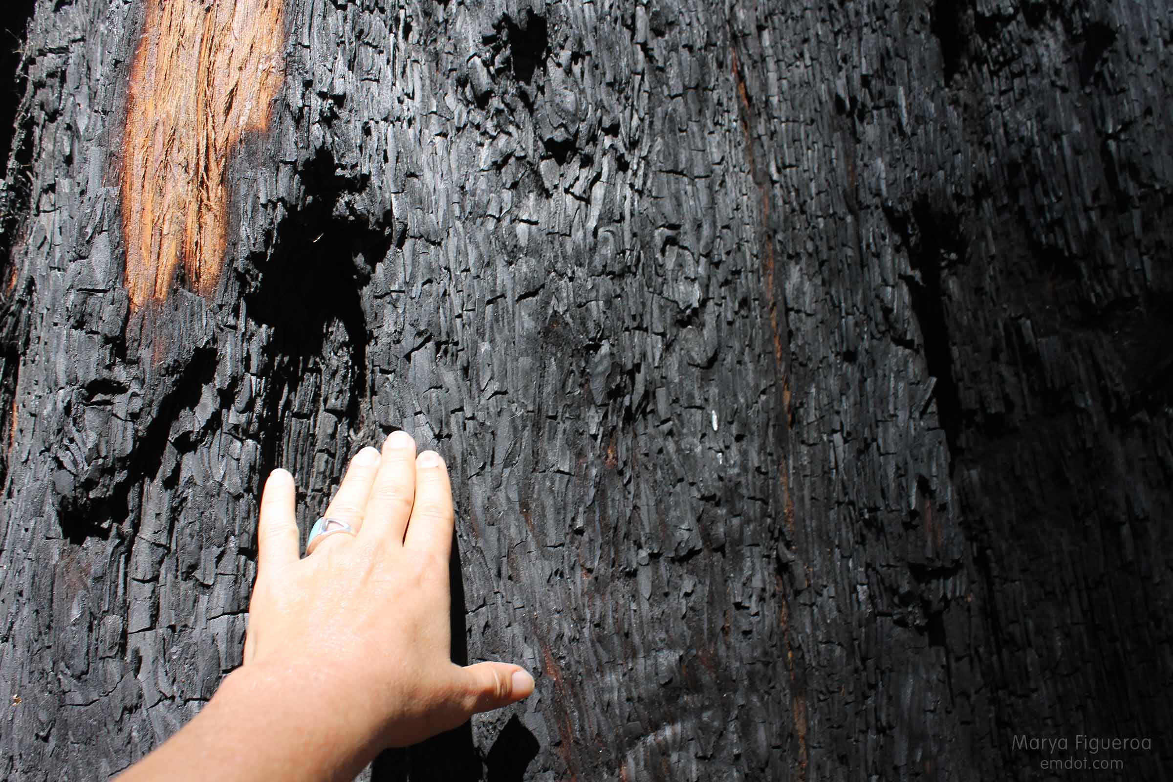
Blackened trees, blackened tree bears and the blackened Tin House
The hike was long and rich. I found myself with a ton of photos. I knew I couldn’t fit everything into one blog post so I created a few special blog posts (which I call “asides and besides”):
- The burned coast redwoods from the 2008 Basin Complex Fire
- The optical bear illusions I kept seeing
- The Tin House
The walk down
Where most of the walk up is under a lush canopy of redwoods, the walk down is along an exposed dusty fire road. When you read that word dusty I want you to read it as DUSTY because I have never been so filthy dirty after a hike in my life and it was mostly due to this part of the road. While the remnants of the 2008 fire are easy to see in the forest, they are harder to determine on this part of the trail, but it’s all there in the form of ash. The ash is part of the soil, part of the path and the path is thick with dust.
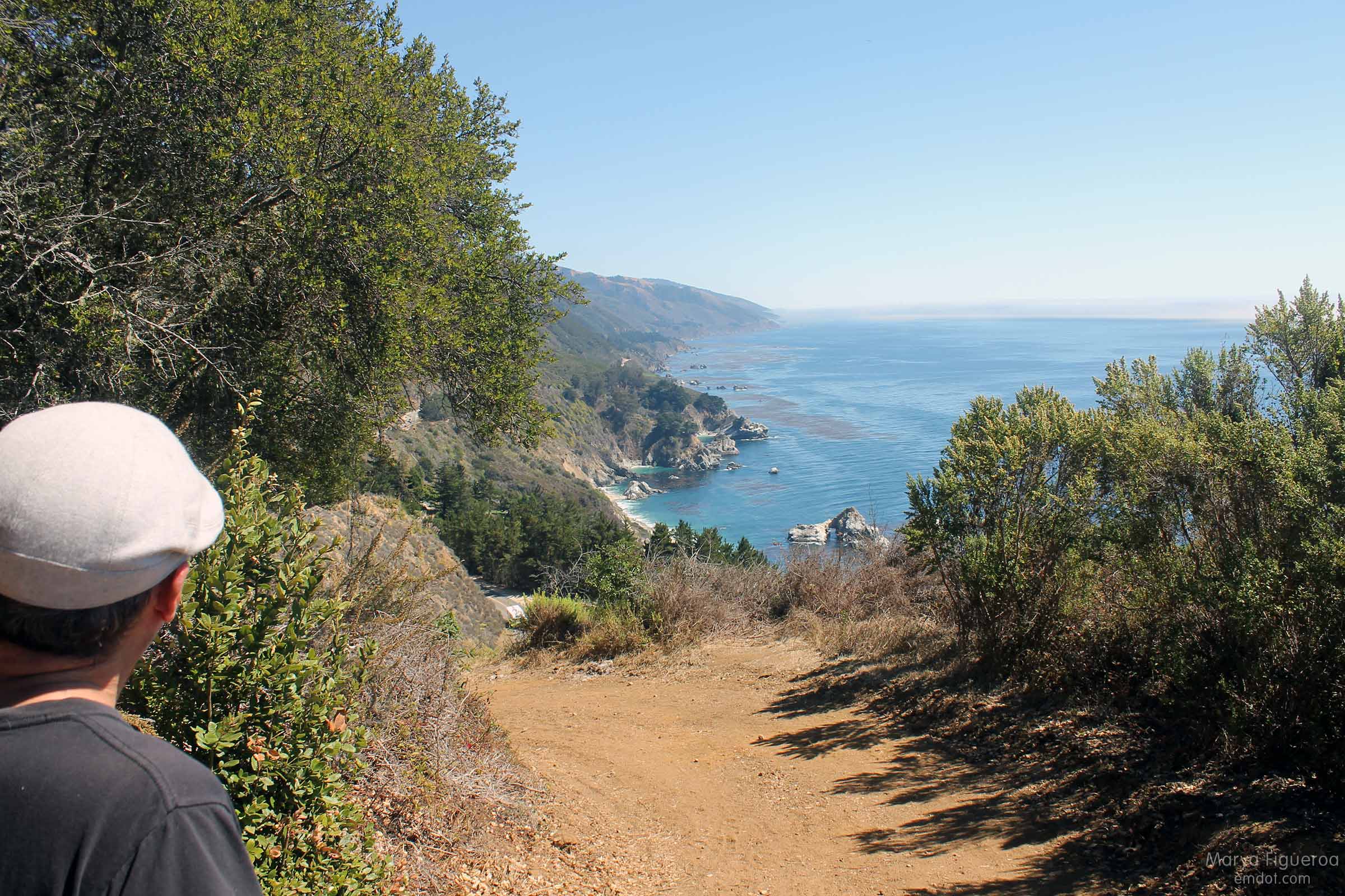
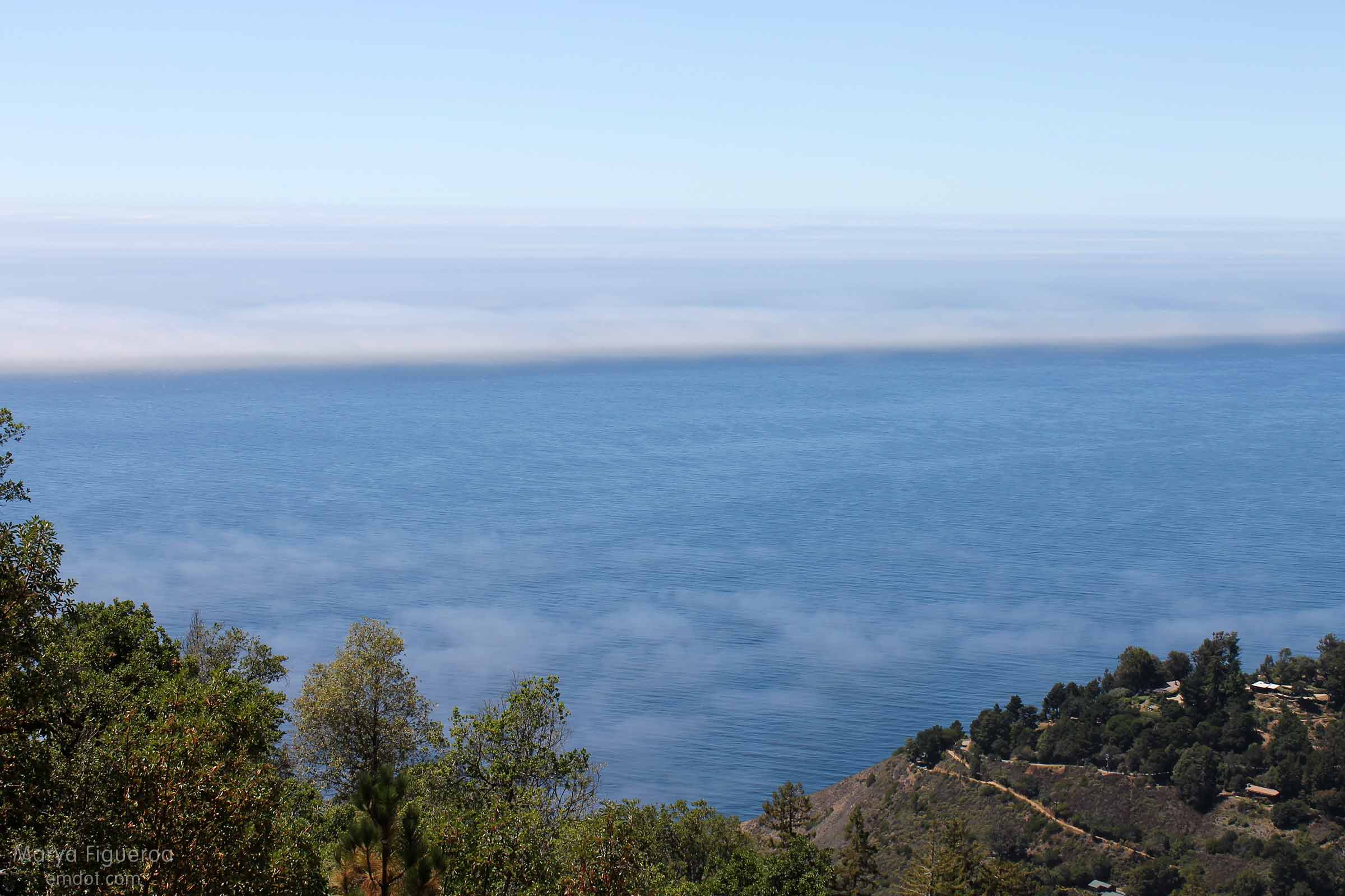
The positive side is that it also offers rich views of the pacific coast, including the McWay Falls cove.
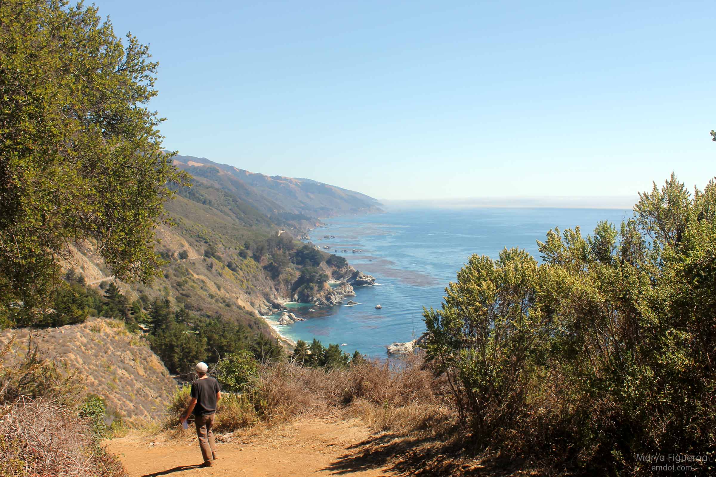
The ocean here spans many shades of blue. Luscious, gorgeous, beautiful.
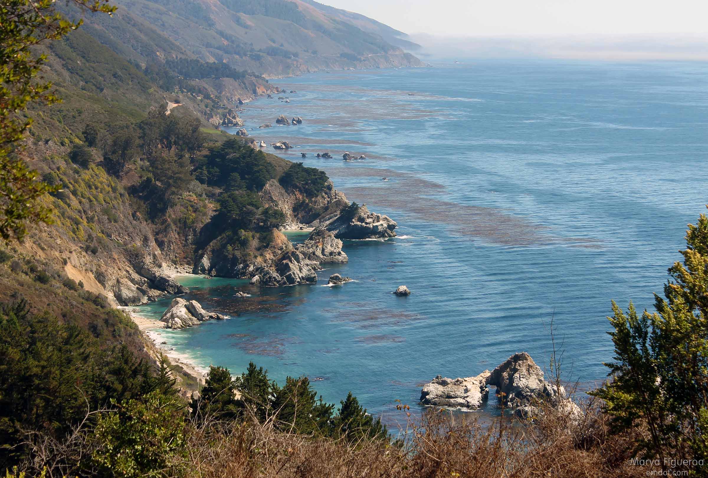
A fantasy scene. We also could see the whales way off in the distance: water spouts and at times a fluke. All worth the hot blazing sun and deep, penetrating dust.
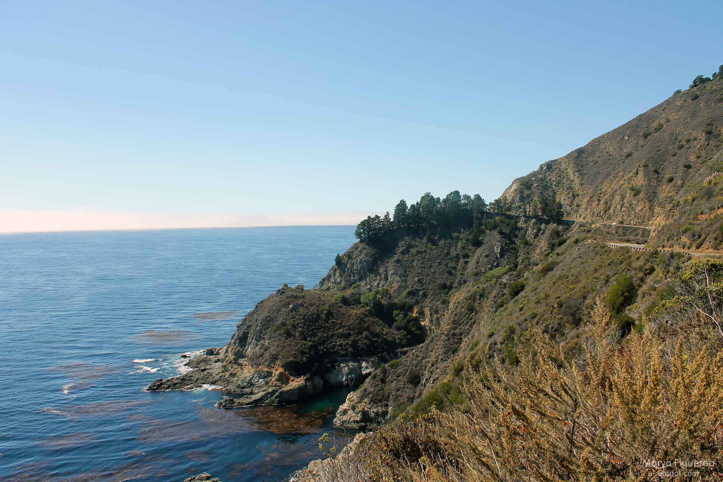
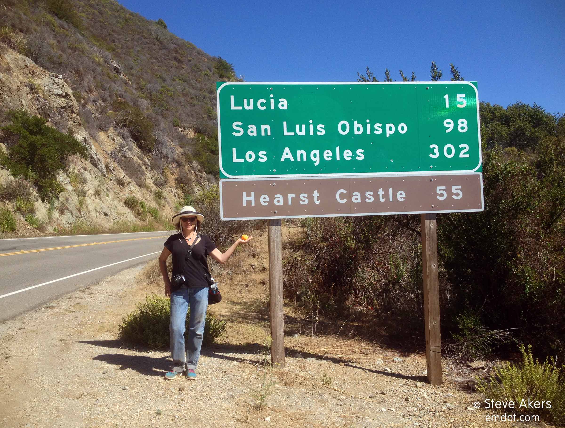
Walking back to the car on Highway 1
The last mile of the hike is on Highway 1 itself. This is dangerous. Here is my advice: walk against traffic and stay off the road as much as possible. Common sense I know, but at times there is barely a shoulder — there’s barely a neck. It’s better to walk in the weeds than on the road, so just get yourself over and make it quick. You will experience at least one blind curve. Be careful.
And talk to strangers. We met David on the side of the road where he had been painting all day.
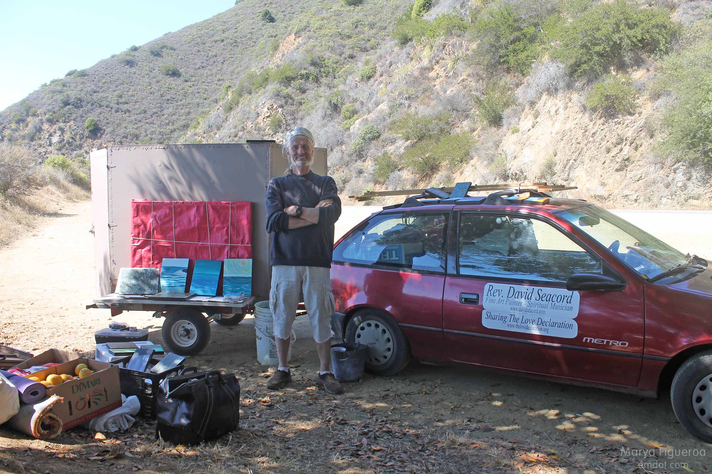
He reminded me of Greg Junell, an old friend who passed away from lymphoma just a year before. David greeted us with a big smile and showed us his paintings and gave us each an orange for our walk back to the car.
When we finally did make it back to the car we were glad for some provisions on hand. We knew we might meet poison oak, so we wore pants for the hike but brought shorts to change into afterwards (and this is where we saw, despite wearing heavy jeans, we had dust and dirt up past our knees). We had soap and water to wash away the dirt, lotion to make us feel fresh, and snacks and a gallon of water to refuel and replenish. Bonus points: I brought an extra hat and a pair of sandals. It’s the little things.
So far the Tanbark Trail is my favorite hike of the year. I would do it again in a heart beat. What would I do differently? It would be nice to avoid hiking Highway 1, but I can’t really see a way around that. Other than that, the hike was perfect.
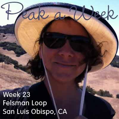
Felsman Loop with Tom
Week 23. August 25, 2013 Felsman Loop.
Tom and Cami moved away. Two of our favorite people; we were so sad to say goodbye. Luckily I got to go for a last hike with Tom before he left. We hiked the Felsman Loop, a spin off trail from Bishop Peak.
We are in the dog days of summer and all hills are brown, tan, golden, and more brown. Things feel dusty with a sense of brittleness.
Felsman doesn’t have the same vertical climb as Bishops but it is still a great hike with sweeping vistas of San Luis Obispo.
Morro Dunes Natural Preserve
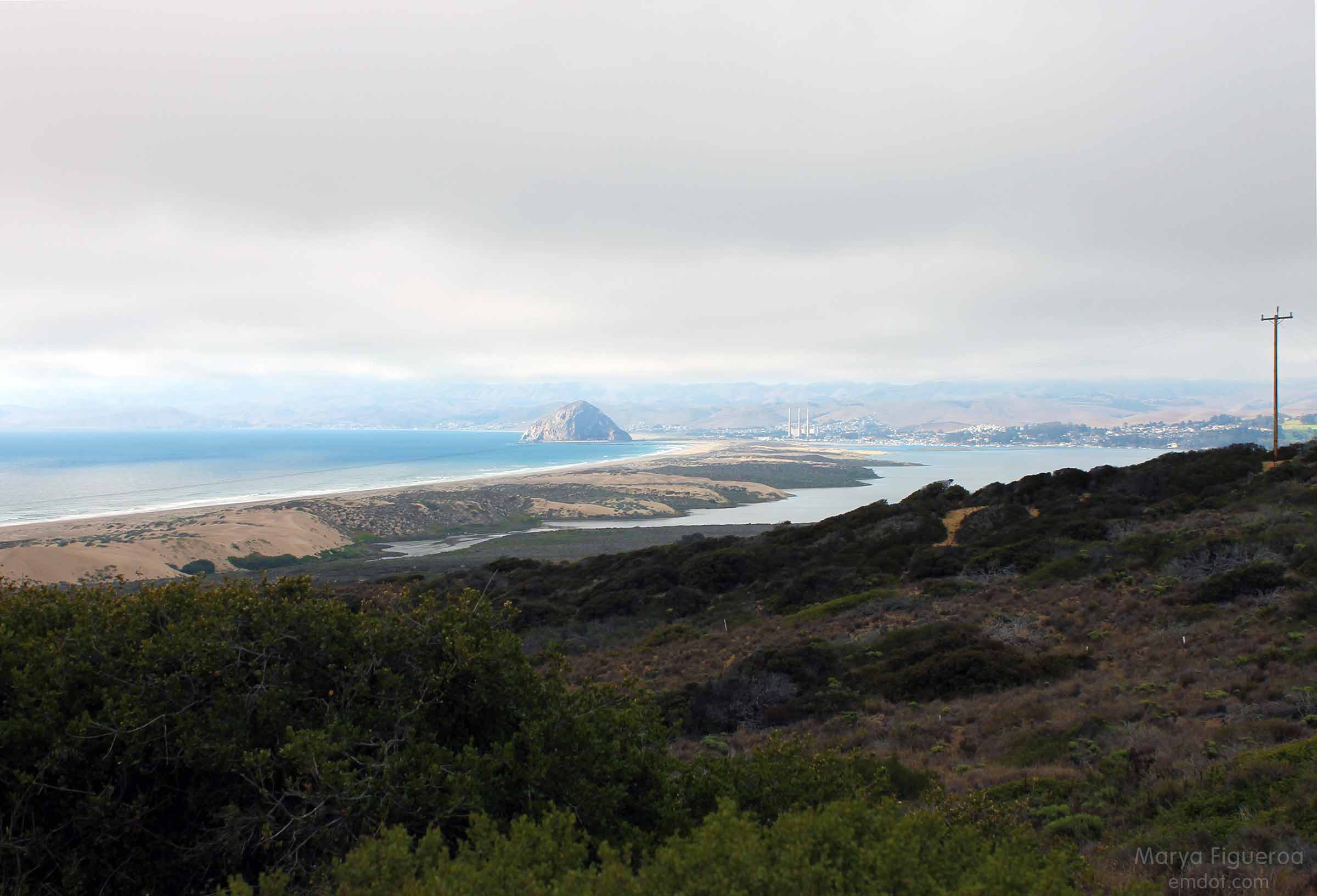
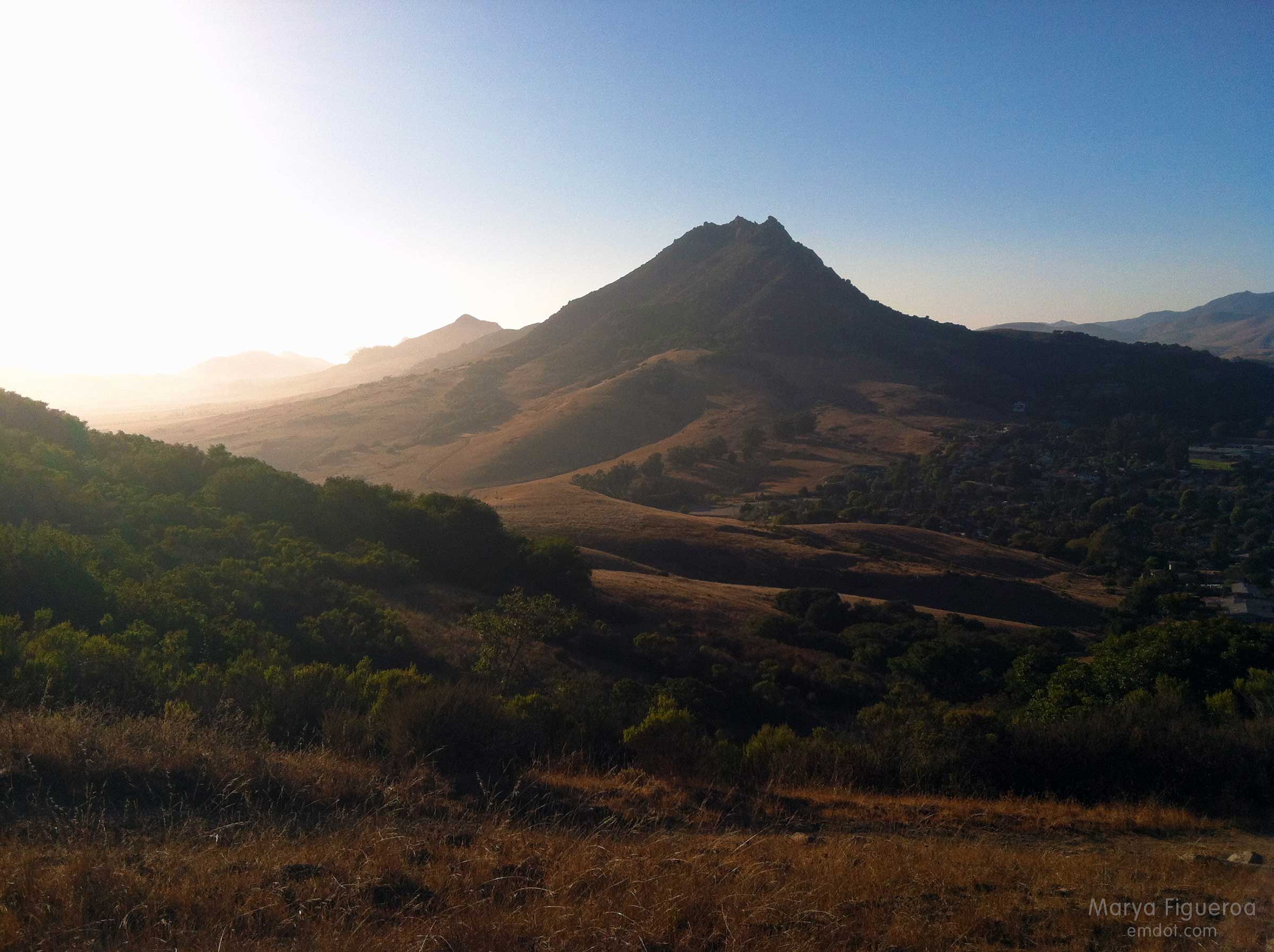
A couple of weeks ago we hiked Point Buchon at the south end of Montana de Oro. On the way home we were wowed by the view below — the long sand bar that reaches from MdO in Los Osos to Morro Rock in Morro Bay.
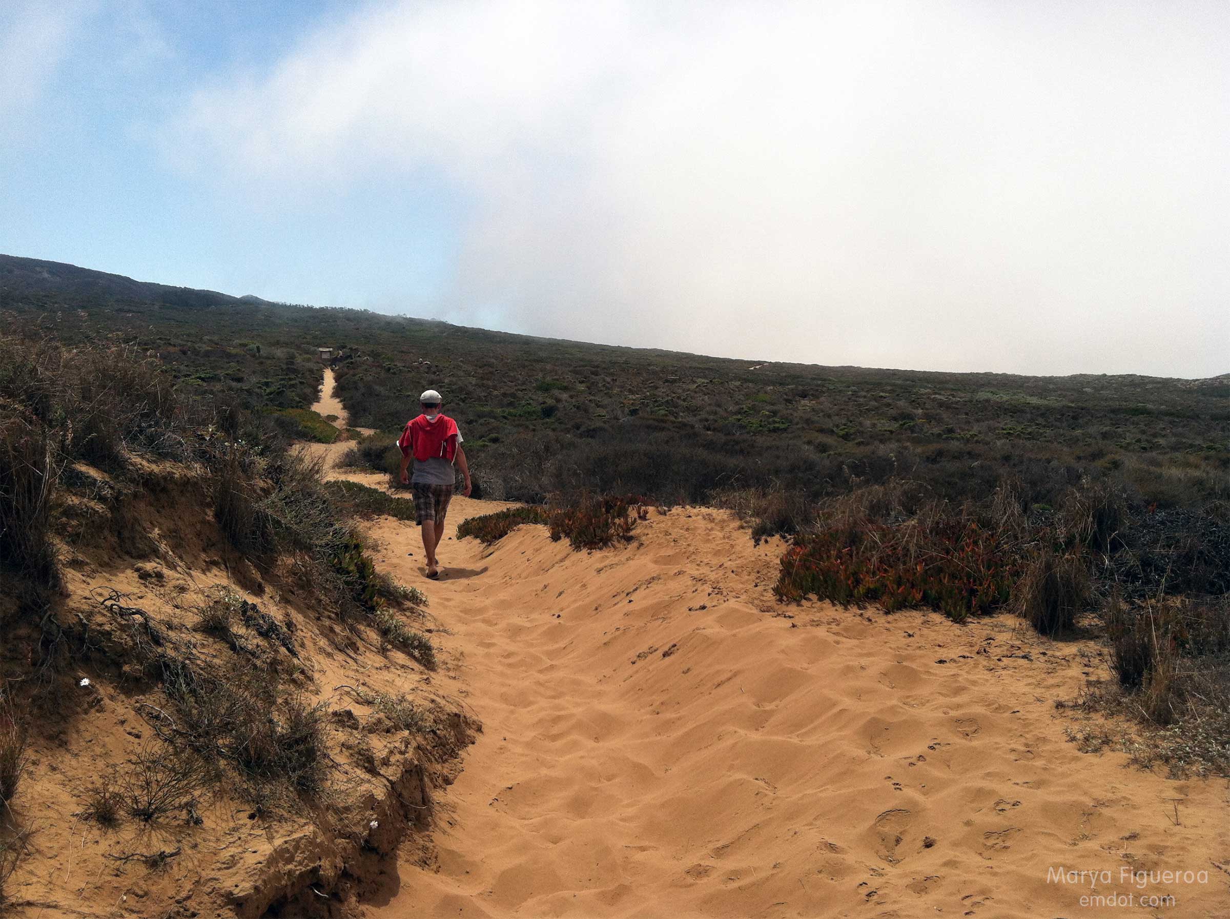
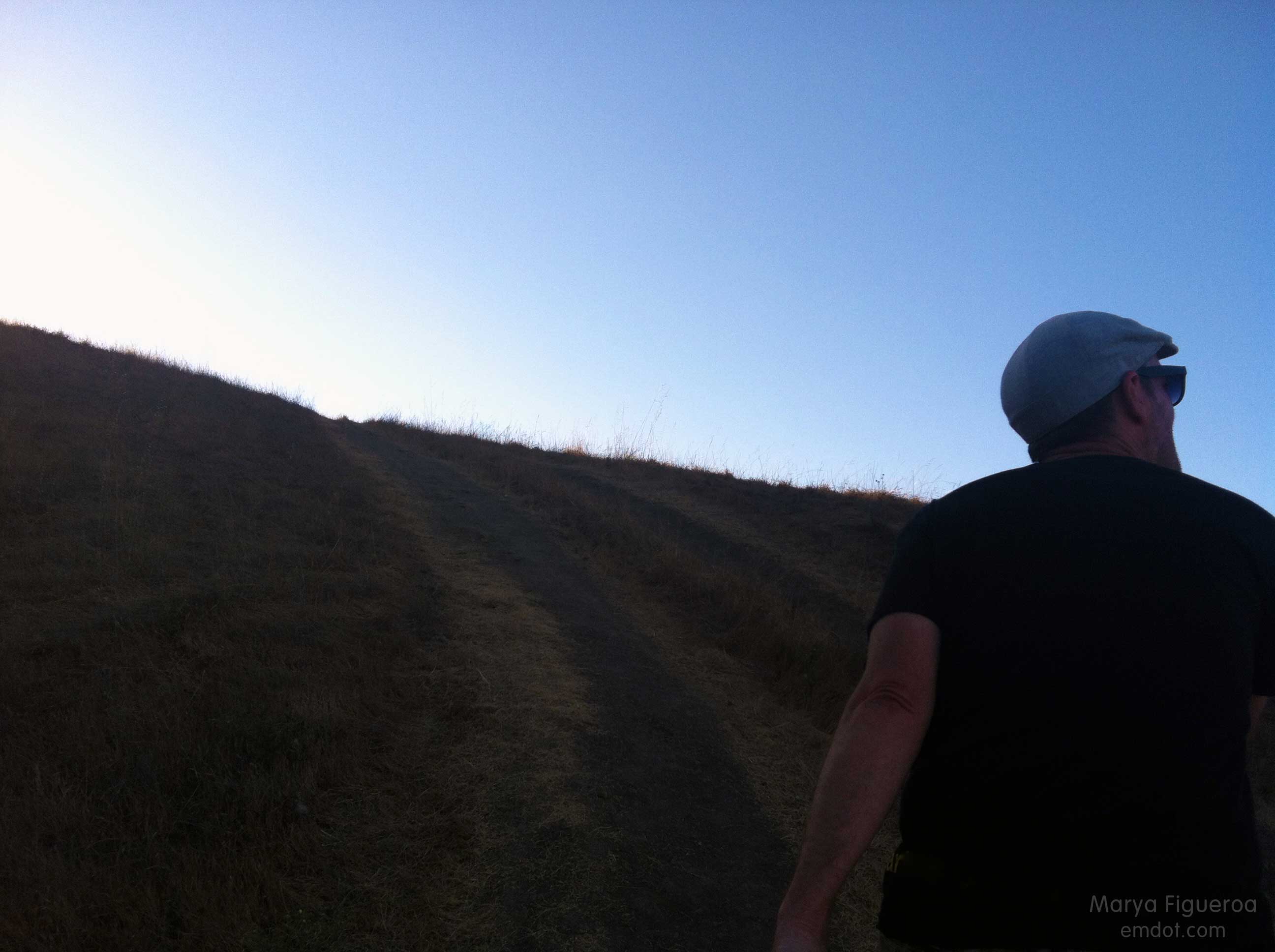
The next week Steve suggested we head out there. I thought we would do the hike that took us from Pecho Valley Road to the beach and hang out for a while. Maybe walk for a bit. I had no idea that Steve intended to walk the full length and back. I would have brought some water.
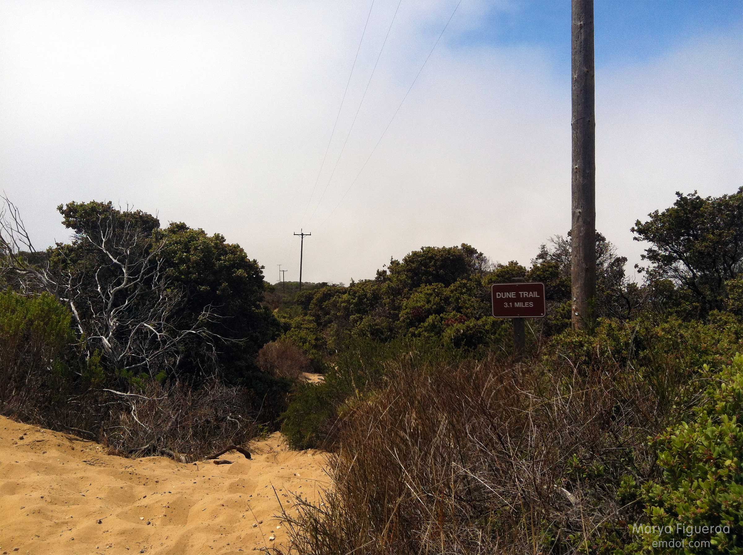
This post documents the walk from Pecho Valley Road to the beach which has several side trails (see below). We kept our momentum westward.
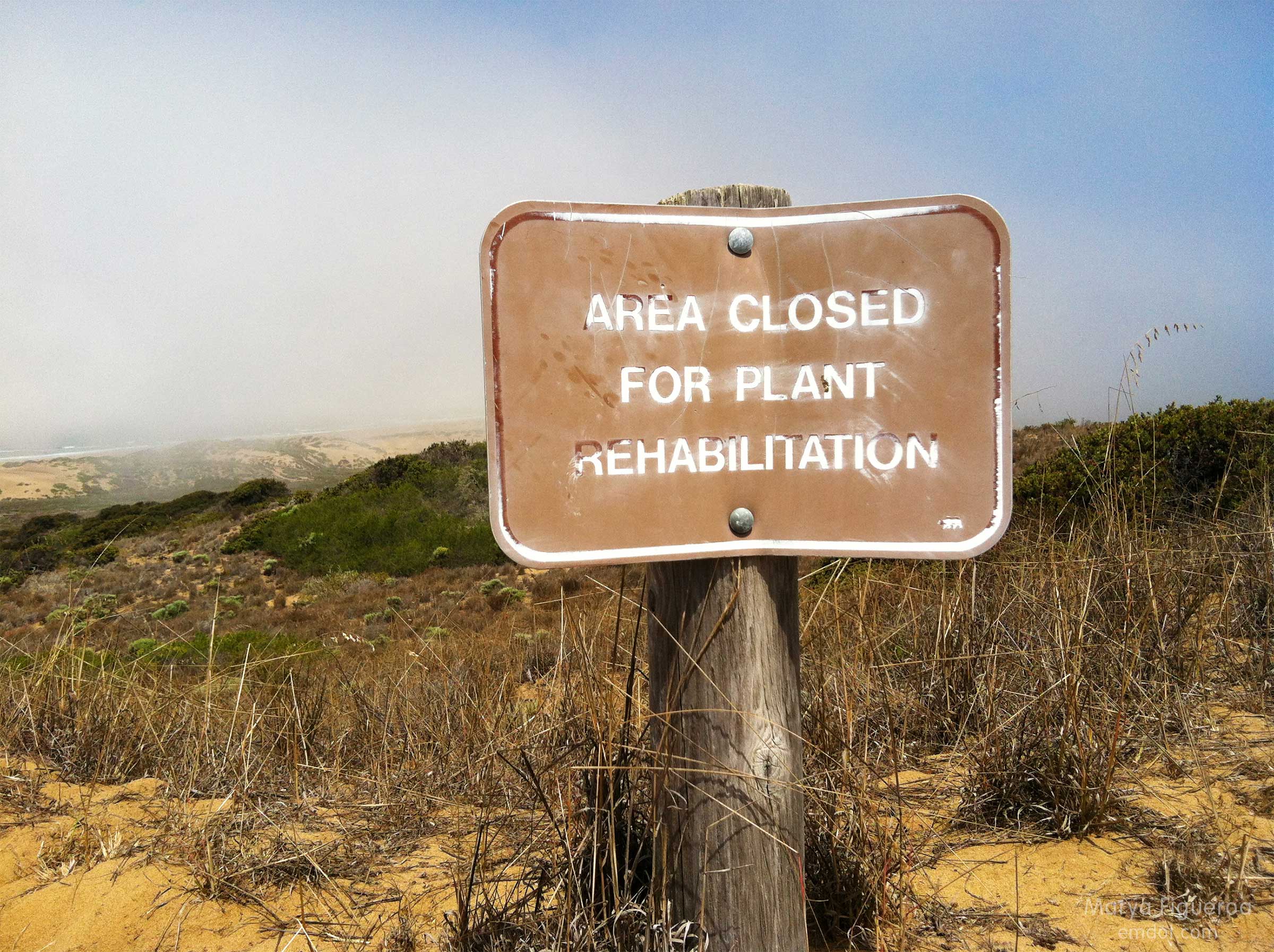
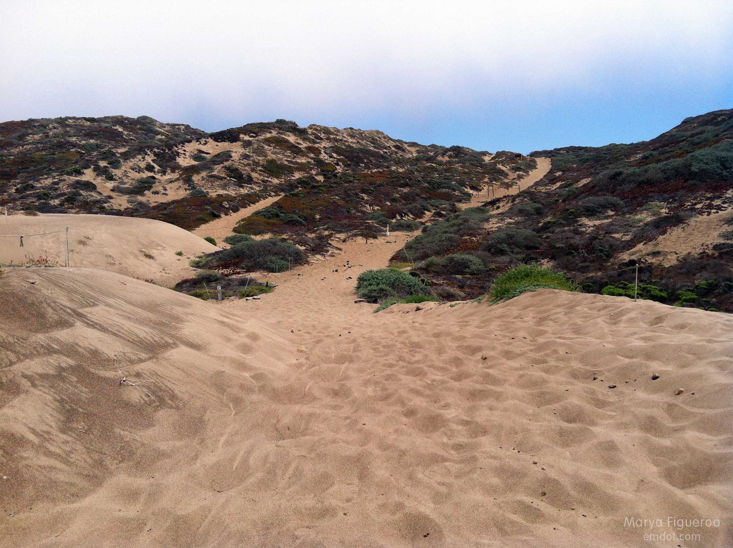
Much of the sandy/dune area is protected. A small fire blazed through here a few years ago, leaving it even more delicate (sand dunes and the surrounding flora are fragile things).
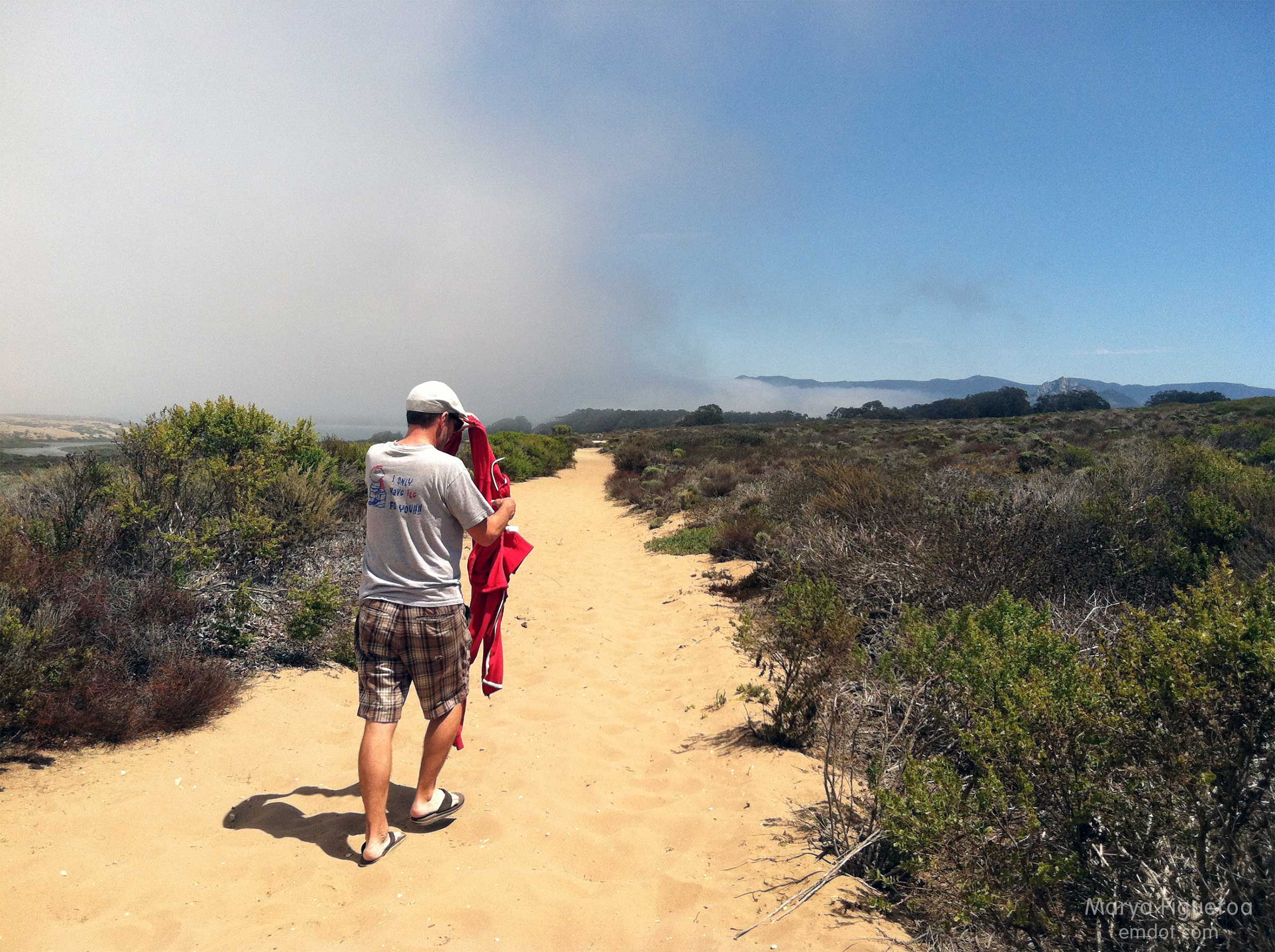
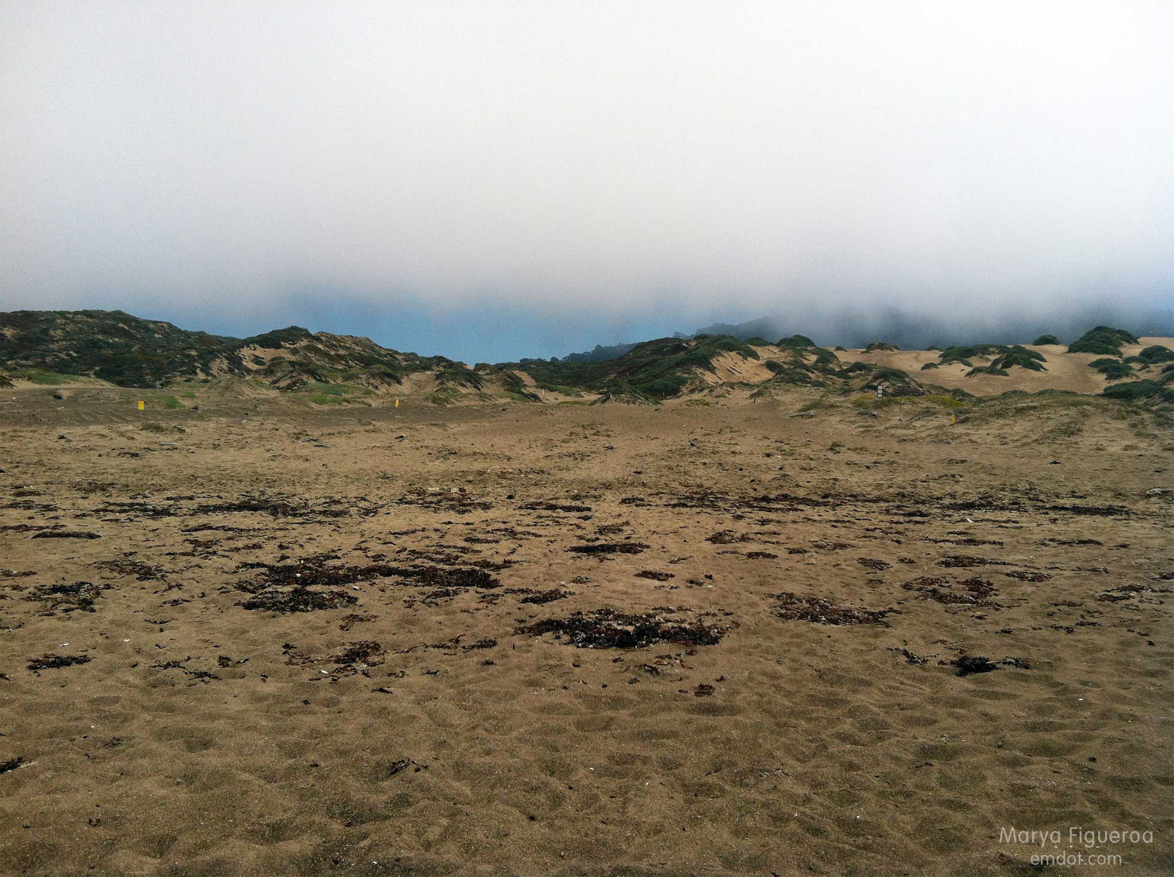
The fog rolled in and out. Sweatshirts came off and then back on several times.
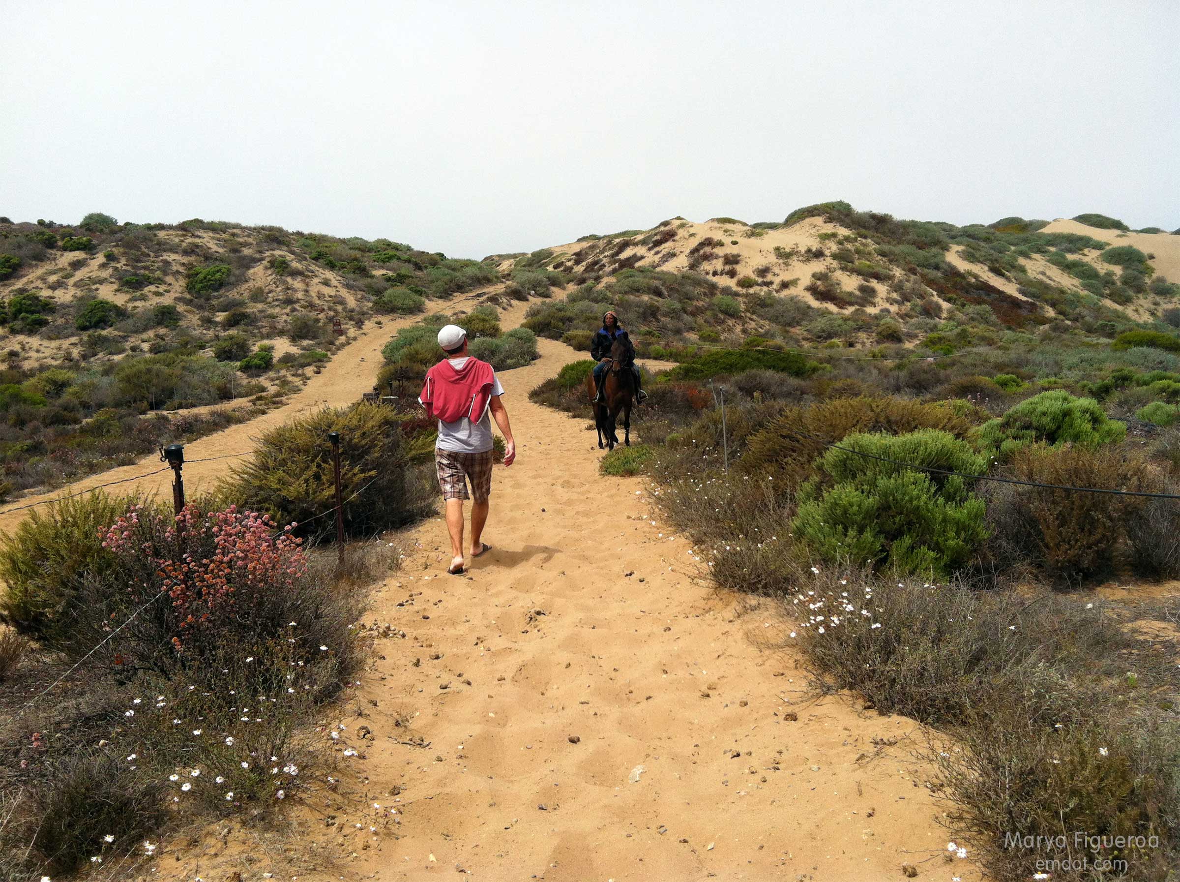
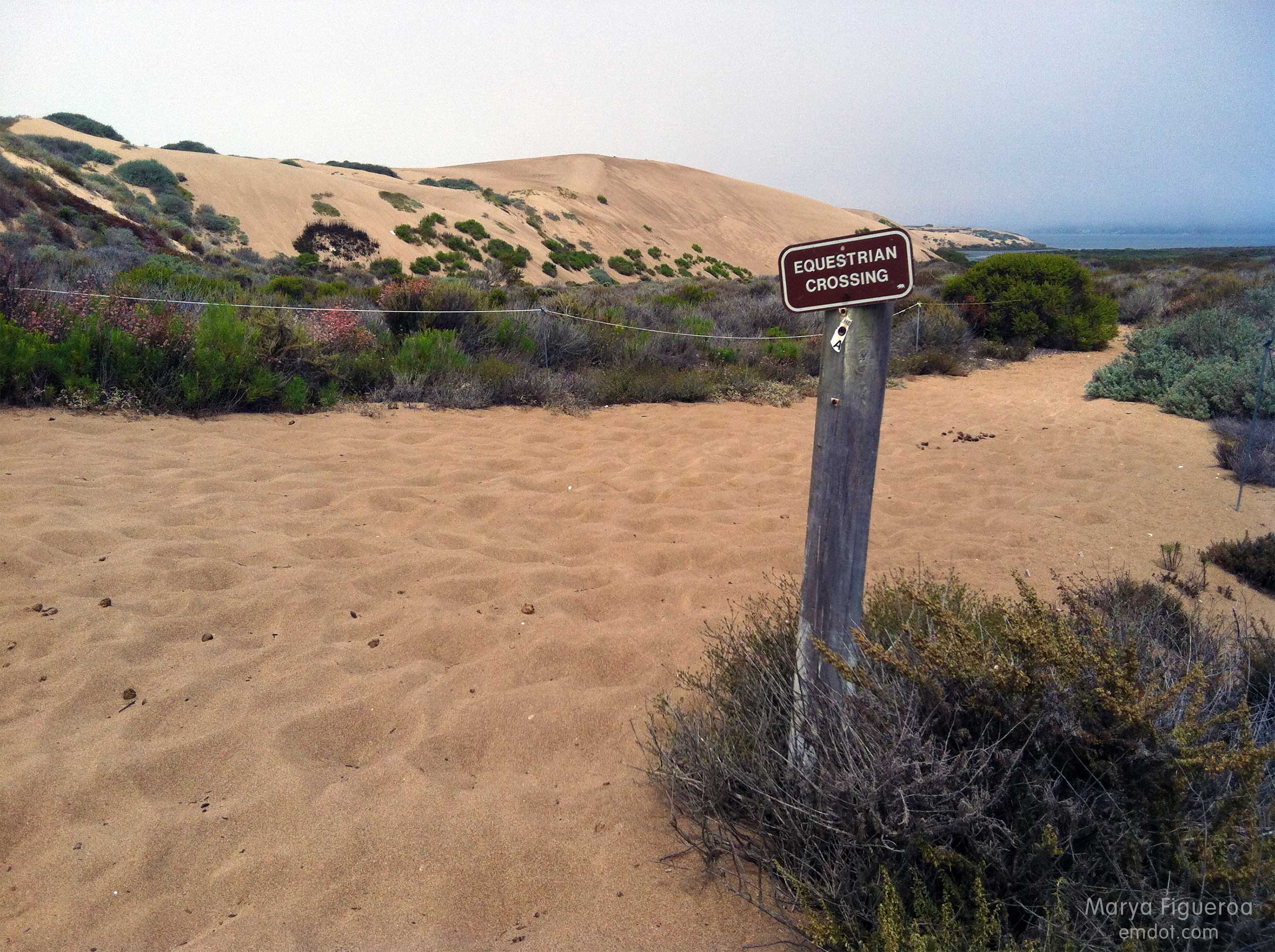
While walking to the beach the only people we saw were on horseback.
The loose, deep sand carried us all the way to the ocean’s edge. The trail at the beginning of the hike was mixed with leaves and (very small) brittle sticks. Later it turned to silty sand and sharp shale. At the dune it morphed to more traditional sand, but with an awkward and aging black substrate (that I presume was) laid down to fortify the trail base. It was quite sharp and stuck out of the ground at odd angles.
We wouldn’t take off our shoes until we hit the shoreline.
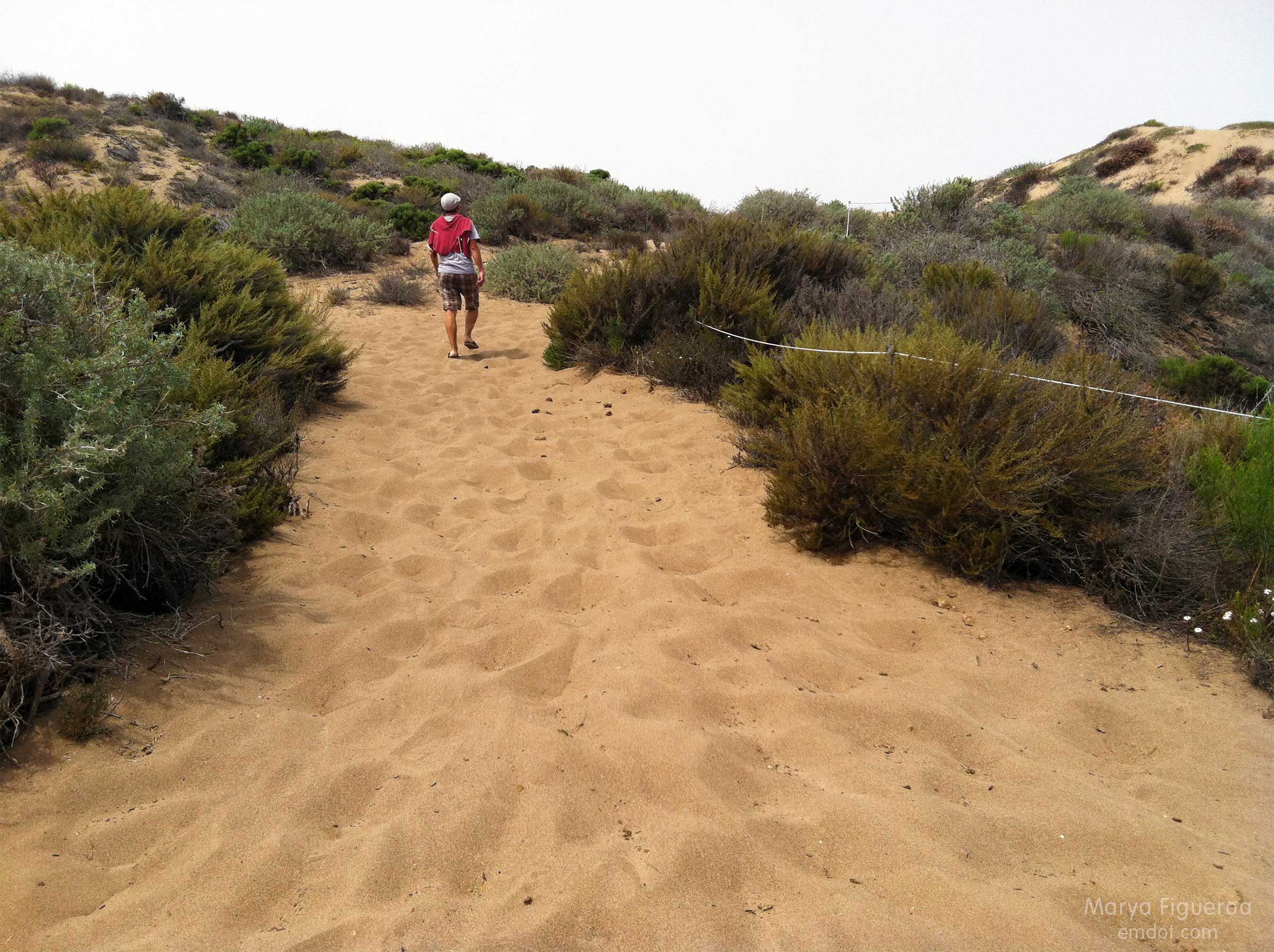
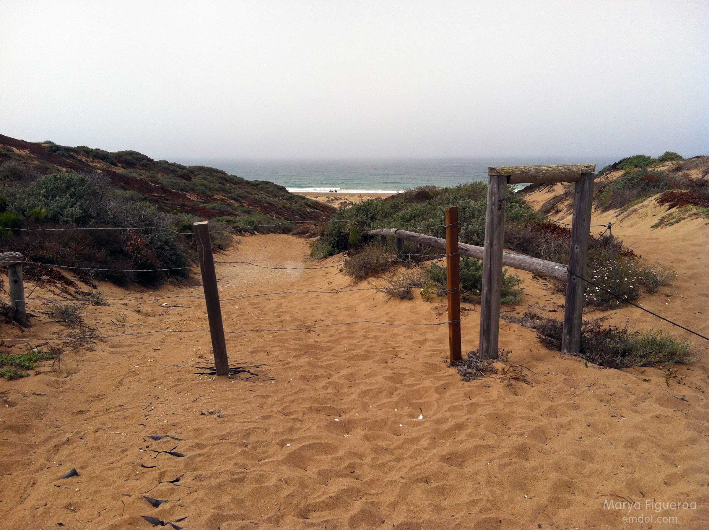
Photo below: At the bottom of the dune on the beach side, looking back up the trail we had just finished.
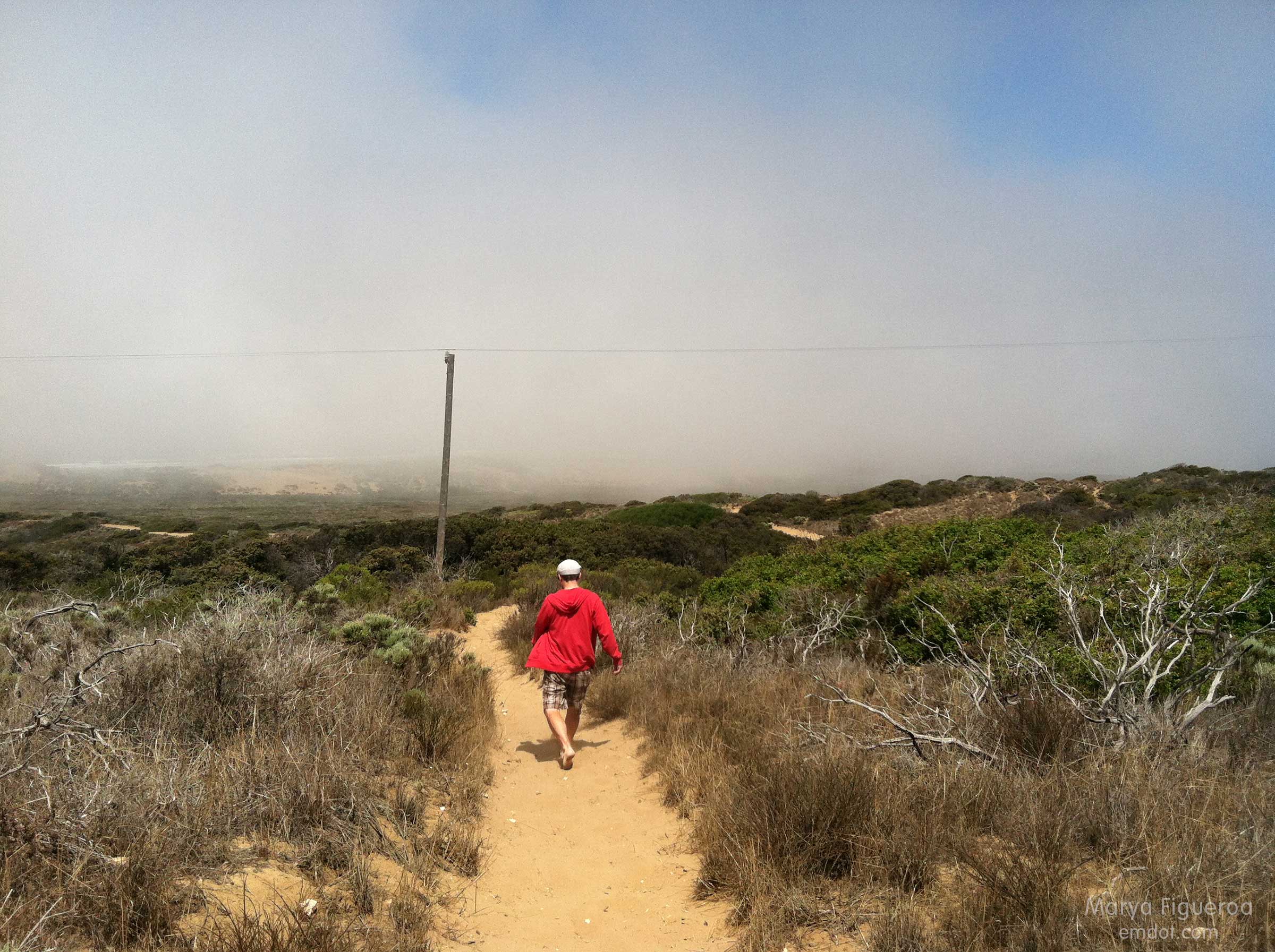
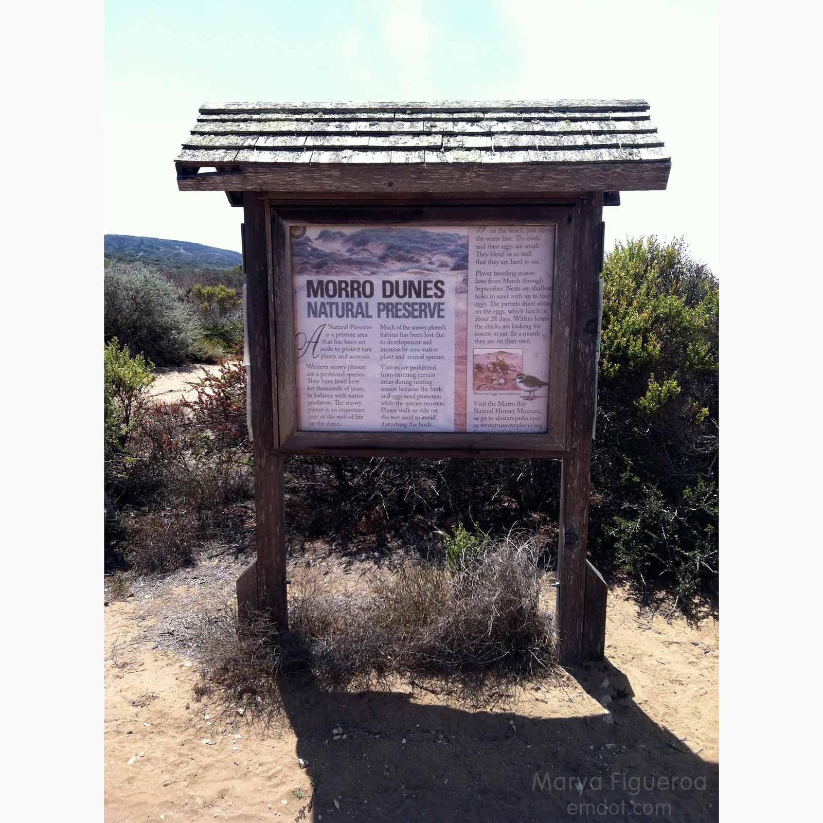
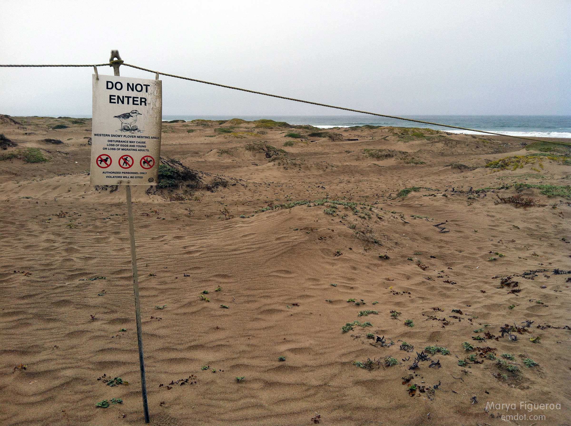
Snowy plovers are adorable, small shorebirds that lay their eggs IN THE SAND. How they have survived all these years is a mystery to me. The central coast takes great care in protecting these cute creatures. Most of the dunes are off limits for many months every year.
Once we made it to the beach, the big question became “how will we find the trail entrance when we return?” Because: seen one sand dune, seen them all (seriously). Plus it was foggy — we couldn’t see much landscape characteristics in the background. I took the photo below to help us identify our point of entry later. Steve also marked the spot with a big pile of purposefully placed seaweed (not shown).
Luckily, in the end, we did find our place to hike back. By that time we had eight miles under our belts, Steve’s shoes were causing large welts and blisters, and I was tired, hungry and thirsty. Let’s just say we both kept our heads down and our feet moving forward til we got back to the car.
Then, as luck would have it, some friends were just driving by our car (visible from the road) when we got back. They stopped and shared water, tangerines, deviled eggs and cameraderie. What are the chances? They had been picnicking out at Spooner’s Cove. Man, I was happy to see them. I wish I’d had my wits about me to take their photo, but at that time I was exhausted and wilted. :) Still: thank you Kristin! Thank you Bret! It was a great way to end the day.
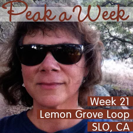
Lemon Grove Loop – after work version
Week 21 (can you believe it?!). As mentioned in previous Avila Beach Pier post, I was behind so it was a two-hikes-and-two-beaches week. No complaints. It’s nice to get outside after work; sometimes I forget this in my haze of after-work exhaustion.
This is the third time I’ve done the Lemon Grove loop this year and I guess I should remind folks that this is a hybrid hike. Part Lemon Grove and part Cerro San Luis trail proper. We merge them at one point to make something a bit longer that wraps around the whole mountain. It isn’t as steep as CSL proper… except at this one point (above).
Because of our timing (which was perfect and problematic) we had the sun in our eyes the whole time, sometimes obscuring what was directly in front of us. First world problems, people. And it’s a first world problem I’m happy to have.
Point Buchon
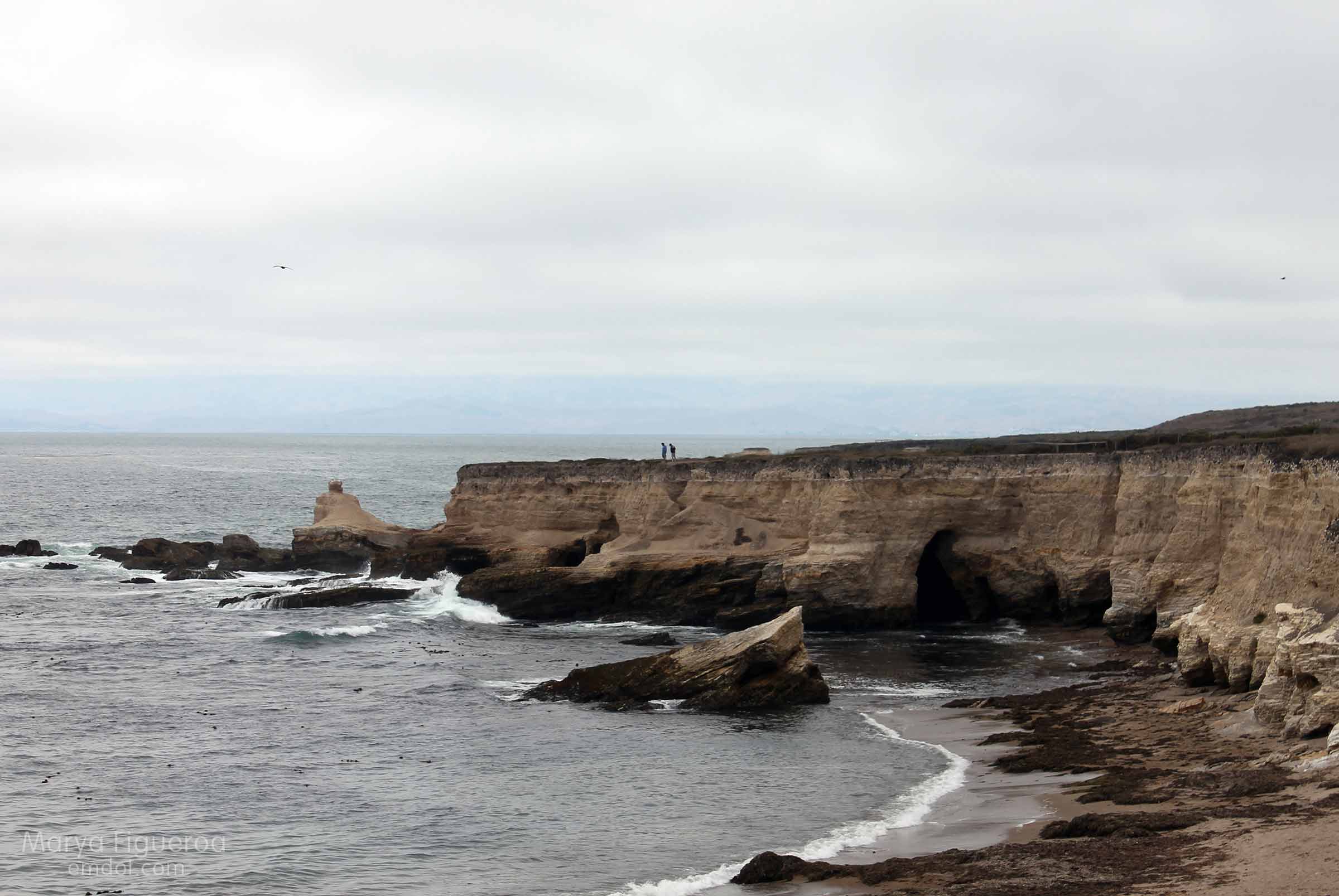
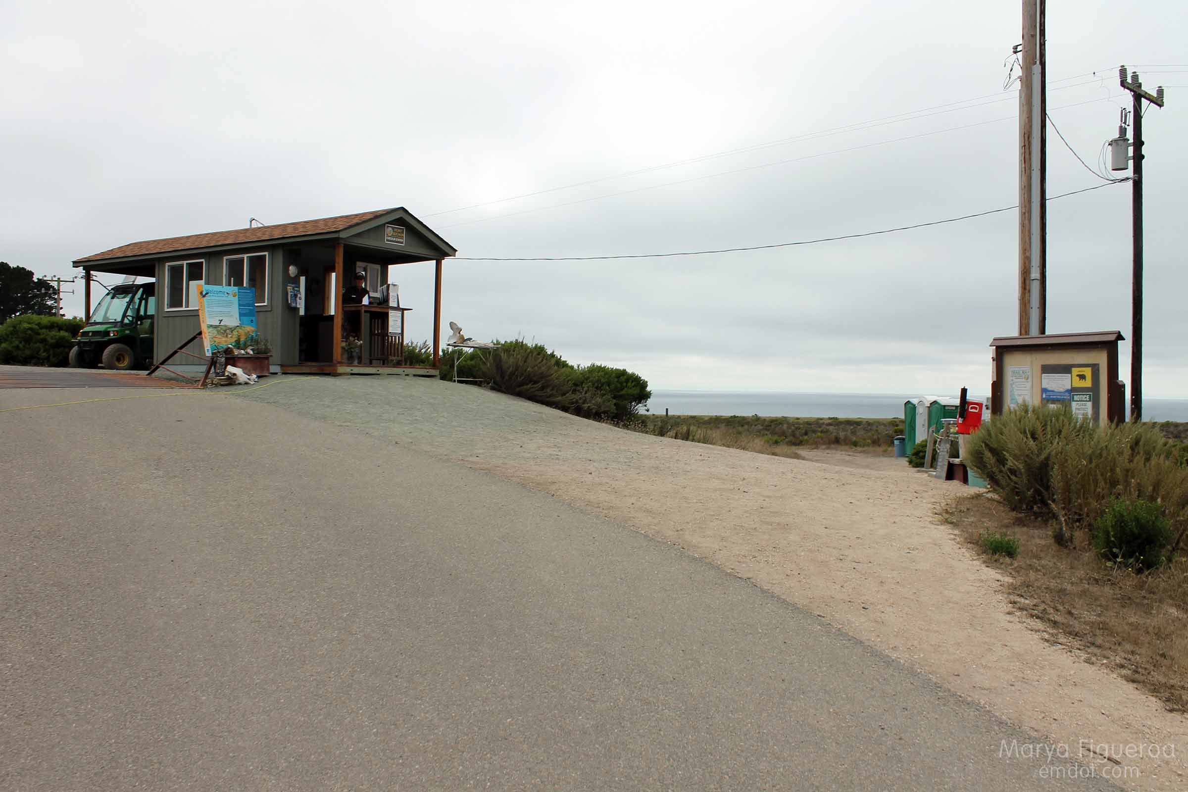
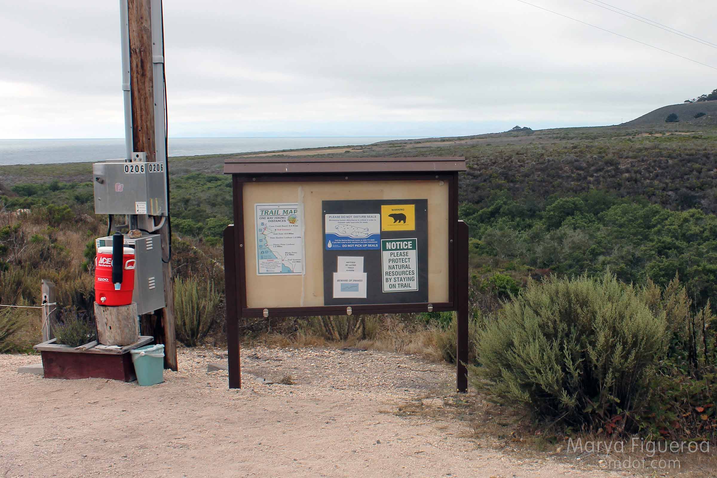
Week 20. August 4th. Point Buchon is at the southernmost tip of Montana de Oro state park, but is run by PG&E (they own the property). It’s only opened a few days a week and only for a few hours at that. You have to sign in at a kiosk with your id, address and the like. We got there late and only had 45 minutes to tromp out to the point or to the sink hole. We hustled off wanting to get the most in as we could.
Is it bad to say it’s not my favorite hike in MdO? It’s flat. It’s a bit barren. It’s probably better in the spring time. But it was still nice to be outside, to be there, to see the birds, and to get some exercise.
The sink hole used to be a cave until its roof caved in. I don’t know what you would call the “roof” that remains to the cliff…. Is this a natural bridge? I’m not sure. But it seems to be slowly eroding away as well. Some day (in our time?) this will be a cove.
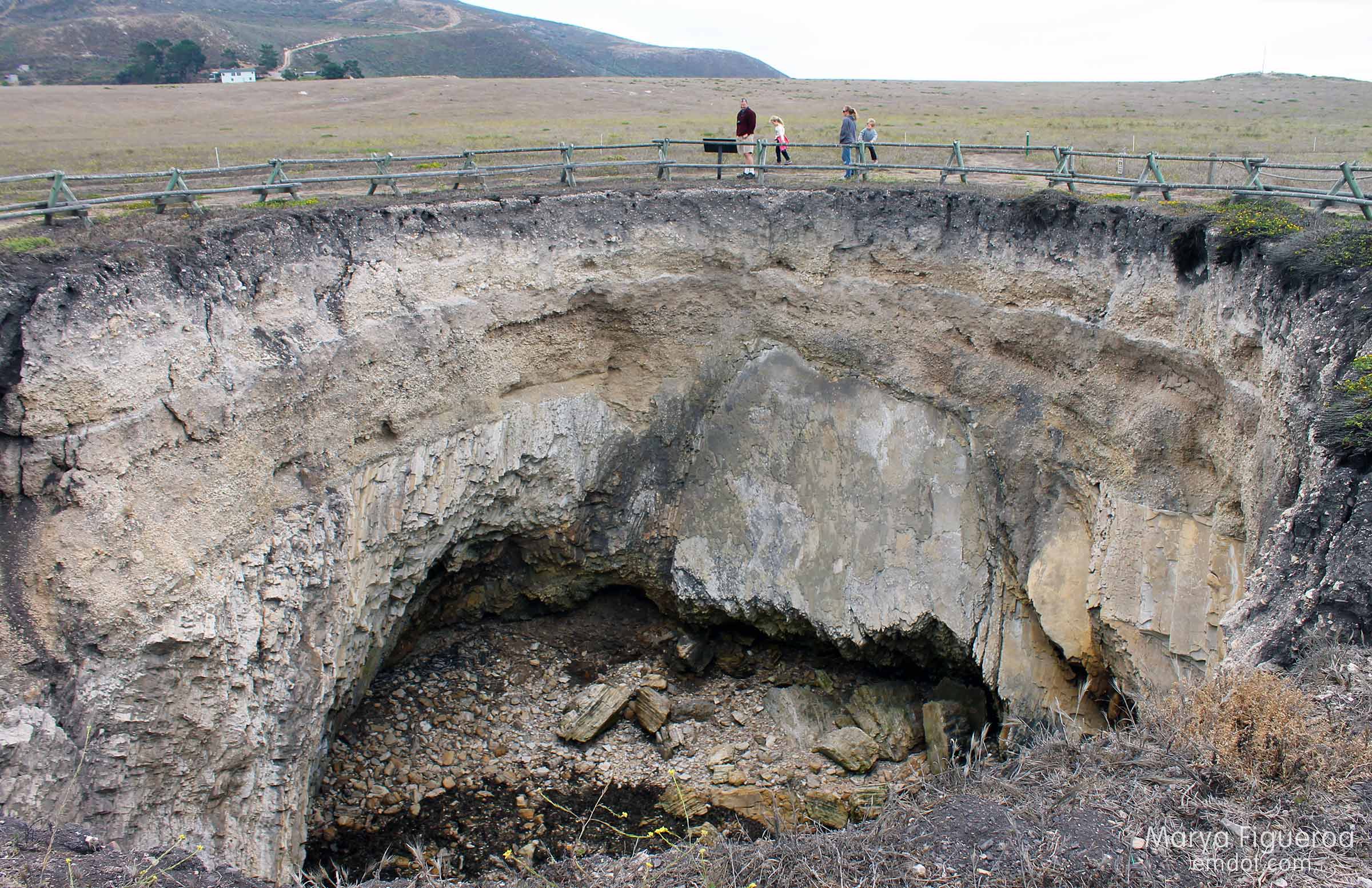
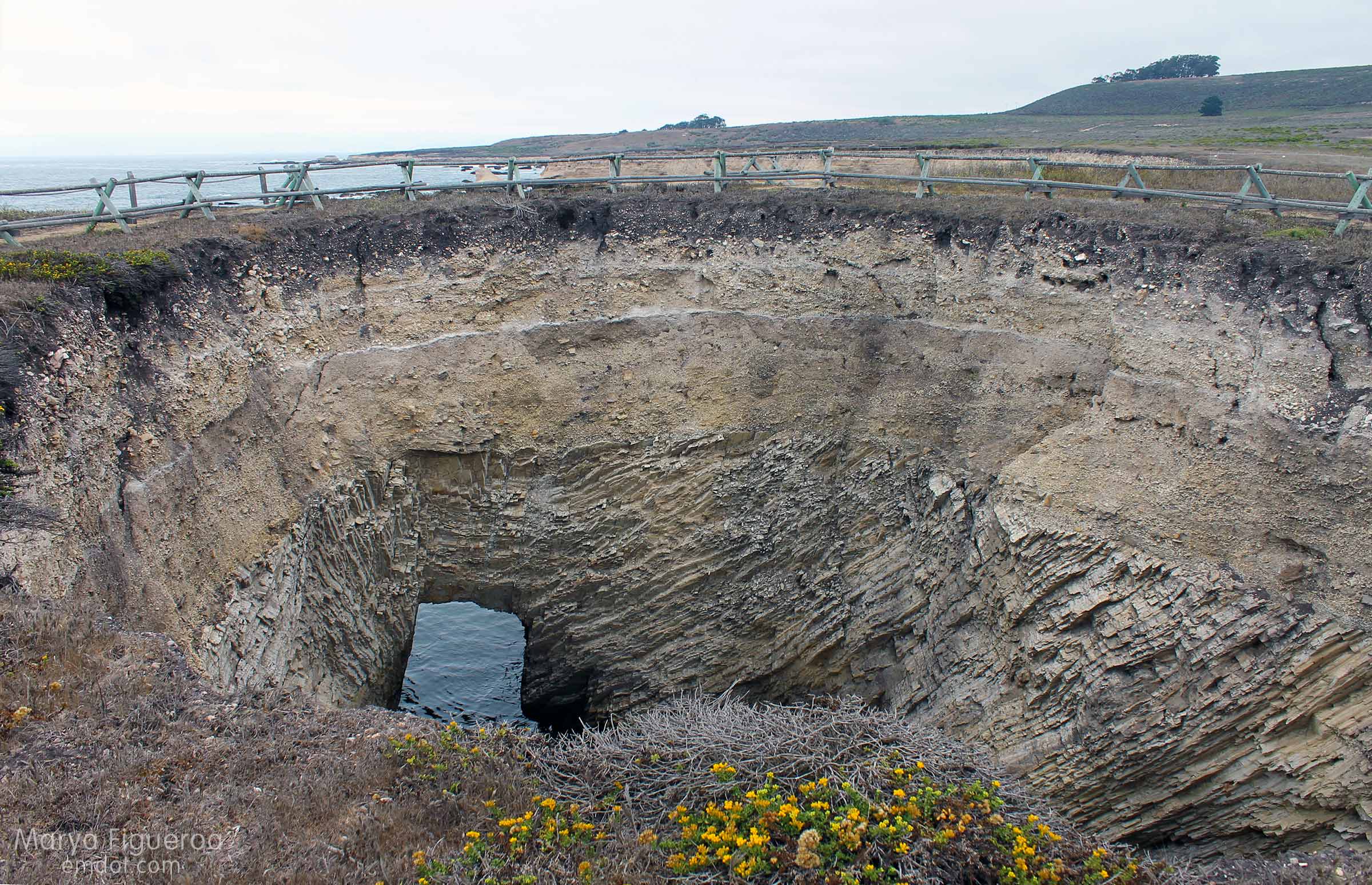
In the image below I’m standing at the westernmost part of the sink hole, looking towards the MdO Bluff Trail. The beach is still part of Point Buchon, but the cliff above it is Montana de Oro proper.
After our hike (we got back just in the nick of time), I still needed 2500 steps to make my FitBig daily requirements, so I talked Steve into doing a little of Coon Creek. Coon Creek is the lushest part of MdO, riparian and dense in foliage. Or it was. There was a (controlled?) fire that took out the lush trees leaving burned out bark and bare hillsides.
It will be interesting to see how the vegetation comes back in the months and years to come.
On our way out we were so wowed by the sight below that we pulled over to take a quick pic.

This made an impression on Steve, I think, because walking the sandspit from MdO to the rock and back became his mission and you will see it featured in an upcoming blogpost. A hike and a beach in one. I hope you’ll be back to see it.
Partington Cove
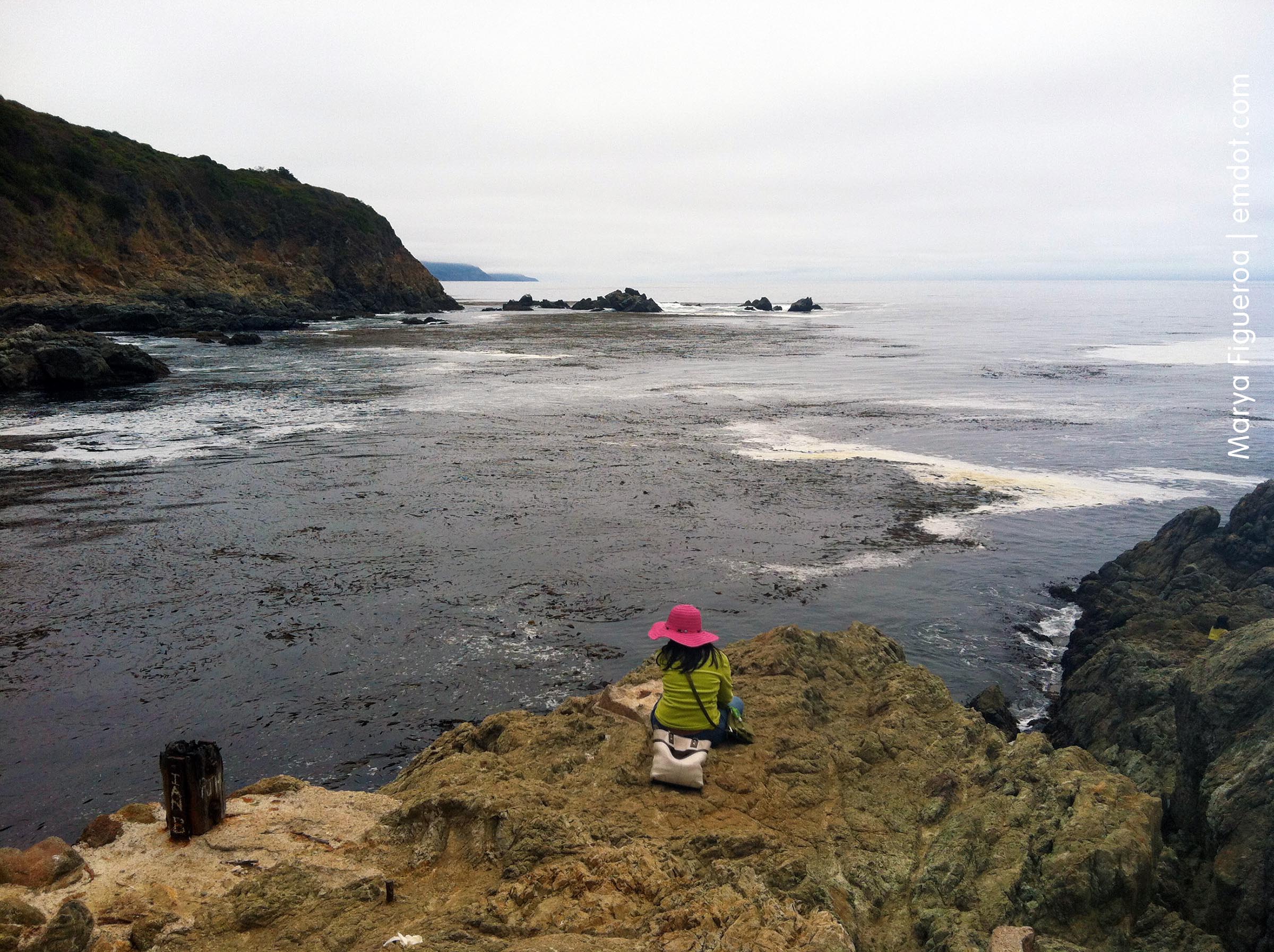
Week 19. Partington Cove used to be a working landing (or at least a loading point; let’s say that as I’m not quite sure what the difference is between a landing and a loading point) at the turn of the century for a business man who sold tanning bark. I have no idea what that is, but I learned about it on this Hiking in Big Sur – Partington Cove web page.
It’s a semi-steep walk down — but not difficult or tricky as it is a wide and well-maintained road; if you are fit it will be no problem. If you tire easily, bring a walking stick and some water. The trail forks. Right fork takes you to a rocky beach; left fork takes you to the cove. We took both, but went right first.
The trail features coastal redwoods and monterey cyprus as well as many other trees. It’s a green dream. Beautiful.
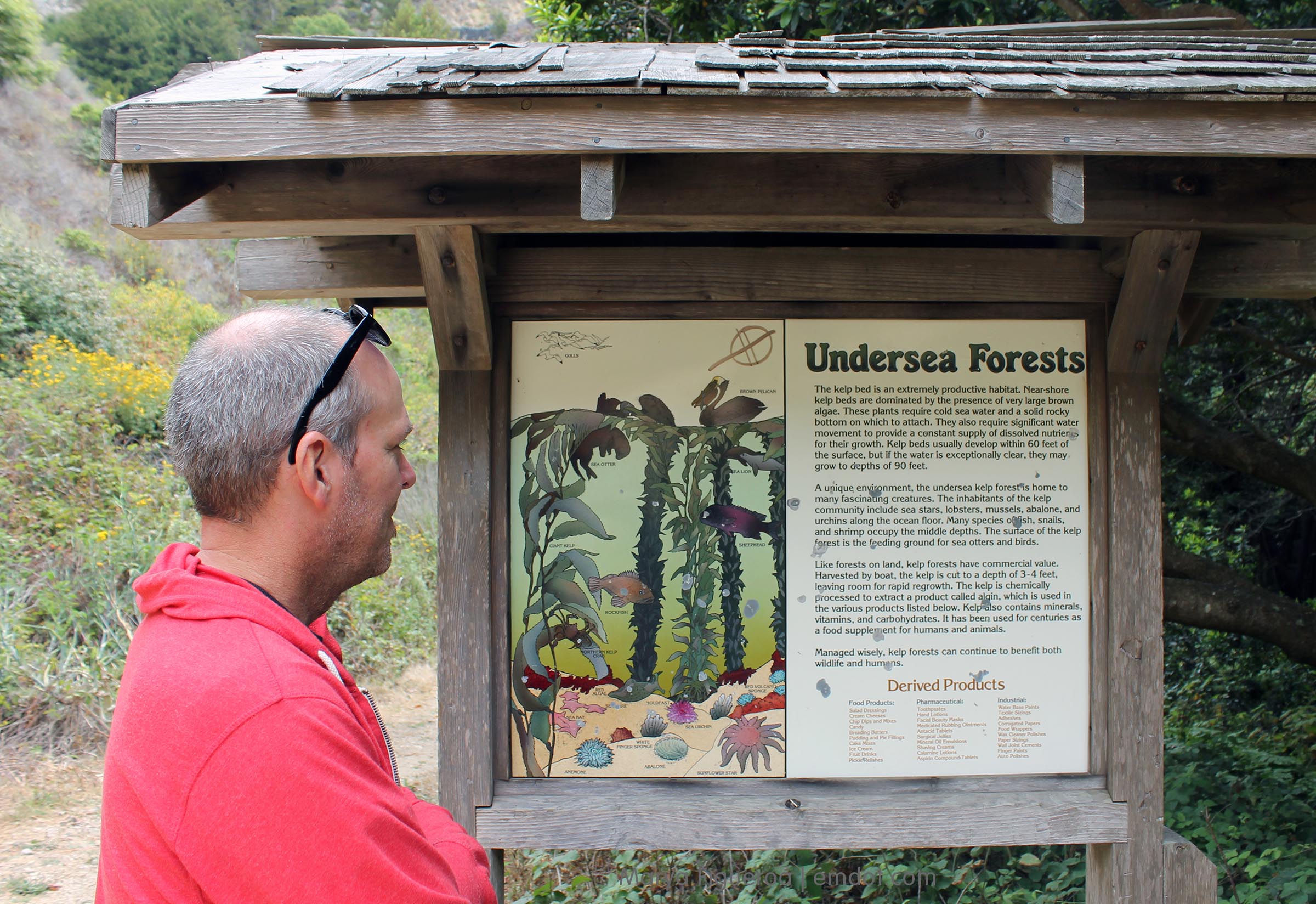
Read the sign for more information about everything going on under the water. We saw fisherman catching rock cod on both the rocky beach side and the cove side. I also thought I saw sea otters, but I think it was just very buoyant and huge kelp.
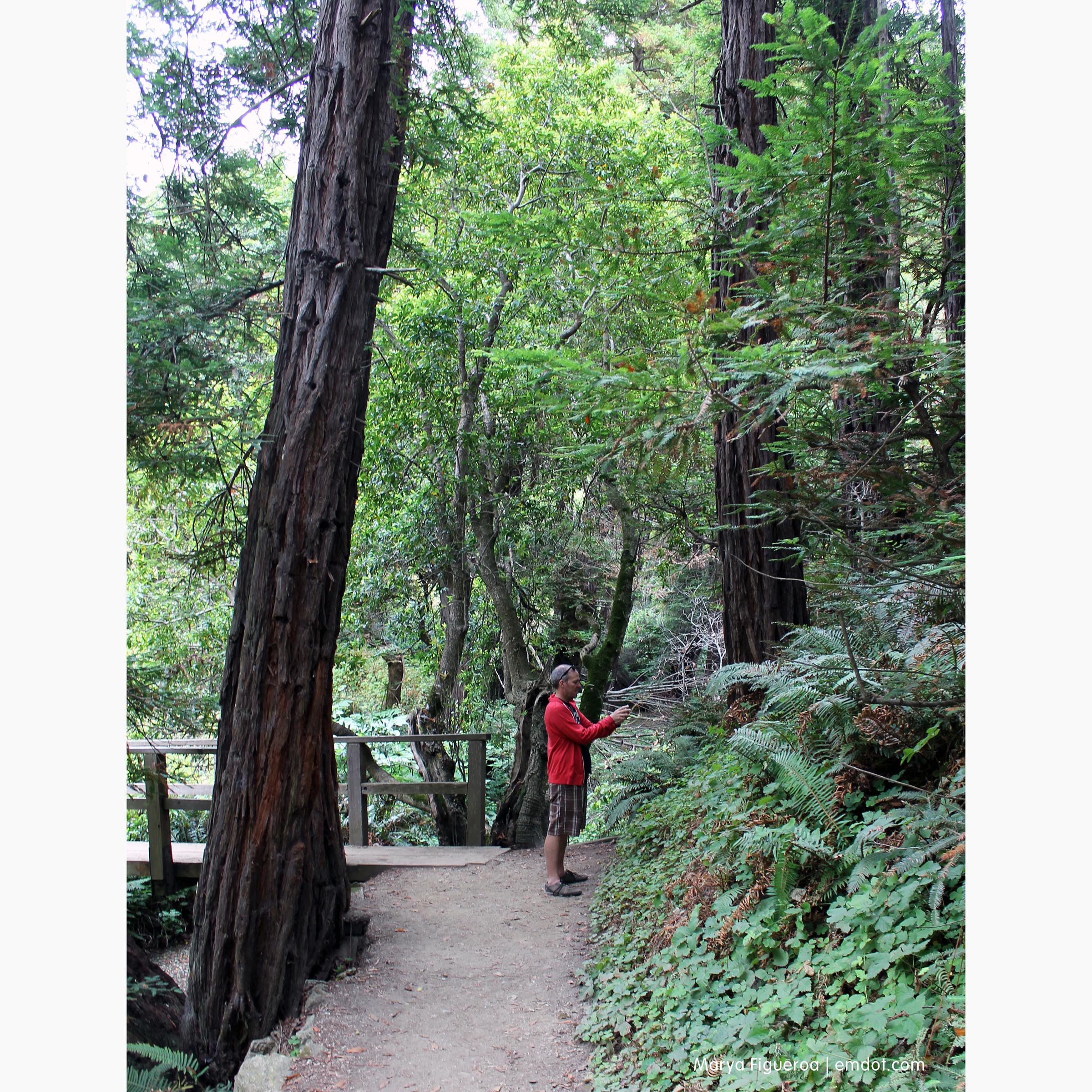
The redwoods here aren’t massive like you’ll find in other parts of the Sur, but they are still tall and impressive.
And maybe a little massive.
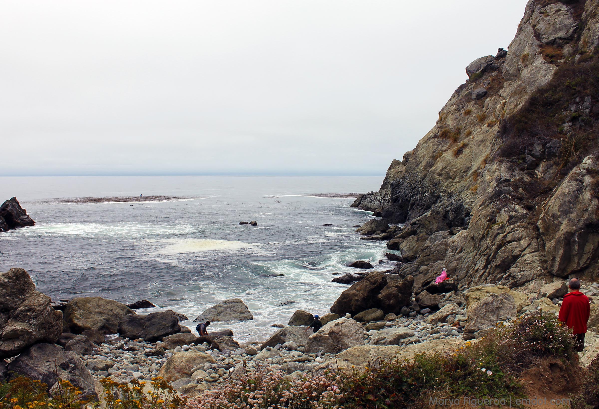
We went to the rocky beach first. The woman wrapped in a pink blanket caught my attention immediately. Her husband was out in a kayak fishing for rock cod.
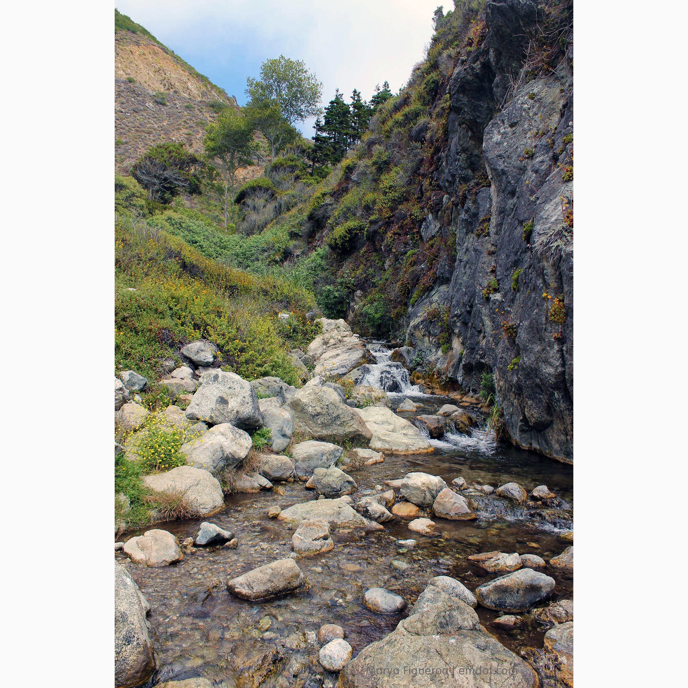
I’m not sure you can call this a waterfall proper, but it’s definitely a rapidly moving stream coming down to the ocean.
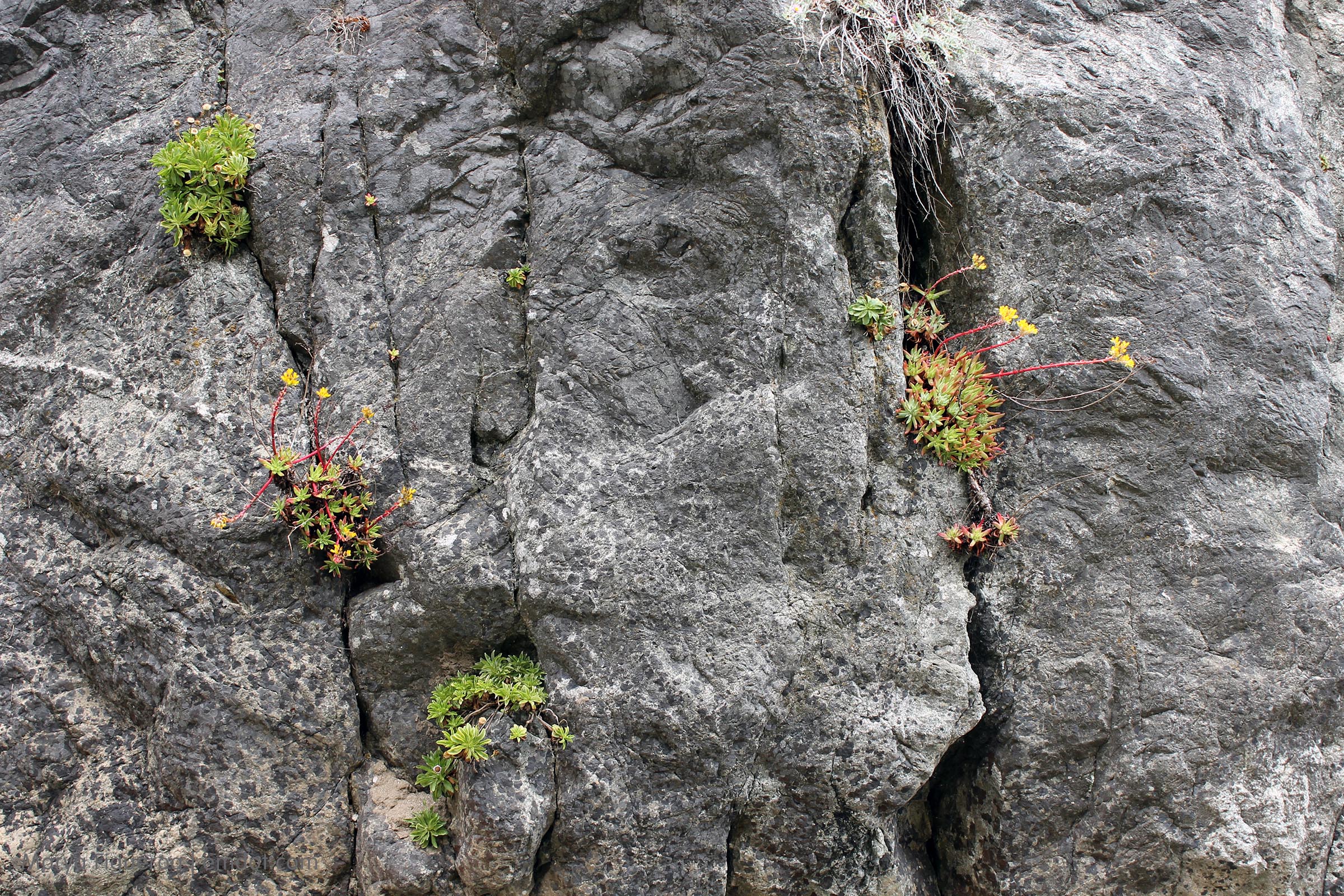
Loved the plants growing in the cracks of the rock cliffs, but also couldn’t help but realize they were helping the cracks grow wider. Some day this wall will crumble (though perhaps not in our lifetime). Erosion happens in even the best circumstances.
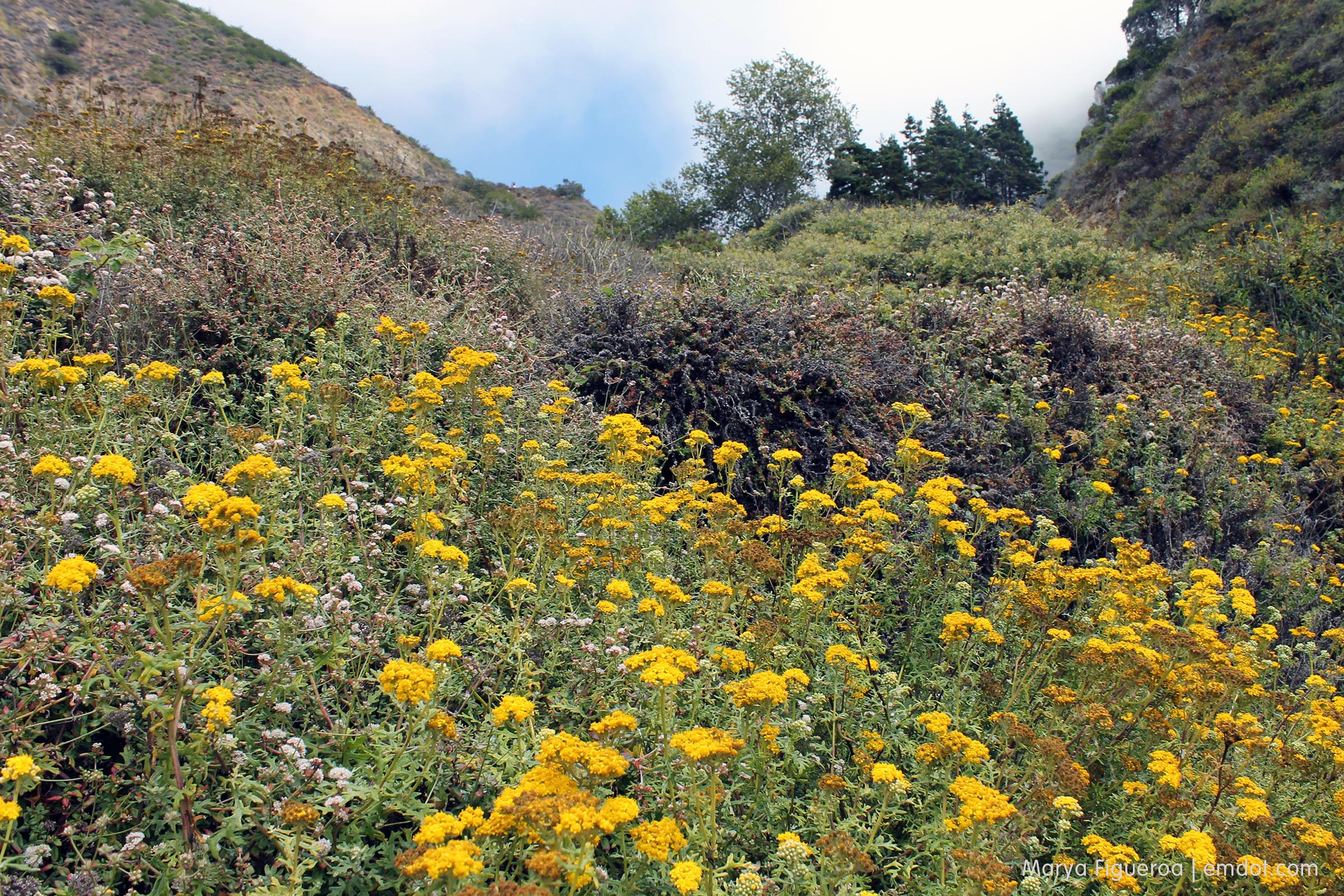
The bottom of the trail was flanked by great stands of yellow flowers, so thick that you can’t even see the trail that is switching back amongst them.
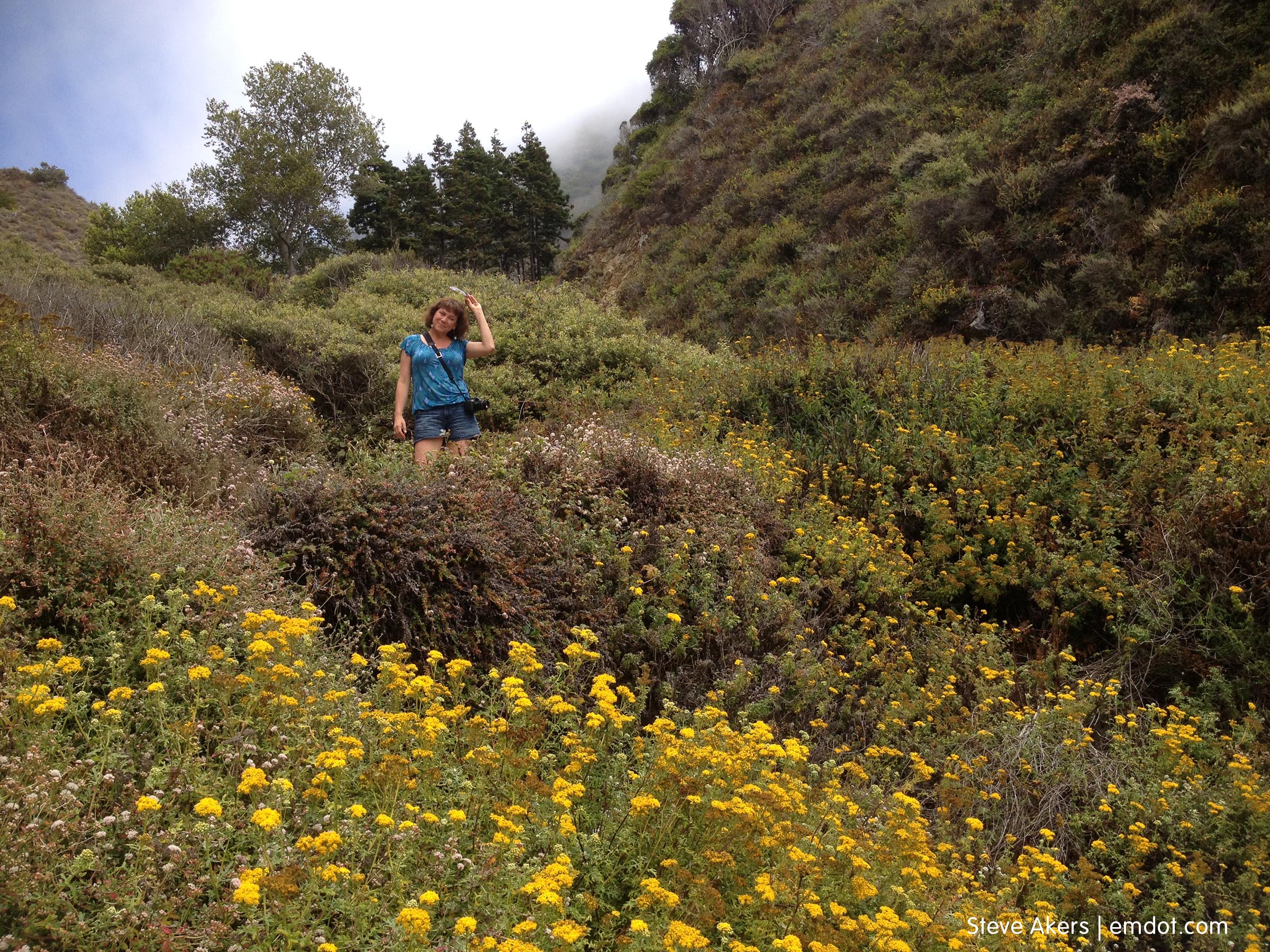
Photo above so you can see how the trail is within the flowers.
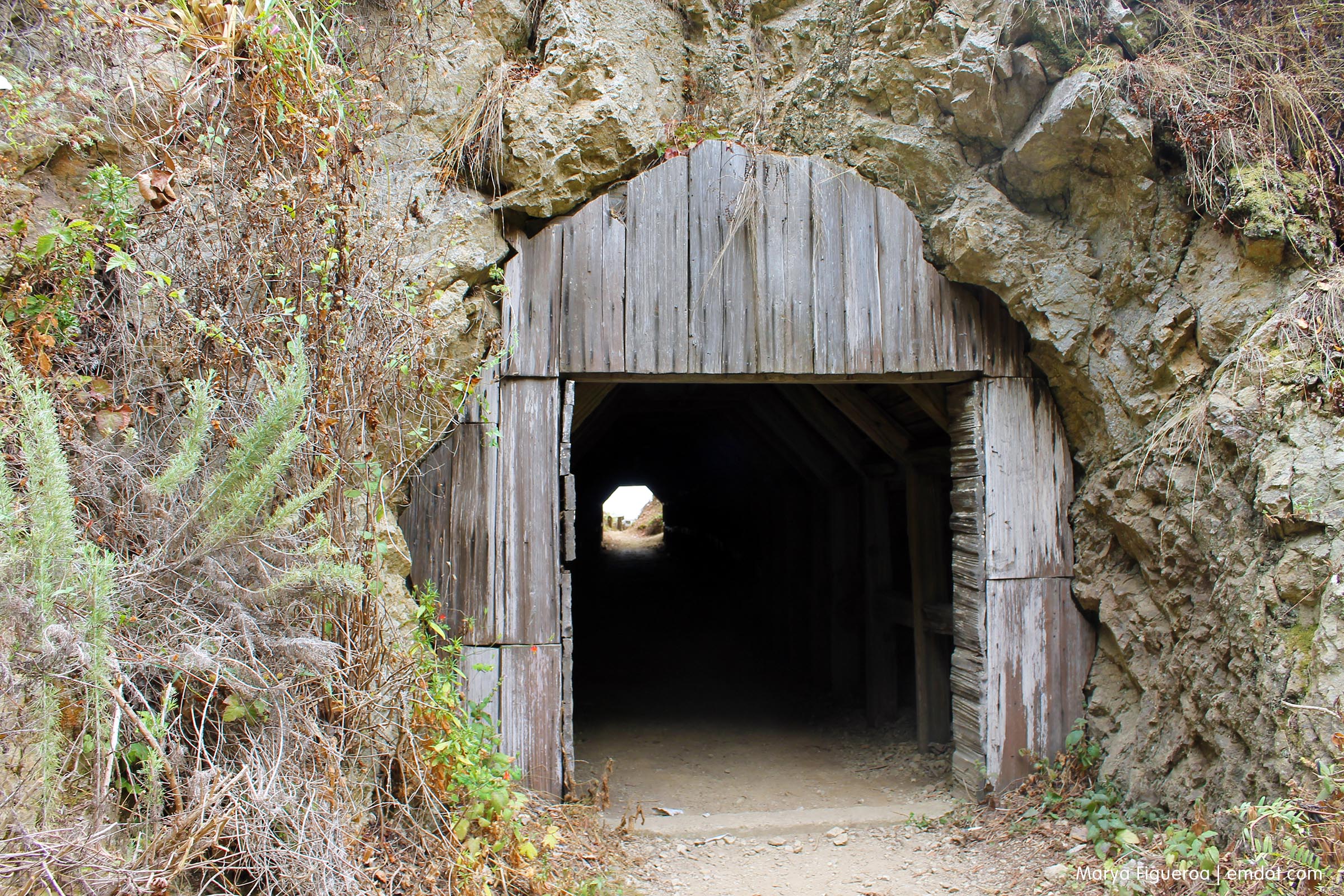
After exploring the cove, we headed back up the trail to the fork to check out the tunnel.
When we started the hike we didn’t even know its name, much less what to expect. We saw something on the east side of the road and pulled over to stop. It was only then that we realized that there was a trail on the oceanside. When we saw the tunnel I don’t think either of us had any expectations beyond getting to go into a tunnel (that alone would have been enough for us.).
Workers used the tunnel in the late 1800s to get through 100 feet of rock to the cove. Where the ocean meets the cove seems dangerous to me; I can’t imagine pulling my boat into this cove, but I am obviously not made of seafaring fortitude. (Note: we were there on one of the calmest days I’ve ever seen at the Big Sur coast. The ocean was glass. It usually isn’t. I can imagine the waves here get ferocious.)
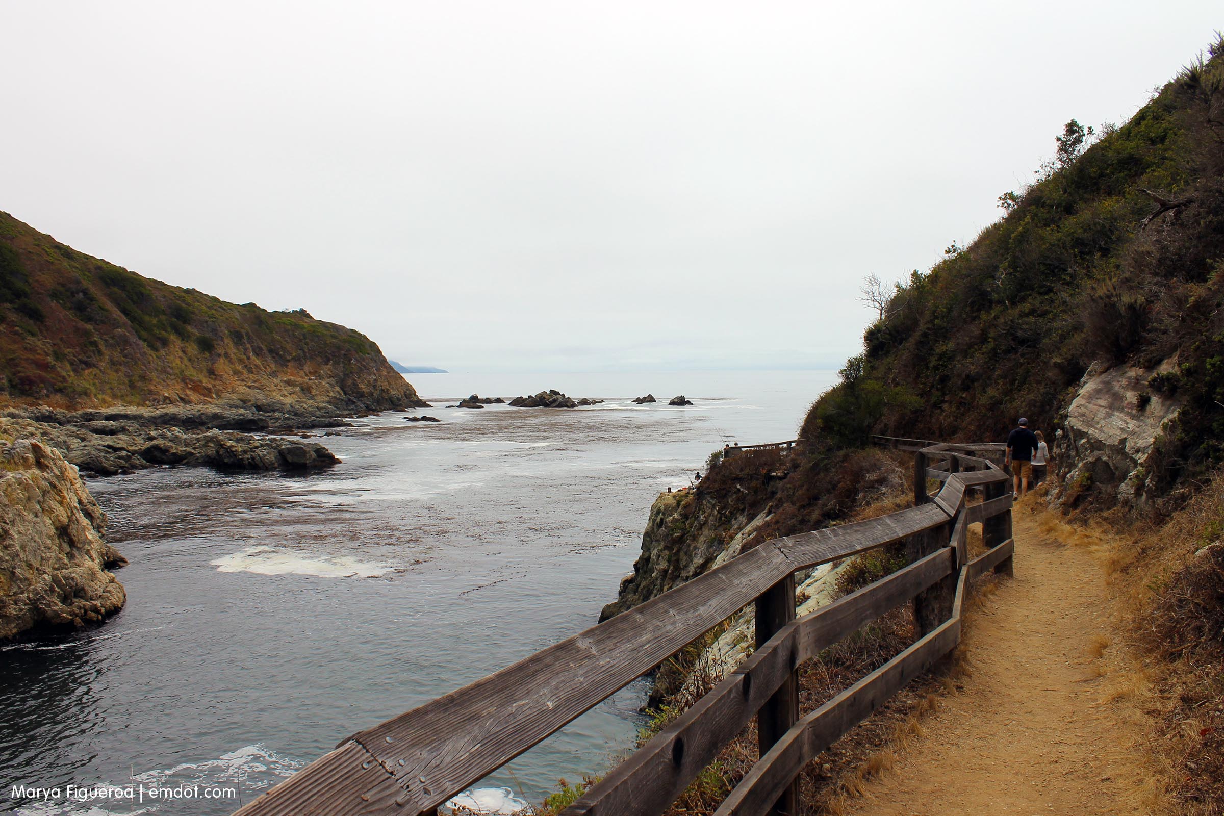
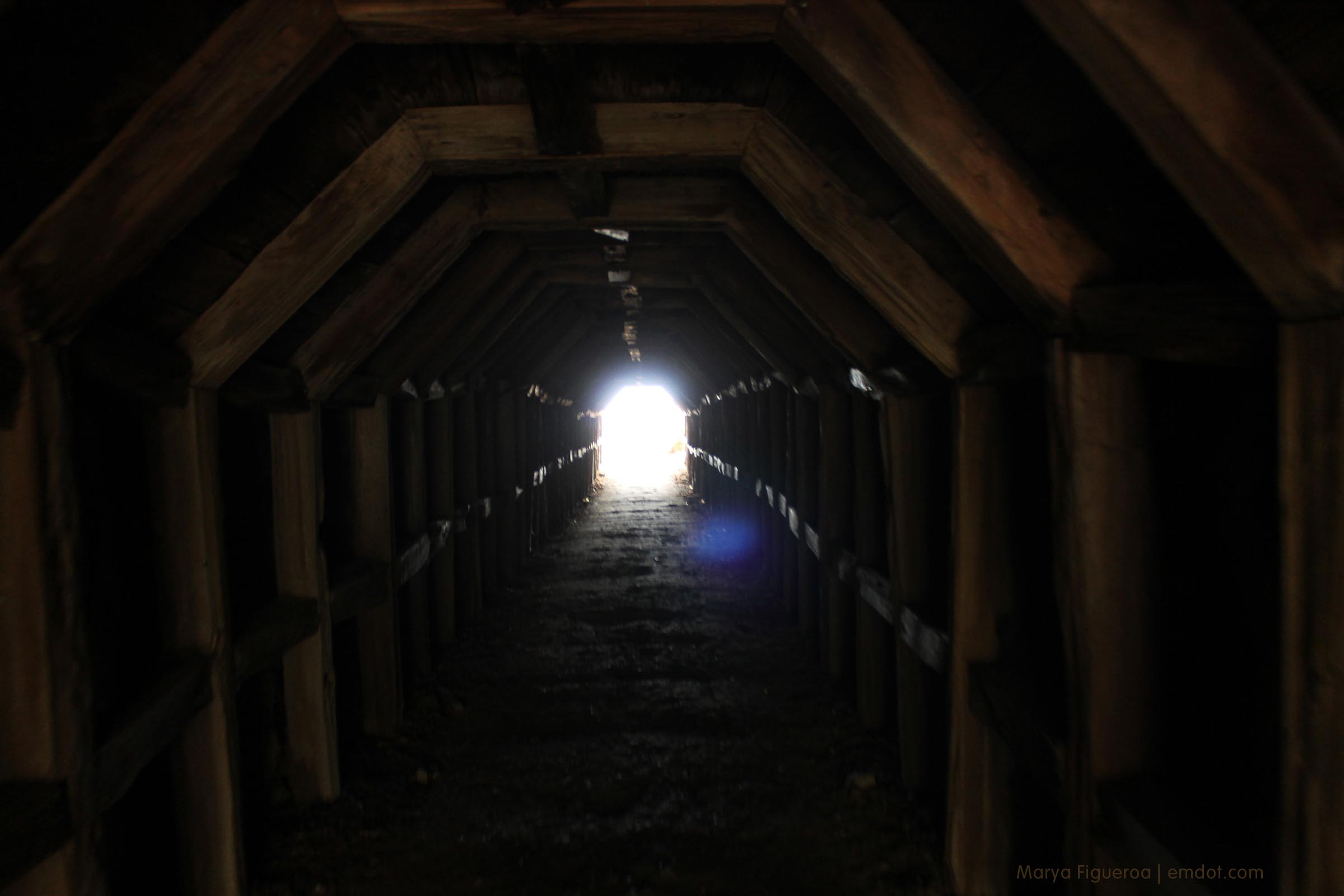
The trail is nicely maintained and I loved how the fencing included an angled top plank so you could lean over it. Whoever made that decision: good work! I did a lot of leaning while there. Very comfy.
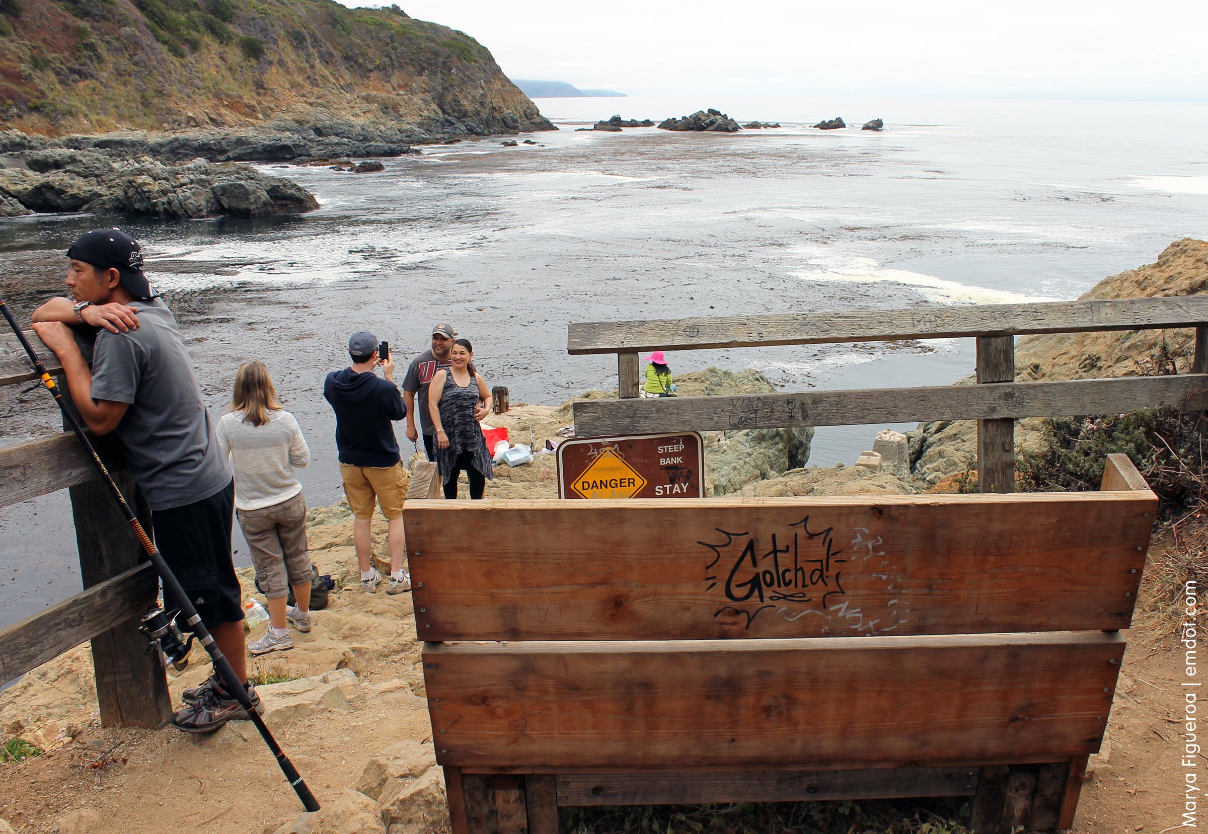
There were four fisherman at the cove and one was actively manning his fishing pole, sure that he had hooked a rock cod. (The man above is not the actively manning guy. Actively manning guy had pole in hand and was reeling in and letting back out his line, repositioning his pole, pulling back against the tug of the fish, etc.)
Above you can see a person taking a couple’s photograph. Steve took their photo on the rocky beach side. I love how they wanted their pic taken on both sides. Obviously, a happy couple (which made me happy).
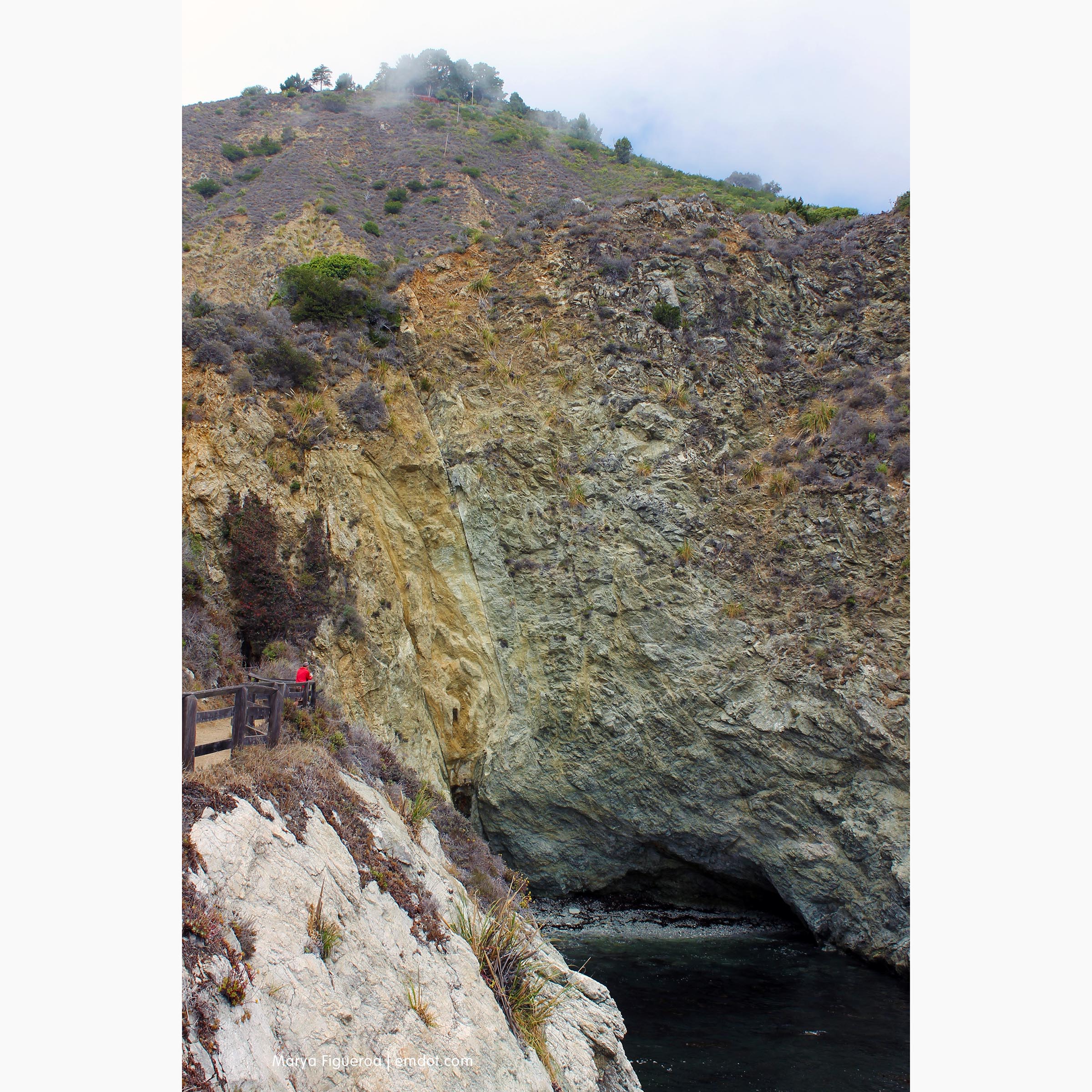
The cove itself is capital R Rugged. There is a small cave/natural bridge formation and the waves BOOM! when they go through it. You can see Steve above (red jacket) taking a sound recording of the booming waves. The cave is below him and not shown in the photo. Way up above you see the peak; there’s a house built there.
We both give Partington Cove the thumbs up. It’s rugged and beautiful (in that ruggedly beautiful way).
Of note: the poison oak, we noticed, was tricky here. You will see it blatantly growing along the side of the path with vigor and health. But it’s in other places, too. There was a pretty bank of wild oxalis going toward the tunnel. How pretty, we said. But when we looked closer we realized that the oak was hiding in with the oxalis. It’s like it has an evil agenda of getting you whenever it can. Evil oak, you don’t fool us.
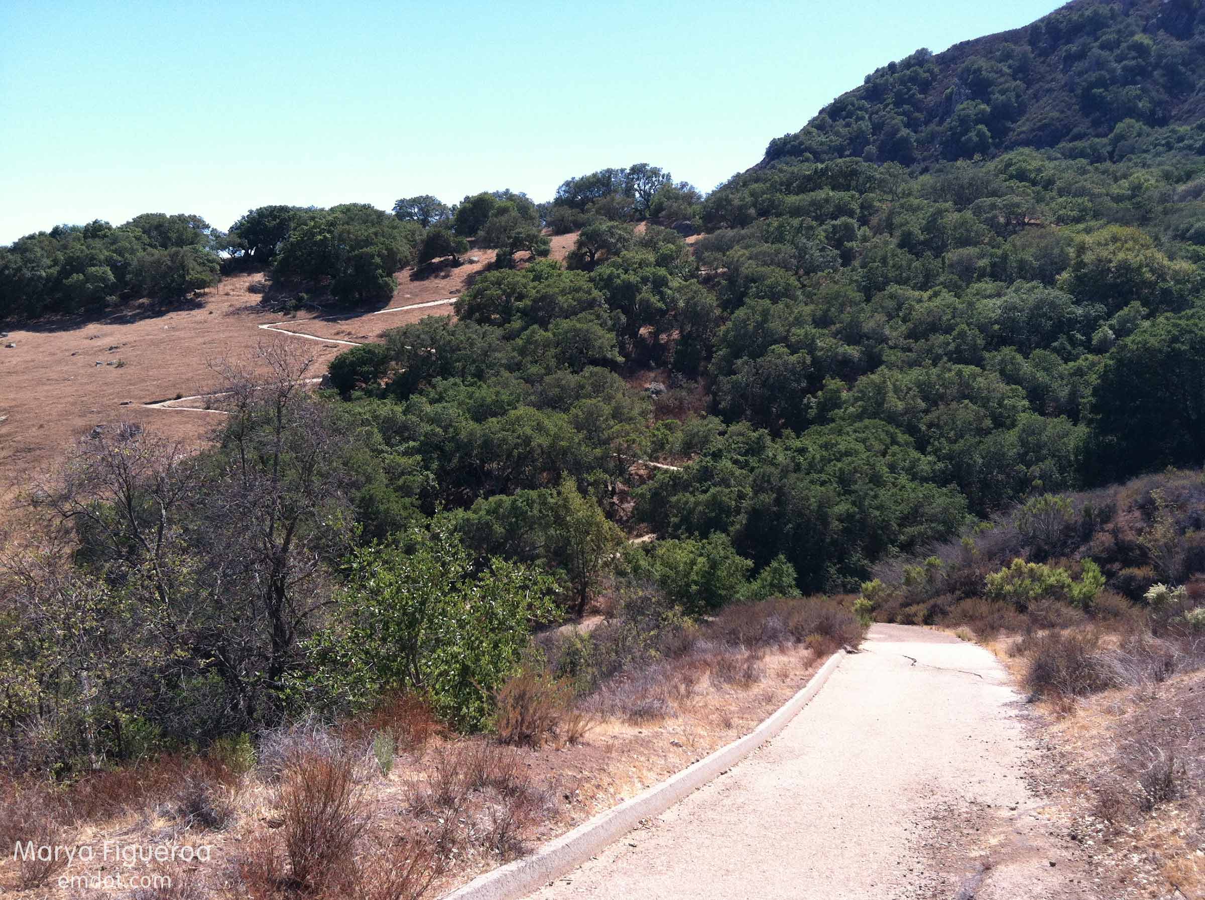
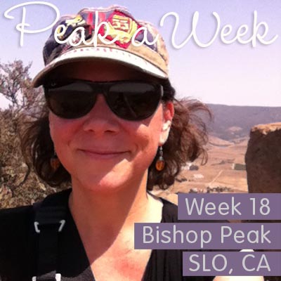
Bishop Peak
Week 18. July 21, 2013. Shane texted on the 20th. Paraphrased: “Let’s go to brunch tomorrow! And then we’ll hike!” That plan turned into let’s hike and then have lunch. Either way, a win. Companions: Shane, Dan, Steve, and me.
Steve made a little movie of the very beginning of our hike. We look tired even then. :)
It was a warm day and the trail was buzzing with people either doing the main Bishops trail or the Felsman loop like the people above.
Dan led most of the hike like a billy goat on a mission and that mission was to achieve a cardio vascular workout (much to the chagrin of me, Steve and Shane).
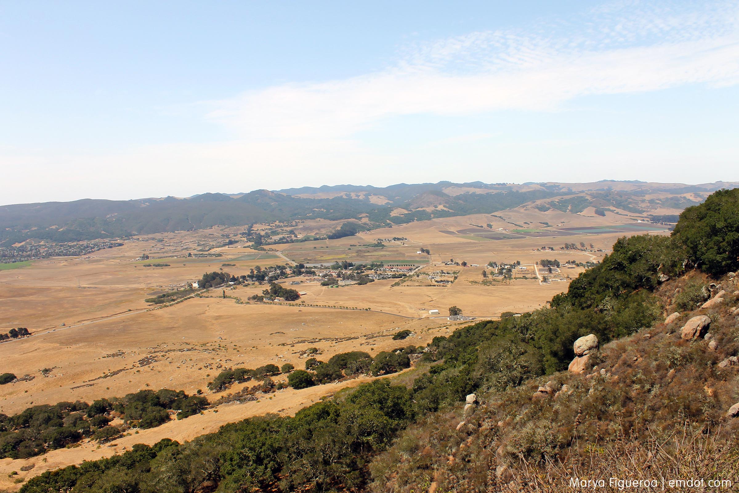
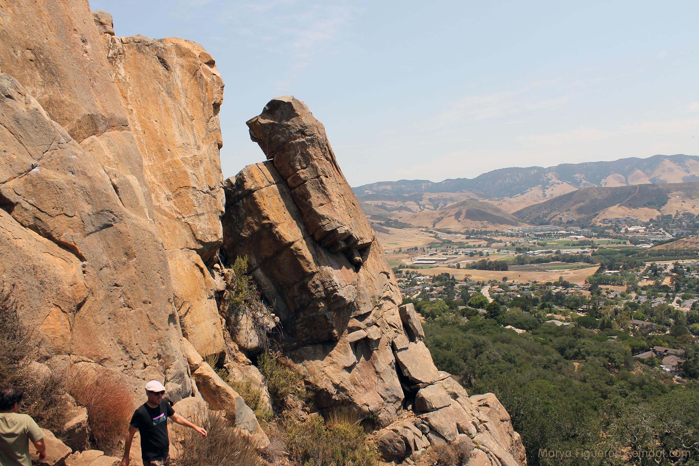
The next three photos are to show how San Luis changes through the seasons. I guess we have three seasons of brown (summer, fall, most of winter) and then a lovely green spring if we are lucky. Since my Peak-a-Week challenge started in the spring, some of you may have the impression that San Luis is a luscious green paradise. I am here to show you that no, no it is not. Paradise? Maybe. Green? Bwah ha ha.
The photo below is looking due east over most of the town of San Luis.

This is looking southwest towards the towns of Avila Beach and Pismo Beach, though all you can really see is Laguna Lake and some Madonna family farmland. That’s Cerro San Luis peaking out.
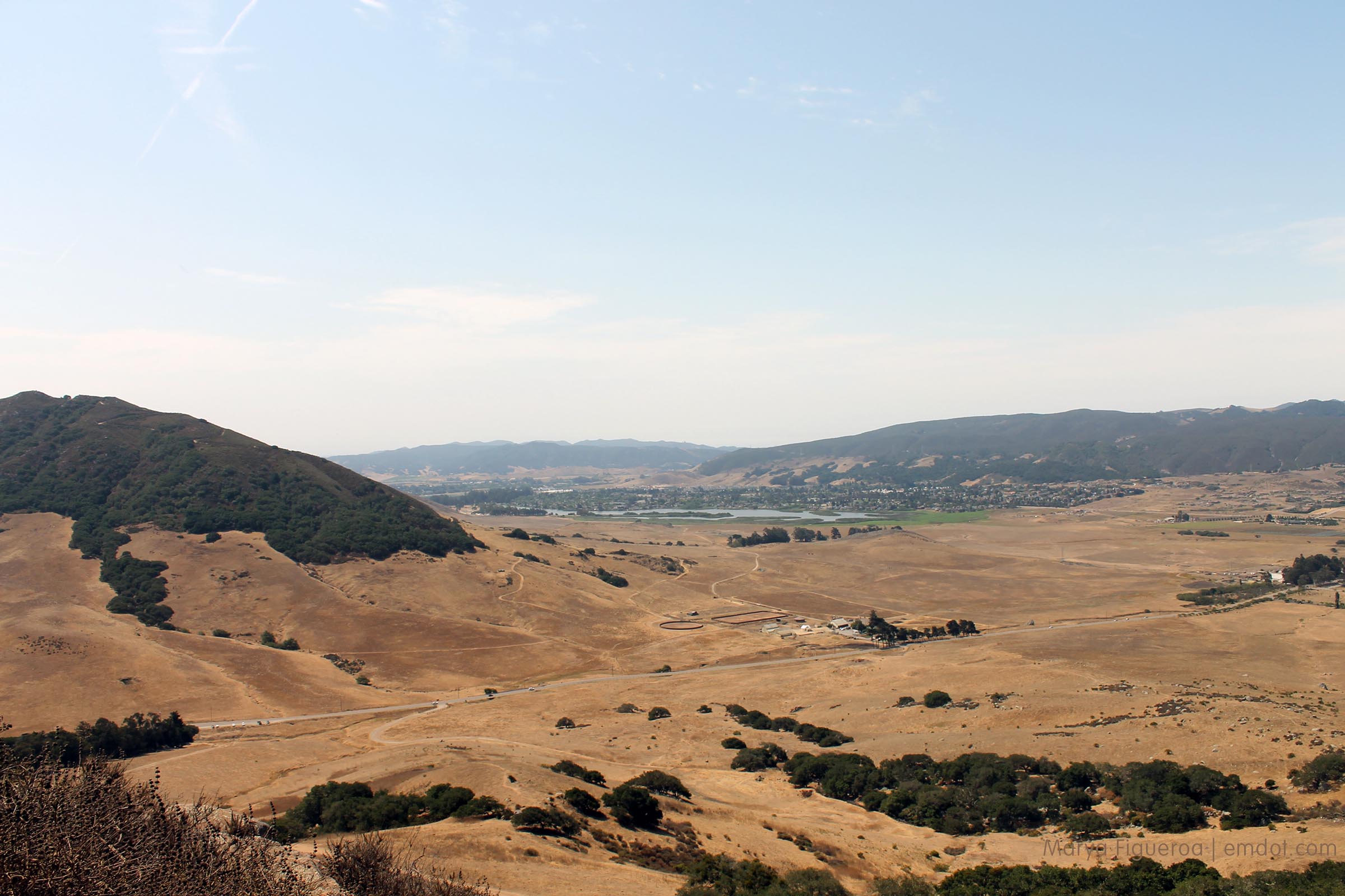
And then looking west over Los Osos Valley Road. (Compare: LOVR one past April.)
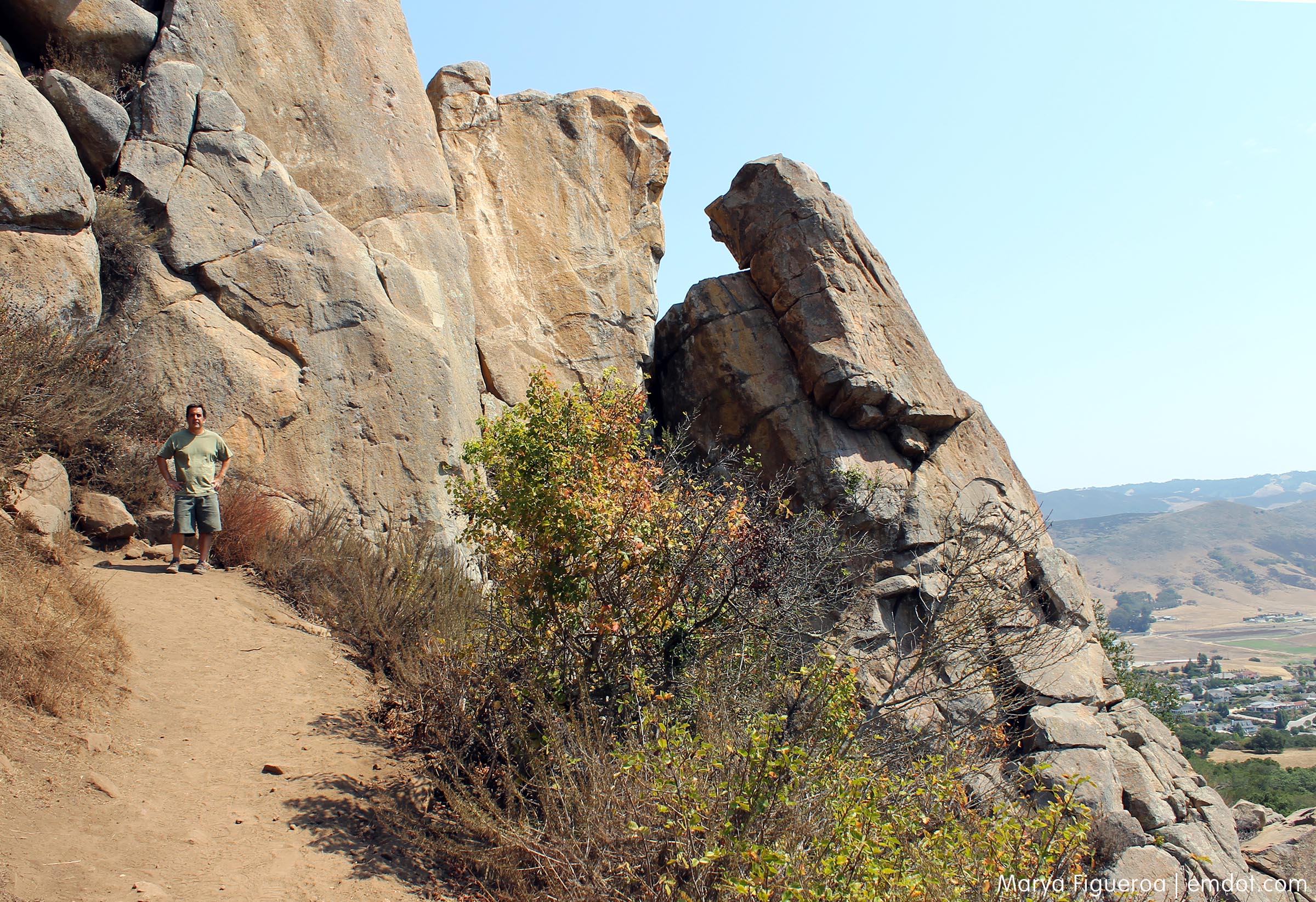
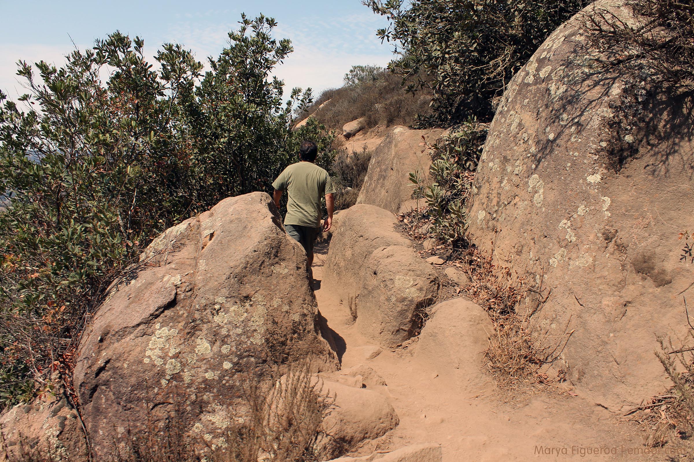
Bishop used to boast many little squeezy bits of trail — where you had to go in between two pieces of rock or two narrow fence poles. We all noticed that those squeezy bits have been slowly removed (the trail becoming broader and easier), but this one (below) still remains. We love the squeezy bits.
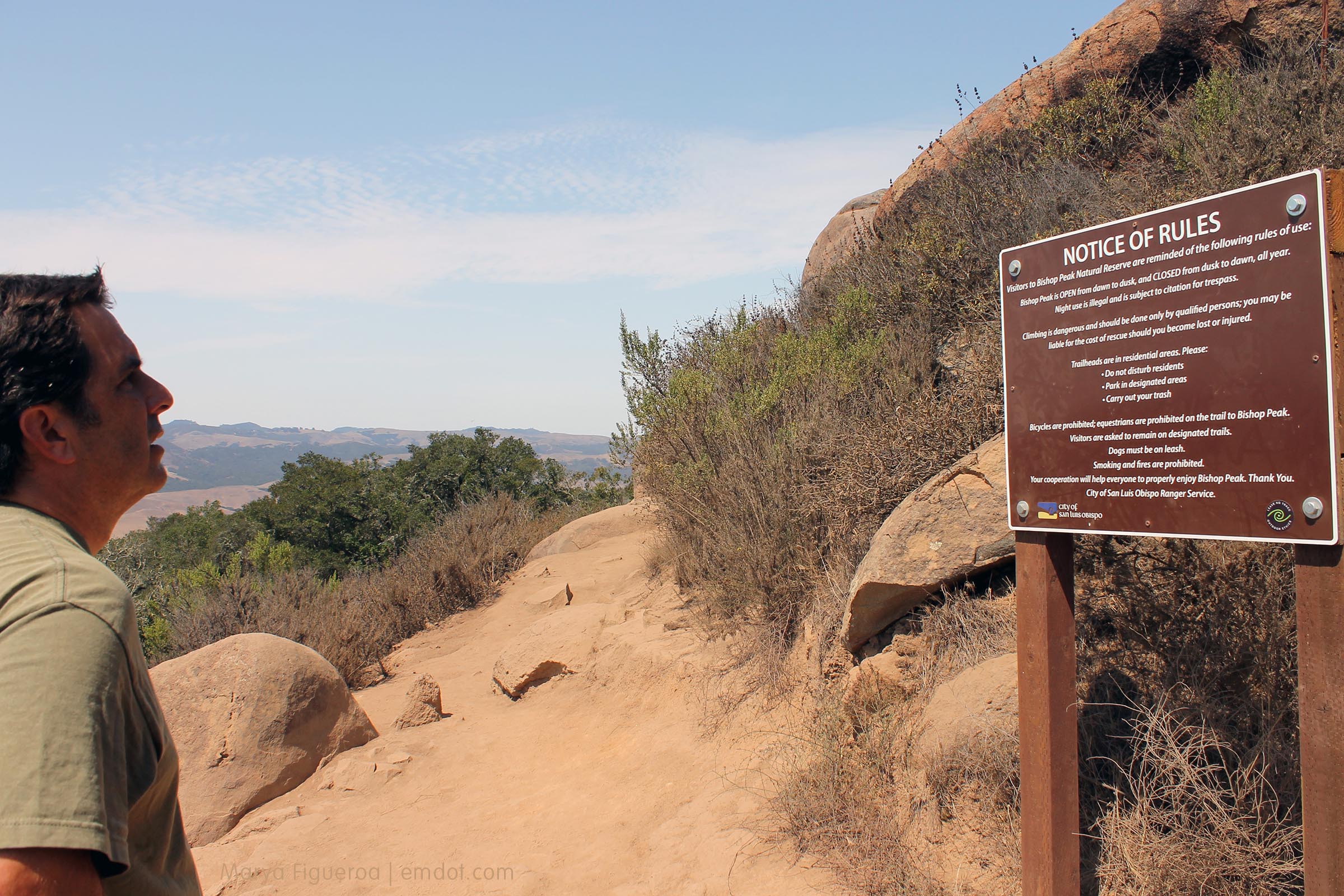
A new sign. And I didn’t show it but behind this sign are two smaller signs covered in graffiti, which I think is a political statement against this sign.
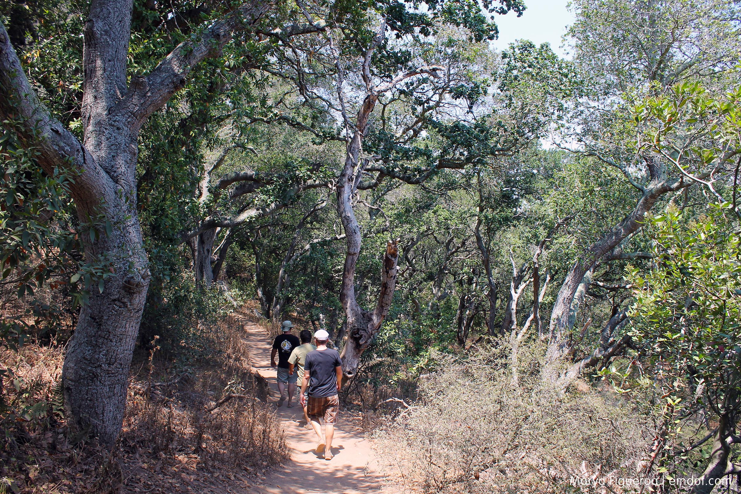
The hiking crew, making our way up. You can see a person ahead of us on the trail, coming back down. This was a woman in her 70s hiking on her own with a trusty walking stick. I want to be just like you, nice lady, when I am your age.
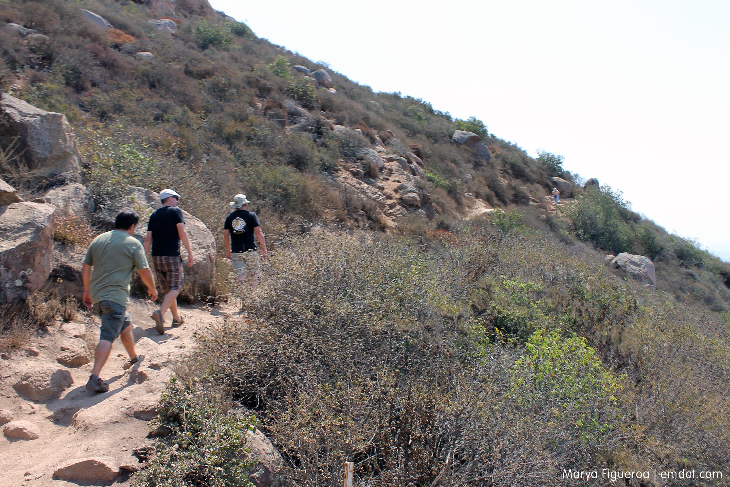
The trail was packed. Dan didn’t seem to think it was as busy as I did; he thought of this as normal. I think my memory is stuck on Olden Days when not that many other people were always out hiking. I have selective recollection.
In May, my mom and I hiked Valencia Peak in Los Osos (about 8 miles or so from this spot) and I was really taken with the blooming wild buckwheat. Two months later, the buckwheat is past its prime, but still looks lovely on the path.
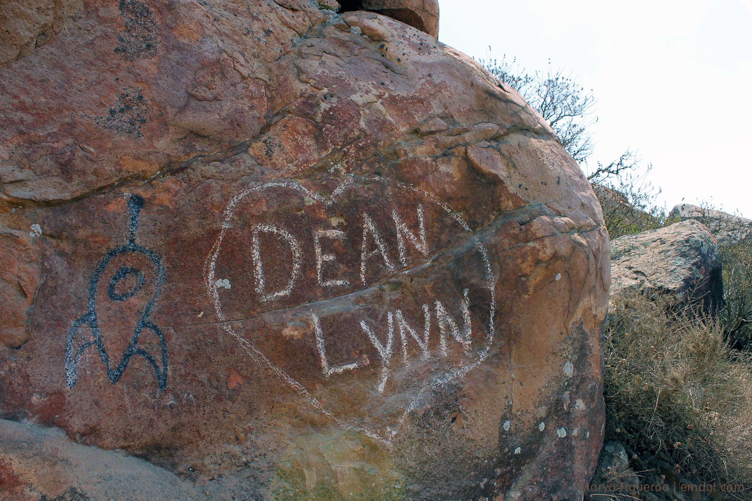
What is it with people’s need to mark up any flat surface they can. Yea for love Dean and Liz, but we don’t need your PDA covering our Bishop Peak. Related: I might be in the first stages of becoming a grumpy person. Knock it off, kids, you with your love and your marking rocks. And your rocket ships.
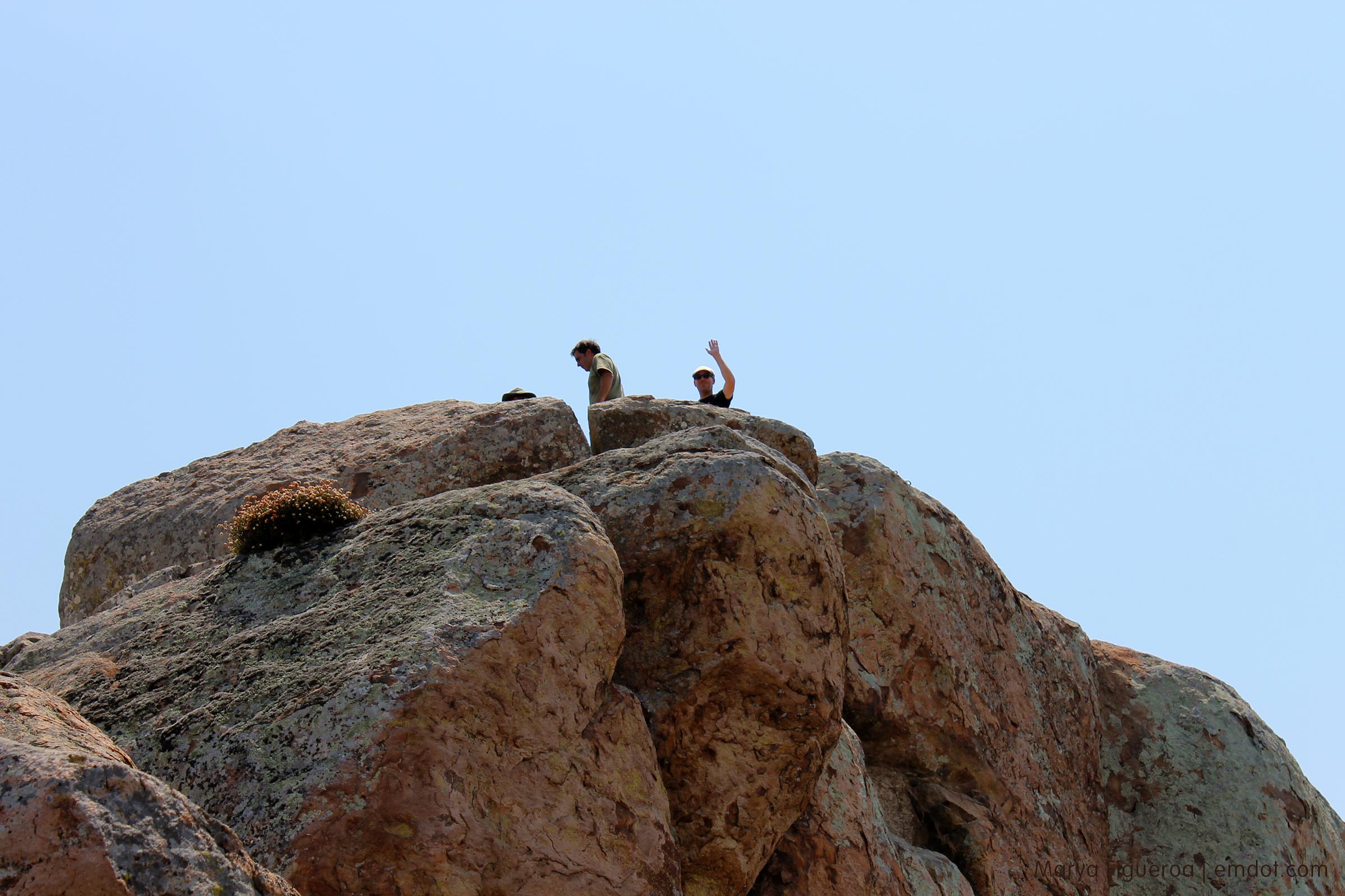
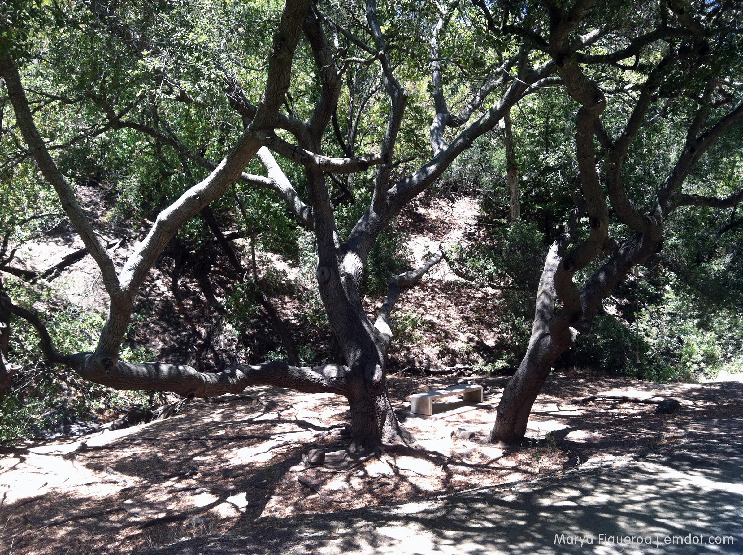
Finally we made it to the top. Well, I made it to the top where the bench is and parked it. Dan, Shane and Steve made it to the tip-top top of the tip-top rock. I go up there sometimes, but not often. Several people have died, slipping and falling to their deaths. I have great faith in my friends’ balance, but my own, not so much. So I usually park it on the bench and make friends with other hikers.
Steve in front of the same rock that Dan posed in front of at the beginning of this post.
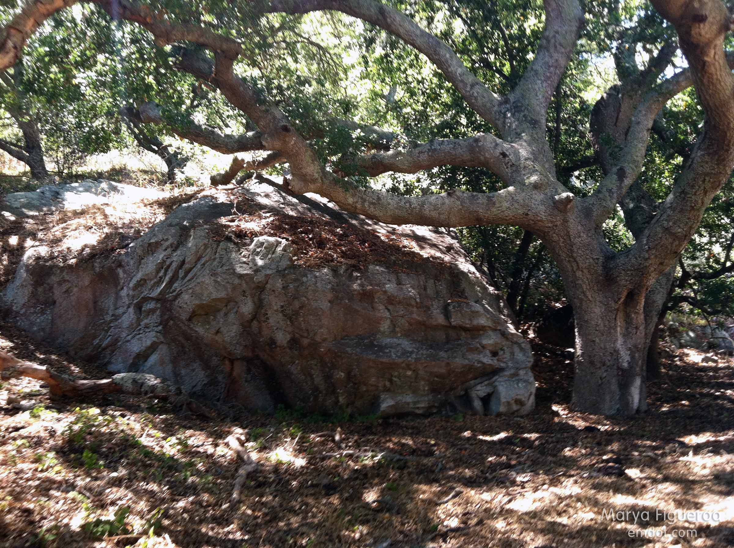
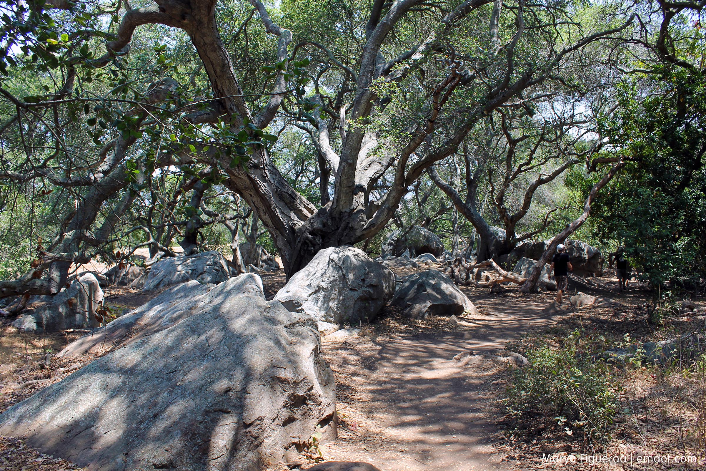
There is a nice little oak forest towards the base of this hike. It is so nice to hit the canopy after hiking all the way up the hill in the dry heat. Always welcomed, always pretty.
It was great hiking with Dan, Shane and Steve. Afterwards Corinna and Niels joined all of us for lunch at Bliss Cafe. The hike really took it out of me (perhaps it was the sun) and the rest of the day was resting and kicking back.
Cal Poly

Week 17. My first semi-cheat-week. I did hike Poly Canyon — so it does count. But this was really just a lunch walk and almost all my photos were of the animals I saw walking to the Canyon and walking back from the Canyon.
Like the goats, hired to clear a hillside.
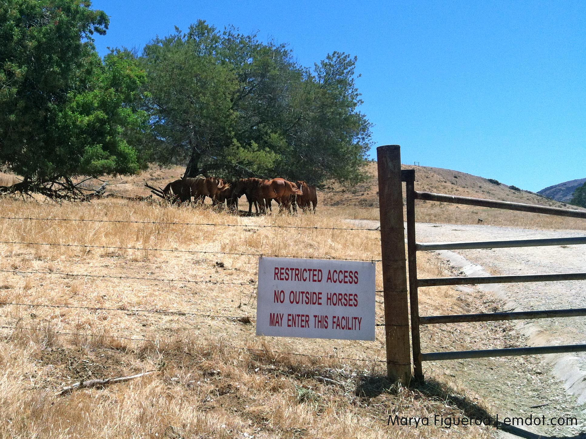
And the horses, huddling in the shade.
This is on the actual Poly Canyon part of the walk.
I also saw deer. They bolted the minute they saw me.